
High Littleton, localité britannique du comté anglais de Somerset
Emplacement : Bath and North East Somerset
Coordonnées GPS : 51.32260,-2.50870
Dernière mise à jour : 7 mars 2025 à 03:54

Ston Easton Park
4.7 km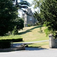
Cholwell House
2.8 km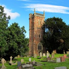
Church of St James, Cameley
3.7 km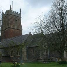
Church of St Augustine, Clutton
2.5 km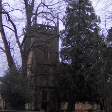
Church of the Holy Trinity, Paulton
1.7 km
Highbury Hill
1.2 km
Long Dole Wood and Meadows SSSI
4.2 km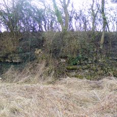
Bowlditch Quarry
3.3 km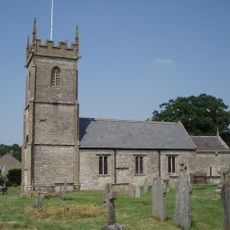
Church of All Saints, Farmborough
2.7 km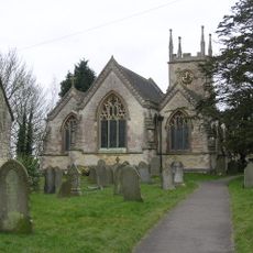
Church of St Mary the Virgin
2.1 km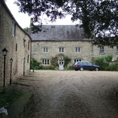
The Priory
4.3 km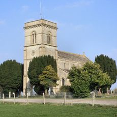
Church of St John the Baptist
2.8 km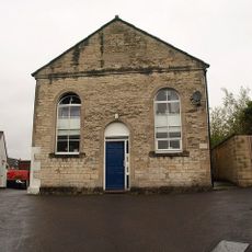
Welton Baptist Chapel
3.9 km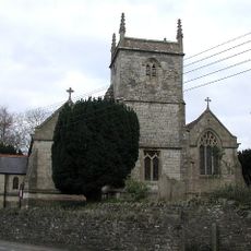
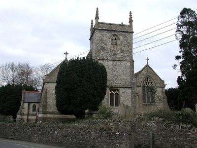
Church of Holy Trinity
320 m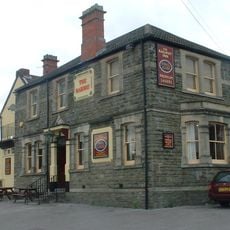
Railway Hotel
2.4 km
Pitfour House
2.2 km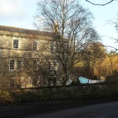
Radford House Farmhouse
2.2 km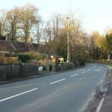
5, High Street
5 km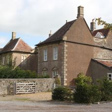
The Old Parsonage
3.2 km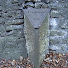
Milepost At Ngr St 6226 5397 On Roadside
4.9 km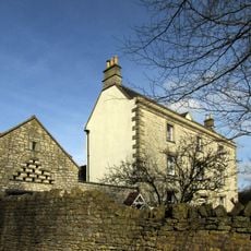
Conygre House
2.5 km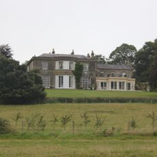
Parish's House
2.7 km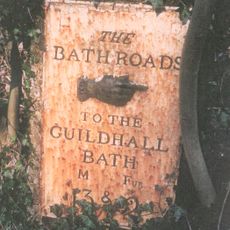
Milestone At Ngr St 6280 5498 On Roadside
3.8 km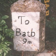
Milestone, Bath Road, Farmborough village, jct with Hunstrete Road
2.8 km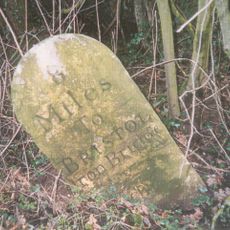
Milestone, Red Hill, N of Clutton
3.3 km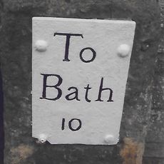
Milestone, High Street, just S of Eastover Road jct
78 m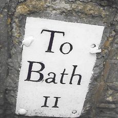
Milestone, Hallatrow, Wells Road, at Hart's Lane jct
1.4 km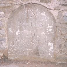
Milestone, Clutton opp. Warwick Arms
3 kmAvis
Vous avez visité ce lieu ? Touchez les étoiles pour le noter et partager votre expérience ou vos photos avec la communauté ! Essayez maintenant ! Vous pouvez annuler à tout moment.
Trouvez des trésors cachés à chaque coin de rue !
Des petits cafés pittoresques aux points de vue planqués, fuyez la foule et dénichez les lieux qui vous ressemblent vraiment. Notre app vous facilite la vie : recherche vocale, filtres malins, itinéraires optimisés et bons plans partagés par des voyageurs du monde entier. Téléchargez vite pour vivre l'aventure en version mobile !

Une approche inédite de la découverte touristique❞
— Le Figaro
Tous les lieux qui valent la peine d'être explorés❞
— France Info
Une excursion sur mesure en quelques clics❞
— 20 Minutes