
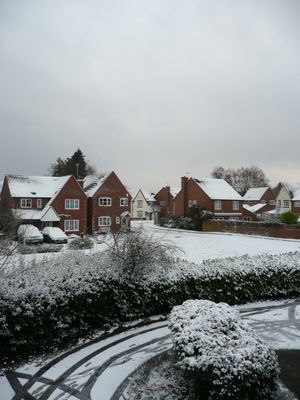
Liss, village britannique
Emplacement : East Hampshire
Altitude : 15 m
Site web : https://lissparishcouncil.gov.uk
Coordonnées GPS : 51.04278,-0.89194
Dernière mise à jour : 3 mars 2025 à 14:44
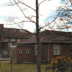
Bordon and Longmoor Military Camps
3.7 km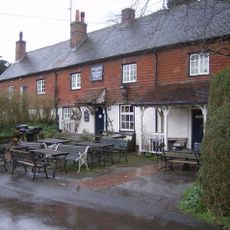
The Harrow
3.7 km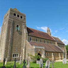
Church of St Mary
386 m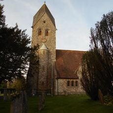
Church of St Peter and St Paul
3.5 km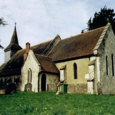
Church of the Holy Rood
4.4 km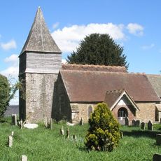
Church of St Peter
1.3 km
Old Church of St John
2.7 km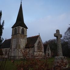
Church of St John the Baptist
2.8 km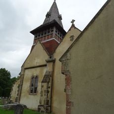
Church of All Saints
4 km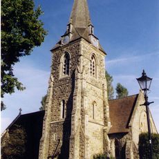
Church of St Mary Magdalene
3.6 km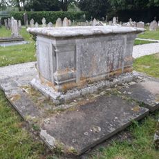
Table Tomb 3 Metres South Of The Church
1.2 km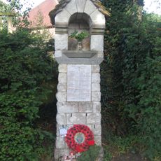
War Memorial on the Corner of Mill Lane and Church Road
4.3 km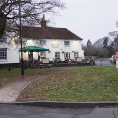
Spread Eagle Public House
1.1 km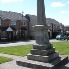
Liss War Memorial
107 m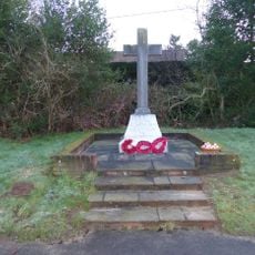
Rake War Memorial
2.6 km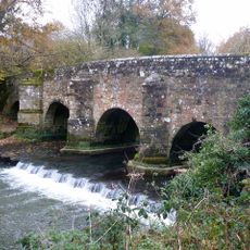
Durford Bridge
4.4 km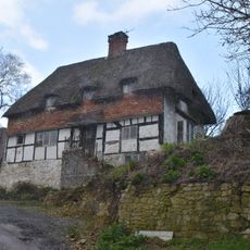
Mabbotts Farmhouse
3.5 km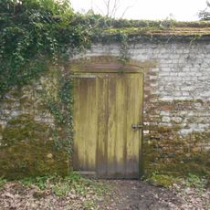
Kitchen Garden Wall Extending Eastwards From The Coach House
4.2 km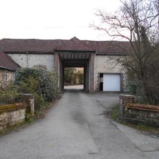
Gateway To Ashford Chase
4 km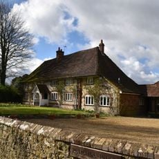
Parsons Piece
3.6 km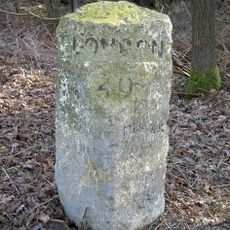
Milestone On South Side Of The B2070 London Road, Immediately East Of Entrance To Sussex Gate
1.9 km
Hill Place
4.3 km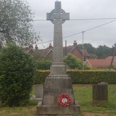
Liss WWI Memorial
388 m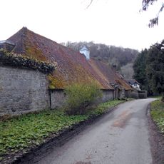
Coachhouse To Old Ashford Manor
4.2 km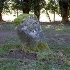
Milestone, Coldharbour Park Farm
3.1 km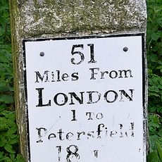
Milestone, London Road, by No. 21, E of roundabout
4 km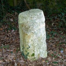
Milestone, London Road, Highfield Wood; by 'Milestone' house
1.9 km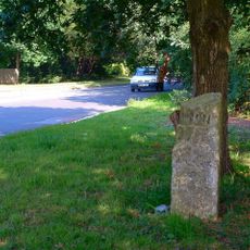
Milestone, The Shrubs
1.8 kmAvis
Vous avez visité ce lieu ? Touchez les étoiles pour le noter et partager votre expérience ou vos photos avec la communauté ! Essayez maintenant ! Vous pouvez annuler à tout moment.
Trouvez des trésors cachés à chaque coin de rue !
Des petits cafés pittoresques aux points de vue planqués, fuyez la foule et dénichez les lieux qui vous ressemblent vraiment. Notre app vous facilite la vie : recherche vocale, filtres malins, itinéraires optimisés et bons plans partagés par des voyageurs du monde entier. Téléchargez vite pour vivre l'aventure en version mobile !

Une approche inédite de la découverte touristique❞
— Le Figaro
Tous les lieux qui valent la peine d'être explorés❞
— France Info
Une excursion sur mesure en quelques clics❞
— 20 Minutes