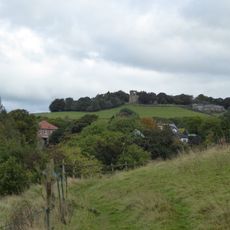
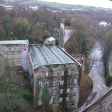
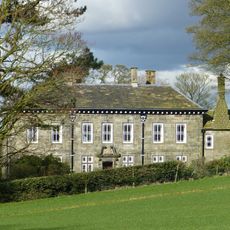
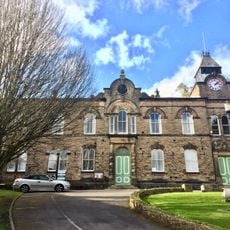
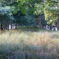
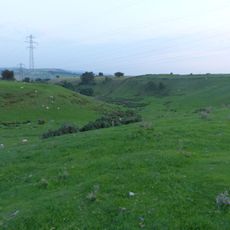
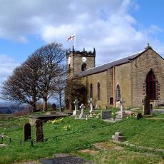
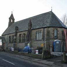
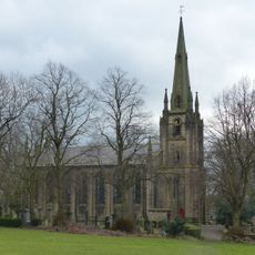
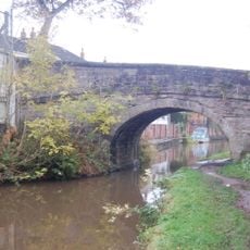
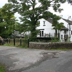
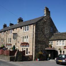
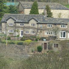
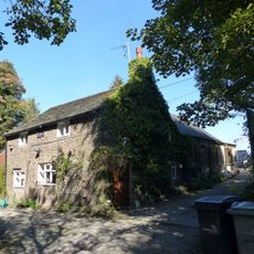
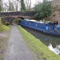
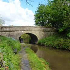
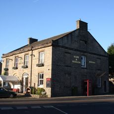
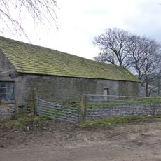
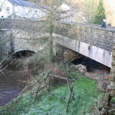
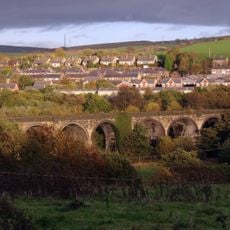
New Mills, localité britannique
Emplacement : High Peak
Partage une frontière avec : Mellor, Hayfield, Chisworth, Chinley, Buxworth and Brownside, Whaley Bridge, Disley
Site web : https://newmillstowncouncil.gov.uk
Coordonnées GPS : 53.36700,-2.00700
Dernière mise à jour : 4 mars 2025 à 15:47
Mellor hill fort
3.7 km
Torr Vale Mill
352 m
Mellor Hall
3.8 km
New Mills Town Hall
366 m
Brown Low
5.4 km
Ludworth Intake
5.6 km
St. Thomas' Church, Mellor
3.6 km
Shaw Cairn
1.9 km
Church of St James the Less and Attached Almshouses
536 m
Church of St George
862 m
Canal Bridge Number 26
1.7 km
Aspenshaw Hall
2.8 km
New Mills Free Church
569 m
Methodist Chapel
4.2 km
Fox Inn
1.4 km
Little Mill Inn
3.7 km
Kinder Lodge
4.2 km
Pear Tree Farmhouse
4.4 km
Lower Greenshall
1.4 km
Peak Forest Canal overbridge on Peak Forest Canal near Buxton Road
1.1 km
Stocks in graveyard of Church of St Thomas the Apostle
3.6 km
Hague Bridge
1.1 km
22, New Mills Road
4.2 km
Canal Bridge Number 27
1.3 km
The Hare And Hounds Hotel
1.2 km
Barn At Beard Hall Farm
1.5 km
The Bridge
624 m
Goyt Viaduct, New Mills
902 mVous avez visité ce lieu ? Touchez les étoiles pour le noter et partager votre expérience ou vos photos avec la communauté ! Essayez maintenant ! Vous pouvez annuler à tout moment.
Trouvez des trésors cachés à chaque coin de rue !
Des petits cafés pittoresques aux points de vue planqués, fuyez la foule et dénichez les lieux qui vous ressemblent vraiment. Notre app vous facilite la vie : recherche vocale, filtres malins, itinéraires optimisés et bons plans partagés par des voyageurs du monde entier. Téléchargez vite pour vivre l'aventure en version mobile !
Une approche inédite de la découverte touristique❞
— Le Figaro
Tous les lieux qui valent la peine d'être explorés❞
— France Info
Une excursion sur mesure en quelques clics❞
— 20 Minutes