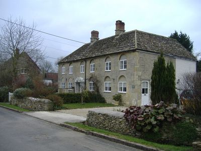
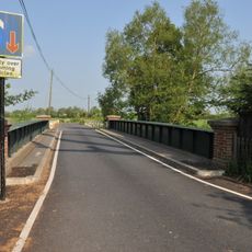
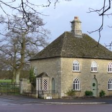
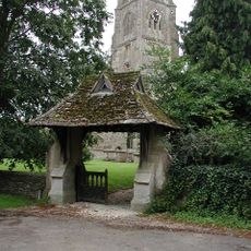
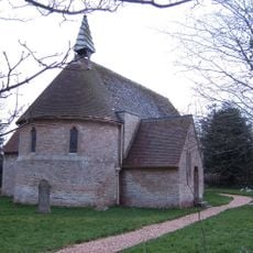
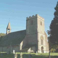
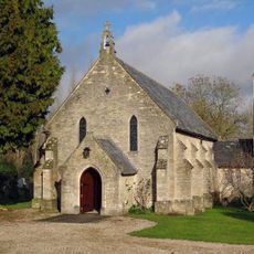
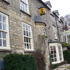
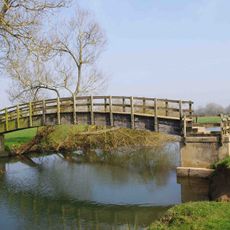
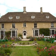
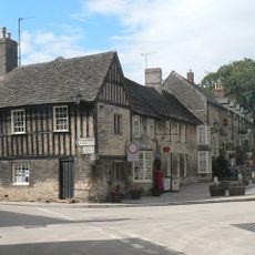
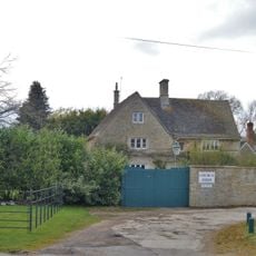
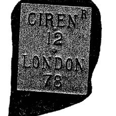
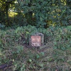
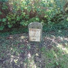
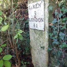
Kempsford, village britannique
Emplacement : Cotswold
Site web : http://kempsfordparishcouncil.net
Coordonnées GPS : 51.66900,-1.77000
Dernière mise à jour : 4 mars 2025 à 03:51
The Round House
4.9 km
St Mary's Church
4.5 km
St John the Baptist Church, Inglesham
4.8 km
Hannington Bridge
1.6 km
Castle Eaton Bridge
1.8 km
Fairford Park
4.9 km
Church of St Mary the Virgin
259 m
Church of St Anne
2.3 km
Parish Church of St Mary
1.6 km
Roman Catholic Church of St Thomas of Canterbury
3.9 km
Red Lion Inn
1.7 km
The Bull Hotel
4.4 km
Inglesham Footbridge
5 km
Kempsford Manor And West Wing
294 m
Group Of Ten Monuments About 5 Metres North Of Chancel In Churchyard Of Church Of St Mary The Virgin
256 m
The Chanting House
4.4 km
Applegarth House
5.6 km
Lynt Bridge Farmhouse
5.2 km
Church Farmhouse
4.8 km
Medieval settlement remains at Inglesham
5 km
Presbytery Of Church Of St Thomas Of Canterbury
3.9 km
Former Vicarage
4.9 km
The Laurels
5.6 km
Churchyard cross, 10m south east of St John the Baptist's Church
4.8 km
Milestone, ragully 157 yds W of entrance to Butlers Court
5.4 km
Milestone, just E of entrance to Claydon Fields.
4.4 km
Milestone, E of garage, E of Whelford turning.
4.2 km
Milestone, E of entrance to football ground.
4.5 kmAvis
Vous avez visité ce lieu ? Touchez les étoiles pour le noter et partager votre expérience ou vos photos avec la communauté ! Essayez maintenant ! Vous pouvez annuler à tout moment.
Trouvez des trésors cachés à chaque coin de rue !
Des petits cafés pittoresques aux points de vue planqués, fuyez la foule et dénichez les lieux qui vous ressemblent vraiment. Notre app vous facilite la vie : recherche vocale, filtres malins, itinéraires optimisés et bons plans partagés par des voyageurs du monde entier. Téléchargez vite pour vivre l'aventure en version mobile !
Une approche inédite de la découverte touristique❞
— Le Figaro
Tous les lieux qui valent la peine d'être explorés❞
— France Info
Une excursion sur mesure en quelques clics❞
— 20 Minutes