
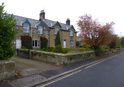
Longhirst, localité britannique
Emplacement : Northumberland
Coordonnées GPS : 55.19596,-1.64801
Dernière mise à jour : 5 avril 2025 à 01:16
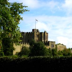
Château de Bothal
2.9 km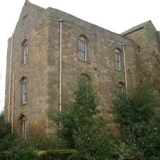
Cockle Park Tower
3 km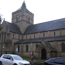
St James the Great, Morpeth
4 km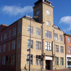
Ashington Town Hall
4.9 km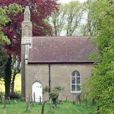
Church of St Cuthbert
3.2 km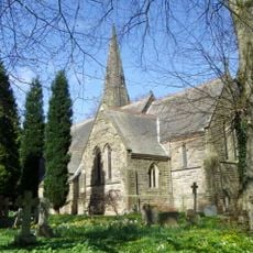
Church of St John the Evangelist
262 m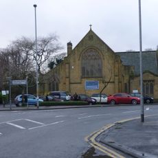
Church of the Holy Sepulchre
4.2 km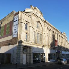
Ashington Co-operative Society Premises
5.3 km
Church of St John the Baptist
3.5 km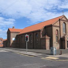
St Andrew's Church
5.8 km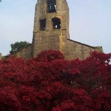
Church of St Andrew
2.9 km
Morpeth Library
4 km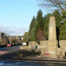
Longhirst War Memorial
7 m
St Margaret
1.6 km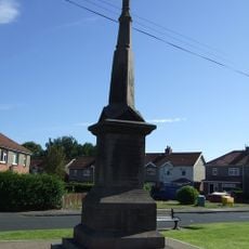
Guide Post War Memorial
4.9 km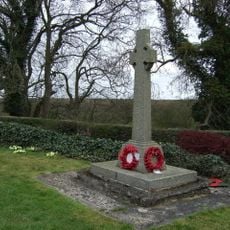
Ulgham War Memorial
3.5 km
Bothal War Memorial
2.9 km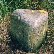
Milestone 30 Metres South Of Entrance East Moor Farm
5.2 km
Tritlington Old Hall
4 km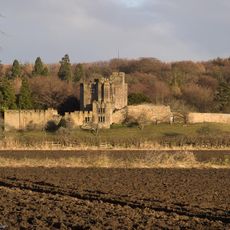
Bothal Castle Remains Of Curtain Wall To South Of Residential Block
3.1 km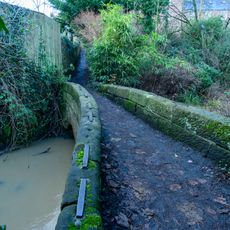
Footbridge On Beggar's Lane
3.9 km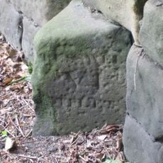
Milestone 110 Metres South Of Vicarage
119 m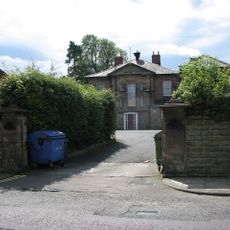
Morpeth Masonic Lodge, Winton House
3.8 km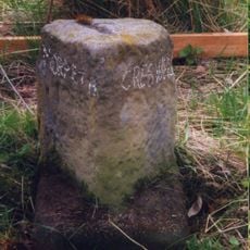
Milestone On South Side Of Road
1.4 km
Garden Walls At Tritlington Old Hall
4 km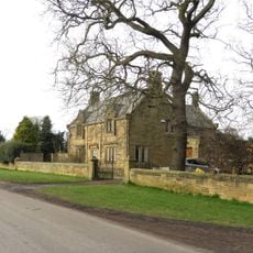
Garden Walls To Old Moor Farmhouse
2.1 km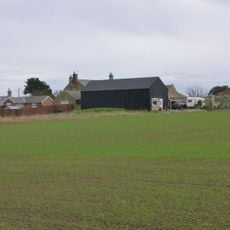
The Cockles; Barn Byres And Gingang To West Of Farmhouse
2.6 km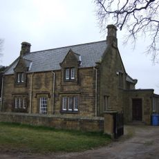
Old Moor Farmhouse
2.1 kmVous avez visité ce lieu ? Touchez les étoiles pour le noter et partager votre expérience ou vos photos avec la communauté ! Essayez maintenant ! Vous pouvez annuler à tout moment.
Trouvez des trésors cachés à chaque coin de rue !
Des petits cafés pittoresques aux points de vue planqués, fuyez la foule et dénichez les lieux qui vous ressemblent vraiment. Notre app vous facilite la vie : recherche vocale, filtres malins, itinéraires optimisés et bons plans partagés par des voyageurs du monde entier. Téléchargez vite pour vivre l'aventure en version mobile !

Une approche inédite de la découverte touristique❞
— Le Figaro
Tous les lieux qui valent la peine d'être explorés❞
— France Info
Une excursion sur mesure en quelques clics❞
— 20 Minutes