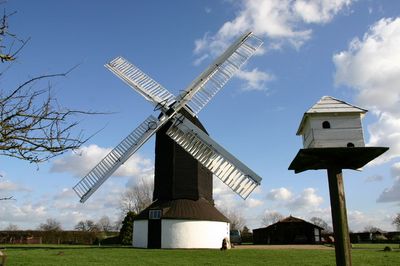
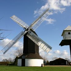
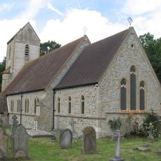
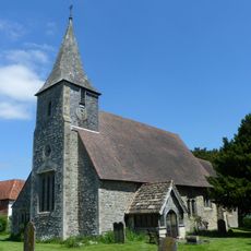
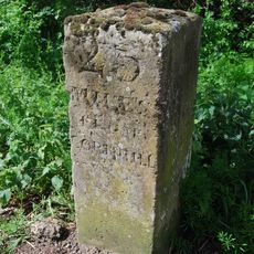
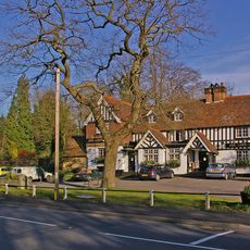
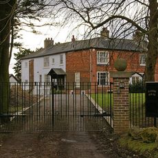
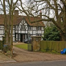
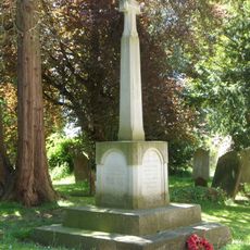
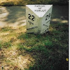
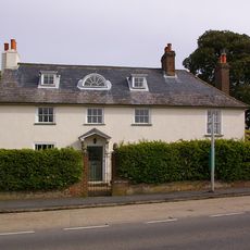
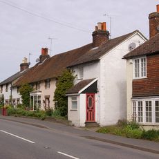
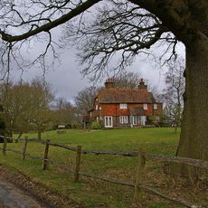
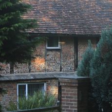
Outwood, localité britannique du comté anglais de Surrey
Emplacement : Tandridge
Coordonnées GPS : 51.19070,-0.11200
Dernière mise à jour : 11 avril 2025 à 18:31
Outwood Windmill
822 m
Nutfield Priory
5.4 km
Church of St John the Baptist, Outwood
837 m
Archway Theatre
4.2 km
Church of St Mary the Virgin
1.9 km
Church of St Peter and St Paul
5.8 km
Church of St John the Evanglist
4.1 km
Church of St Mary the Virgin
5.7 km
Chapel Of St Mark
4.3 km
Milestone, Eastbourne Road, quarter mile S of Railway Bridge
5 km
Milestone, Blindley Heath Common
4.5 km
The Queens Head Public House
5.5 km
Hamme House
4.2 km
Workshop At Royal Earlswood Hospital
5.2 km
Royal Earlswood Hospital, Original Building (Blocks 13-21)
5.2 km
The White Hart Inn Including Former Stable To Rear
5.6 km
Kings Mill House
4.4 km
Milestone, The Grange, Eastbourne Road, Blindley Heath
4.1 km
Blindley Heath War Memorial
4.2 km
The Manse
5.6 km
Two Lodges To Royal Earlswood Hospital
5.4 km
Horne WWI Memorial, Surrey
1.9 km
Milepost, Pentridge Common, Horley Road, 200m N of jct with A2044 (was B2035)
4.5 km
Halfway House
5.6 km
40-44, High Street
5.5 km
Godstone Place
4.6 km
Staplehurst Farm House
4 km
Brick Kiln
5.5 kmAvis
Vous avez visité ce lieu ? Touchez les étoiles pour le noter et partager votre expérience ou vos photos avec la communauté ! Essayez maintenant ! Vous pouvez annuler à tout moment.
Trouvez des trésors cachés à chaque coin de rue !
Des petits cafés pittoresques aux points de vue planqués, fuyez la foule et dénichez les lieux qui vous ressemblent vraiment. Notre app vous facilite la vie : recherche vocale, filtres malins, itinéraires optimisés et bons plans partagés par des voyageurs du monde entier. Téléchargez vite pour vivre l'aventure en version mobile !
Une approche inédite de la découverte touristique❞
— Le Figaro
Tous les lieux qui valent la peine d'être explorés❞
— France Info
Une excursion sur mesure en quelques clics❞
— 20 Minutes