
Welton, village britannique
Emplacement : East Riding of Yorkshire
Coordonnées GPS : 53.73334,-0.54516
Dernière mise à jour : 4 mars 2025 à 12:25
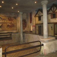
Petuaria
2.1 km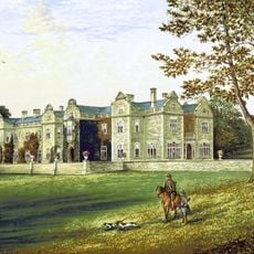
Brantingham Thorpe
2.5 km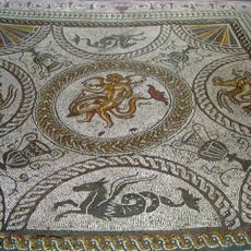
Romano-British villa at Cockle Pits, near Brantingham
3.3 km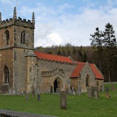
Church of All Saints
3.3 km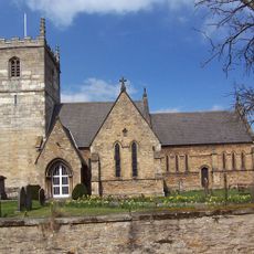
Church of St Mary
1.9 km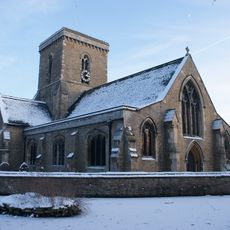
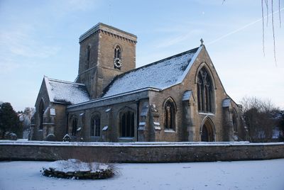
Church of St Helen
174 m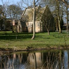
Wauldby Chapel
2.6 km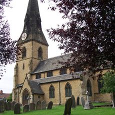
Church of All Saints
3.2 km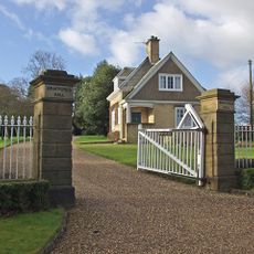
Braffords Hall
4.3 km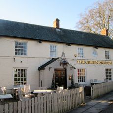
Green Dragon Public House
305 m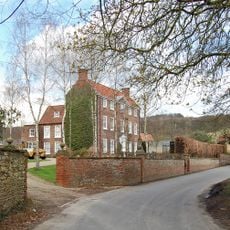
Brantingham Hall
3.1 km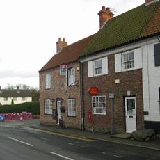
Post Office
3.5 km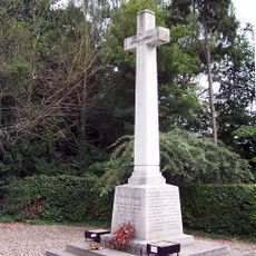
North Ferriby War Memorial
3.1 km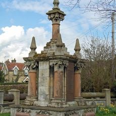
Brantingham War Memorial and Screen Wall
2.9 km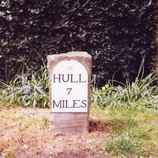
Milestone, Kemp Road, Swanland
3.5 km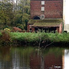
Welton Mill
323 m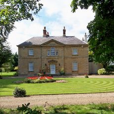
Welton Grange
427 m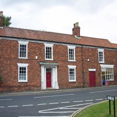
Barn House
267 m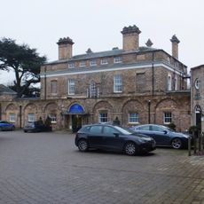
Hesslewood
5.8 km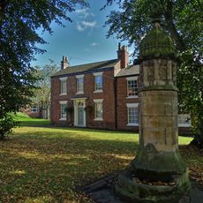
The Fountain And Basin
247 m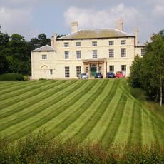
Raywell House
4.6 km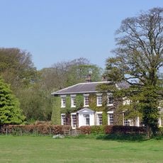
Manor Farmhouse
2.6 km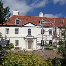
Welton Lodge
120 m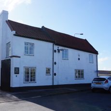
Stable At Welton Garth
449 m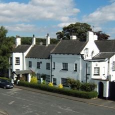
Welton Garth
435 m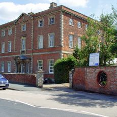
Ferriby House
2.9 km
Milestone, Saltgrounds Road, Brough, just S of Ferry Inn
2.4 km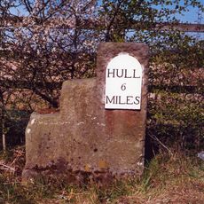
Milestone, NE verge of roundabout opposite Veterinary practice.
4.9 kmAvis
Vous avez visité ce lieu ? Touchez les étoiles pour le noter et partager votre expérience ou vos photos avec la communauté ! Essayez maintenant ! Vous pouvez annuler à tout moment.
Trouvez des trésors cachés à chaque coin de rue !
Des petits cafés pittoresques aux points de vue planqués, fuyez la foule et dénichez les lieux qui vous ressemblent vraiment. Notre app vous facilite la vie : recherche vocale, filtres malins, itinéraires optimisés et bons plans partagés par des voyageurs du monde entier. Téléchargez vite pour vivre l'aventure en version mobile !

Une approche inédite de la découverte touristique❞
— Le Figaro
Tous les lieux qui valent la peine d'être explorés❞
— France Info
Une excursion sur mesure en quelques clics❞
— 20 Minutes