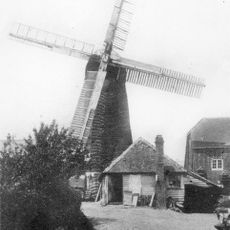
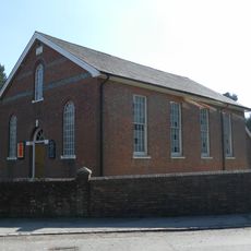
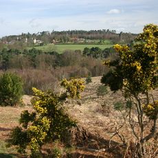
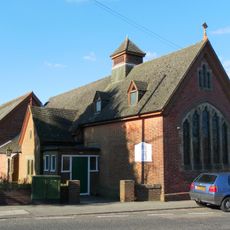
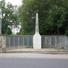
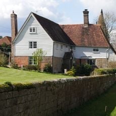
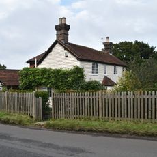
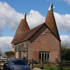
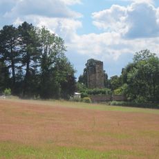
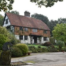
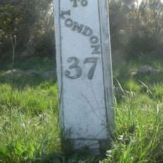
Crowborough, localité britannique
Emplacement : Wealden
Altitude : 242 m
Partage une frontière avec : Groombridge
Site web : http://crowboroughtowncouncil.gov.uk/default.aspx
Coordonnées GPS : 51.06000,0.16000
Dernière mise à jour : 2 mars 2025 à 23:55
Buckhurst Park
4.1 km
Luxford House
2 km
Leyswood
4.1 km
Bowles Rocks
3.3 km
St John the Evangelist Church, Heron's Ghyll
5.3 km
Pratt's Mill, Crowborough
367 m
Rehoboth Chapel, Jarvis Brook
2.5 km
Old Lodge
5.7 km
Crowborough Community Church
71 m
Crowborough Country Park
1.9 km
Hastingford Cutting
5.4 km
The Parish Church of St Denys
4.4 km
The Parish Church of All Saints
618 m
Holy Trinity Church
5.1 km
St John's Church
1.2 km
St Michael & All Angels
2.6 km
The King's Arms Public House
4.5 km
Crowborough Library
180 m
Crowborough War Memorial
658 m
Medieval moated site with adjacent late medieval Pondbay, Walsh Manor, Crowborough
2.8 km
Whitehouse Farmhouse
2.8 km
Forestland
4.4 km
Renby Farmhouse Eridge Station
4.2 km
Boxgate Farmhouse
900 m
The Oasthouse
4.2 km
Old Buckhurst, The Gateway To The North West Of The House
4.6 km
Friar's Gate Farmhouse
2.2 km
Milepost, Camp Hill; 330m N track to Crows Nest
4.4 kmVous avez visité ce lieu ? Touchez les étoiles pour le noter et partager votre expérience ou vos photos avec la communauté ! Essayez maintenant ! Vous pouvez annuler à tout moment.
Trouvez des trésors cachés à chaque coin de rue !
Des petits cafés pittoresques aux points de vue planqués, fuyez la foule et dénichez les lieux qui vous ressemblent vraiment. Notre app vous facilite la vie : recherche vocale, filtres malins, itinéraires optimisés et bons plans partagés par des voyageurs du monde entier. Téléchargez vite pour vivre l'aventure en version mobile !
Une approche inédite de la découverte touristique❞
— Le Figaro
Tous les lieux qui valent la peine d'être explorés❞
— France Info
Une excursion sur mesure en quelques clics❞
— 20 Minutes