
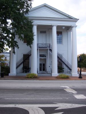
Cheraw Historic District
Cheraw Historic District, historic district in South Carolina, United States
Emplacement : Cheraw
Coordonnées GPS : 34.69720,-79.88750
Dernière mise à jour : 14 mars 2025 à 10:49
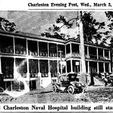
Naval Health Clinic Charleston
20 km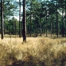
Carolina Sandhills National Wildlife Refuge
34.1 km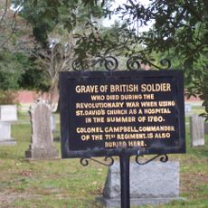
St. David's Episcopal Church and Cemetery
760 m
Covington Plantation House
23.5 km
Rockingham County Courthouse
28.7 km
Boggan-Hammond House and Alexander Little Wing
34.7 km
Pegues Place
11.7 km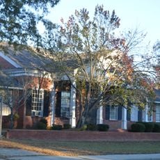
Robert Smalls School
633 m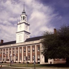
Bennettsville Historic District
20.9 km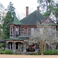
Clio Historic District
33.8 km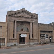
Main Street Commercial Historic District
27 km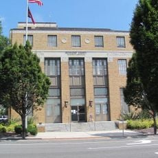
U. S. Post Office and Federal Building
28.6 km
Roberdel Mill No. 1 Company Store
33.2 km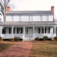
Jennings-Brown House
21.6 km
Magnolia House
21.1 km
Robertson-Easterling-McLaurin House
12.3 km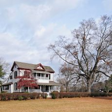
McLaurin-Roper-McColl Farmstead
30.9 km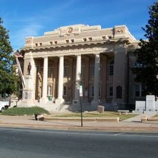
Wadesboro Downtown Historic District
34.5 km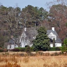
Manship Farmstead
27 km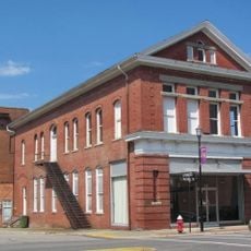
Bank of Pee Dee Building
29 km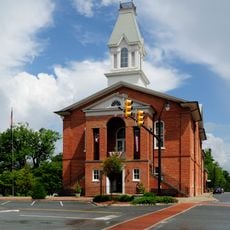
East Main Street Historic District (Chesterfield, South Carolina)
18.4 km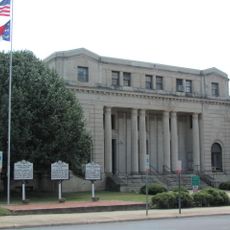
Richmond County Courthouse
28.7 km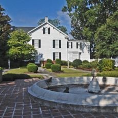
Rockingham Historic District
29.5 km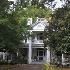
H. C. Watson House
28.1 km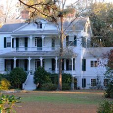
Appin
18.6 km
Manufacturers Building
28.9 km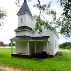
West Main Street Historic District (Chesterfield, South Carolina)
19.2 km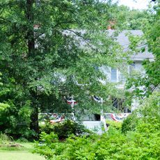
Dr. Thomas E. Lucas House
19.5 kmVous avez visité ce lieu ? Touchez les étoiles pour le noter et partager votre expérience ou vos photos avec la communauté ! Essayez maintenant ! Vous pouvez annuler à tout moment.
Trouvez des trésors cachés à chaque coin de rue !
Des petits cafés pittoresques aux points de vue planqués, fuyez la foule et dénichez les lieux qui vous ressemblent vraiment. Notre app vous facilite la vie : recherche vocale, filtres malins, itinéraires optimisés et bons plans partagés par des voyageurs du monde entier. Téléchargez vite pour vivre l'aventure en version mobile !

Une approche inédite de la découverte touristique❞
— Le Figaro
Tous les lieux qui valent la peine d'être explorés❞
— France Info
Une excursion sur mesure en quelques clics❞
— 20 Minutes