
Paris Township, établissement humain, comté de Stark, Ohio, États-Unis
Emplacement : Stark County
Création : 1 avril 1818
Altitude : 286 m
Coordonnées GPS : 40.75694,-81.12167
Dernière mise à jour : 3 avril 2025 à 17:46
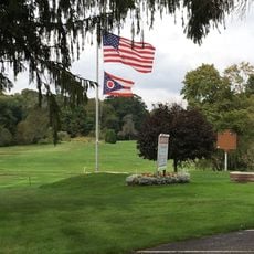
Clearview Golf Club
10.7 km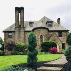
District historique de Ridgewood
21.6 km
Kendal
9.7 km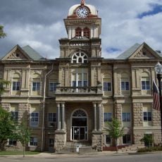
Carroll County Courthouse
20.8 km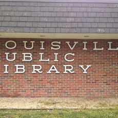
Louisville Public Library
14.6 km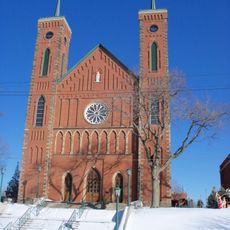
St. Louis Church
14.8 km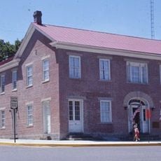
Daniel McCook House
20.8 km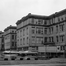
Old McKinley High School
21.8 km
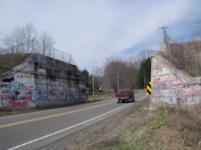
Seven Ranges Terminus
20.3 km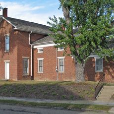
Haines House
18.3 km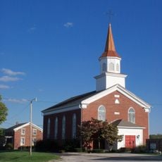
St. Mary of the Immaculate Conception Church
17 km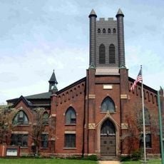
First Church of the Resurrection
21.4 km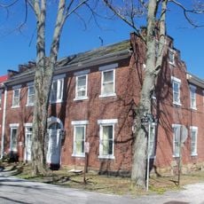
Hanoverton Canal Town District
15.7 km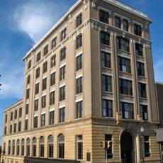
Alliance Bank Building
18.5 km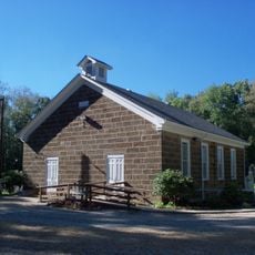
John Herrington House and Herrington Bethel Church
15.1 km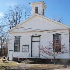
Middle Sandy Presbyterian Church
10 km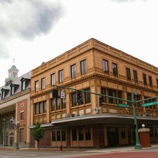
Upper Downtown Canton Historic District
21.8 km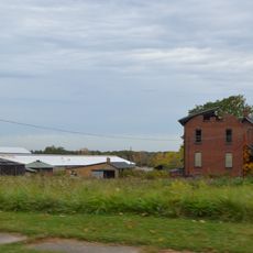
Alliance Clay Product Company
16.7 km
Eagles Building-Strand Theater
18.4 km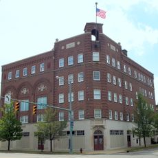
Eagles Temple
21.8 km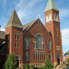
First Methodist Episcopal Church
18.2 km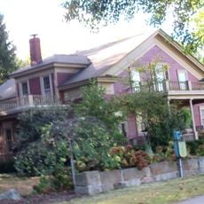
Patrick Hull House
6.6 km
Funtimes Fun Park
16.9 km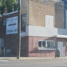
Mohawk Theater
15.3 km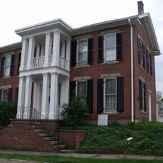
Haines House Underground Railroad Museum
18.3 km
Elson-Magnolia Flour Mill
18.9 km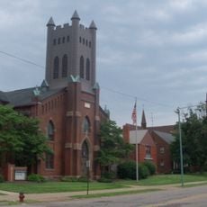
First Reformed and First Lutheran Churches
21.2 km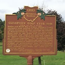
Clearview Golf Club, 1946
10.8 kmAvis
Vous avez visité ce lieu ? Touchez les étoiles pour le noter et partager votre expérience ou vos photos avec la communauté ! Essayez maintenant ! Vous pouvez annuler à tout moment.
Trouvez des trésors cachés à chaque coin de rue !
Des petits cafés pittoresques aux points de vue planqués, fuyez la foule et dénichez les lieux qui vous ressemblent vraiment. Notre app vous facilite la vie : recherche vocale, filtres malins, itinéraires optimisés et bons plans partagés par des voyageurs du monde entier. Téléchargez vite pour vivre l'aventure en version mobile !

Une approche inédite de la découverte touristique❞
— Le Figaro
Tous les lieux qui valent la peine d'être explorés❞
— France Info
Une excursion sur mesure en quelques clics❞
— 20 Minutes