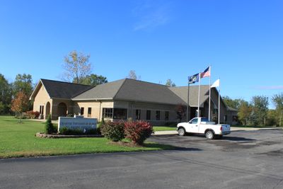
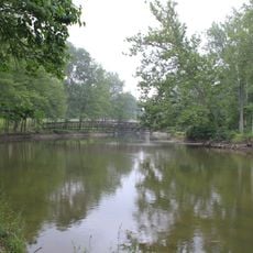
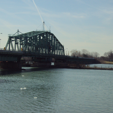
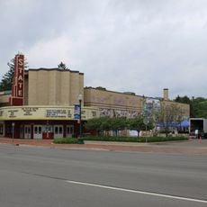
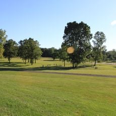
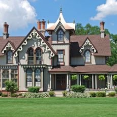
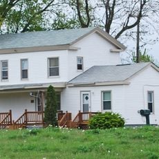
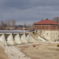
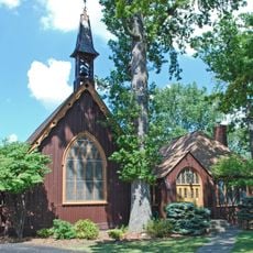
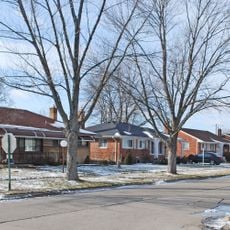
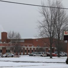
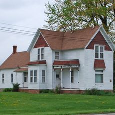
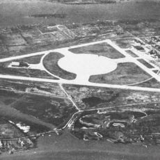
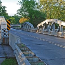
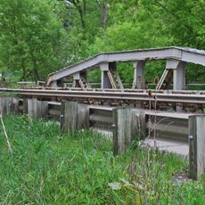
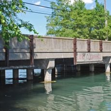
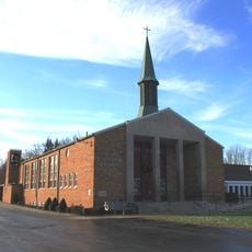
Huron Charter Township, township in Wayne County, Michigan
Emplacement : Wayne County
Altitude : 189 m
Coordonnées GPS : 42.13361,-83.36194
Dernière mise à jour : 13 mars 2025 à 19:34
Grosse Ile
16.7 km
Michigan Flight Museum
16.8 km
Flat Rock Speedway
7.4 km
Gateway Bridge
16.5 km
Grosse Ile Toll Bridge
17.3 km
Lake Erie Metropark
14.3 km
Lower Huron Metropark
7.1 km
Wayne County Bridge
15.4 km
State Wayne Theater
16.8 km
Willow Metropark
1.2 km
East River Road Historic District
18.2 km
Sheldon Inn
18.3 km
French Landing Dam and Powerhouse
11.1 km
St. James Episcopal Church
18.1 km
District historique d'Annapolis Park
15.4 km
Huron High School
1.5 km
Jefferson Avenue–Huron River and Harbin Drive–Silver Creek Canal Bridges
15.9 km
John and Edna Truesdell Fischer Farmstead
17.8 km
Calf Island
15.5 km
Gibraltar Road–Waterway Canal Bridge
14.8 km
Waltz Road–Huron River Bridge
4.6 km
Lilley Road–Lower Rouge River Bridge
18 km
East River Road–North Hickory Canal Bridge
17.9 km
South Pointe Drive–Frenchman's Creek Bridge
16 km
St. John's Lutheran Church and School
4.5 km
Ferry Street–Thorofare Canal Bridge
17 km
Southgate Tower
15.3 km
Old Rawsonville Village Historical Marker
17.5 kmVous avez visité ce lieu ? Touchez les étoiles pour le noter et partager votre expérience ou vos photos avec la communauté ! Essayez maintenant ! Vous pouvez annuler à tout moment.
Trouvez des trésors cachés à chaque coin de rue !
Des petits cafés pittoresques aux points de vue planqués, fuyez la foule et dénichez les lieux qui vous ressemblent vraiment. Notre app vous facilite la vie : recherche vocale, filtres malins, itinéraires optimisés et bons plans partagés par des voyageurs du monde entier. Téléchargez vite pour vivre l'aventure en version mobile !
Une approche inédite de la découverte touristique❞
— Le Figaro
Tous les lieux qui valent la peine d'être explorés❞
— France Info
Une excursion sur mesure en quelques clics❞
— 20 Minutes