
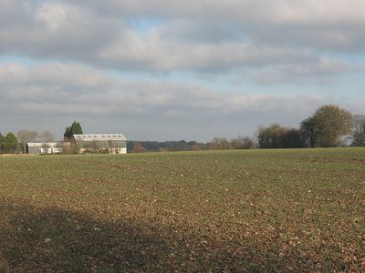
Rumney Farmhouse, farmhouse in Stansted, Tonbridge and Malling, Kent, UK
Emplacement : Stansted
Coordonnées GPS : 51.34895,0.29803
Dernière mise à jour : 11 mars 2025 à 14:07
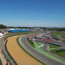
Circuit de Brands Hatch
2.6 km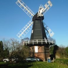
Killick's Mill, Meopham
4.1 km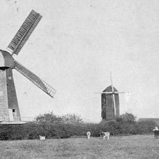
West Kingsdown Windmill
2.4 km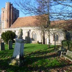
Parish Church of Saint Peter and Saint Paul
955 m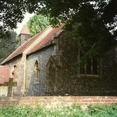
Church of Saint Peter
1.5 km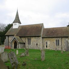
Church of All Saints
3.3 km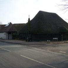
Church of St Francis De Sales
4.2 km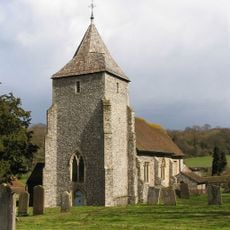
Church of St Mary
1.6 km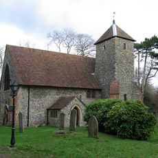
Church of Saint Edmund
2.2 km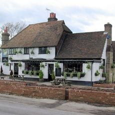
The White Swan Public House
954 m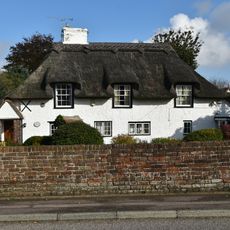
Woodins
4.4 km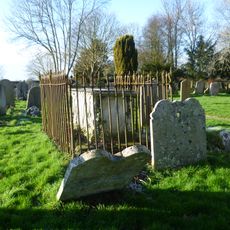
Monument To Lock Family In Churchyard Of Parish Church Of Saint Peter And Saint Paul
940 m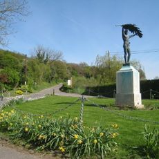
Stansted War Memorial
1.5 km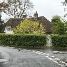
Hartley Hill Cottage
2.9 km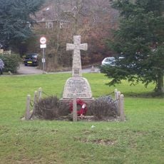
Fawkham War Memorial
2.5 km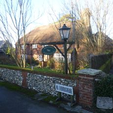
Holywell Farmhouse
2.4 km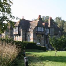
Fawkham Manor and a pair of gates to the west of the house
2.8 km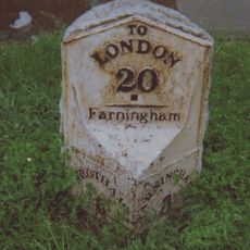
Two milestones at West Kingsdown
2.3 km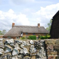
Owls Castle
3.4 km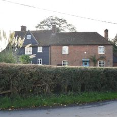
Johnson's Farmhouse
2.3 km
Hodsoll House
2.5 km
Hognore Farm House
4.4 km
Scudders
3.7 km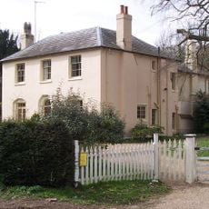
The Rectory
4.1 km
Greenfields
2.5 km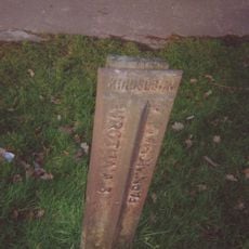
Milepost, London Road, opp "Sandsford House", outside "Ajacio", W of School Lane
2.4 km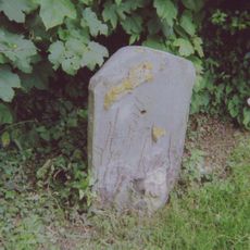
Milestone, Old London Road, W of jct with High Street, opp. Coach Lodge
4.4 km
Milestone, London Road, N of Millfield Road, at front of Texaco filling station
3.1 kmAvis
Vous avez visité ce lieu ? Touchez les étoiles pour le noter et partager votre expérience ou vos photos avec la communauté ! Essayez maintenant ! Vous pouvez annuler à tout moment.
Trouvez des trésors cachés à chaque coin de rue !
Des petits cafés pittoresques aux points de vue planqués, fuyez la foule et dénichez les lieux qui vous ressemblent vraiment. Notre app vous facilite la vie : recherche vocale, filtres malins, itinéraires optimisés et bons plans partagés par des voyageurs du monde entier. Téléchargez vite pour vivre l'aventure en version mobile !

Une approche inédite de la découverte touristique❞
— Le Figaro
Tous les lieux qui valent la peine d'être explorés❞
— France Info
Une excursion sur mesure en quelques clics❞
— 20 Minutes