
48 And 49, Petworth Road, building in Boxgrove, Chichester, West Sussex, UK
Emplacement : Boxgrove
Coordonnées GPS : 50.86680,-0.70793
Dernière mise à jour : 17 mars 2025 à 09:03

Goodwood House
2.4 km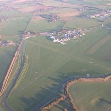
Circuit de Goodwood
3.7 km
Goodwood plant
3 km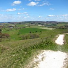
Trundle
4.3 km
Eartham Pit
1.3 km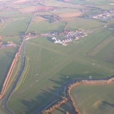
Chichester/Goodwood Airport
3.7 km
Tangmere Military Aviation Museum
2.3 km
Halnaker Windmill
1.7 km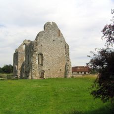
Prieuré de Boxgrove
734 m
Aldingbourne House
2 km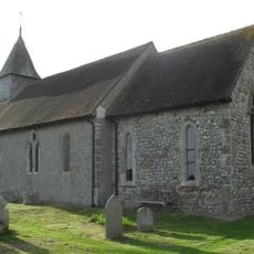
St George's Church
4.7 km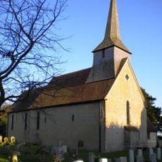
St Andrew's Church, Tangmere
2.3 km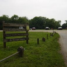
Goodwood Country Park
3.4 km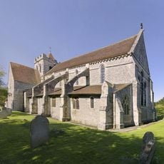
The Priory Church of St Mary and St Blaize, Bloxworth
796 m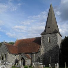
The Parish Church of St Andrew
3.4 km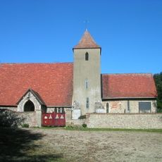
The Parish Church of St Peter
3.6 km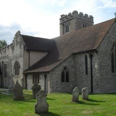
The Parish Church of St Mary
3.1 km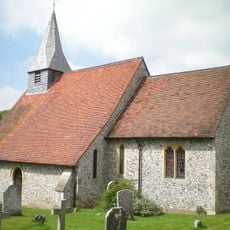
The Parish Church of St Margaret
3 km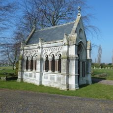
The John Abel Smith Memorial Chapel
4.6 km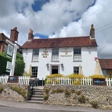
The Royal Oak Public House
4.7 km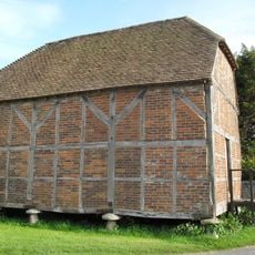
Granary/Outbuilding at Manor Farm to the north west of the Farmhouse
4.7 km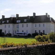
Eartham House
3 km
Boxgrove Priory
781 m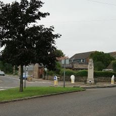
Eastergate War Memorial
4.3 km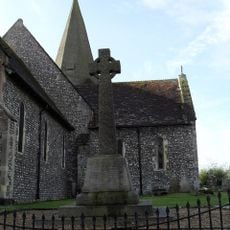
Oving War Memorial
3.4 km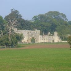
Halnaker House
220 m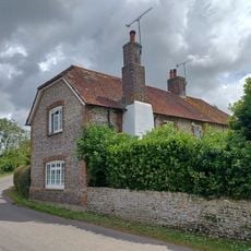
12 And 13, Main Road
4.5 km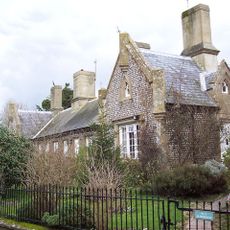
The Almshouses
3.3 kmAvis
Vous avez visité ce lieu ? Touchez les étoiles pour le noter et partager votre expérience ou vos photos avec la communauté ! Essayez maintenant ! Vous pouvez annuler à tout moment.
Trouvez des trésors cachés à chaque coin de rue !
Des petits cafés pittoresques aux points de vue planqués, fuyez la foule et dénichez les lieux qui vous ressemblent vraiment. Notre app vous facilite la vie : recherche vocale, filtres malins, itinéraires optimisés et bons plans partagés par des voyageurs du monde entier. Téléchargez vite pour vivre l'aventure en version mobile !

Une approche inédite de la découverte touristique❞
— Le Figaro
Tous les lieux qui valent la peine d'être explorés❞
— France Info
Une excursion sur mesure en quelques clics❞
— 20 Minutes