
Barn About 20 Metres South West Of Penstock Hall, barn in Brabourne, Ashford, Kent, UK
Emplacement : Brabourne
Coordonnées GPS : 51.13762,0.99804
Dernière mise à jour : 4 mars 2025 à 13:09
Hatch Park
3.6 km
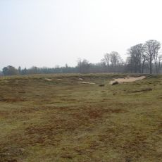
Shrub's Wood Long Barrow
4 km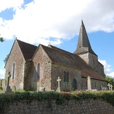
Church of St Mary
5 km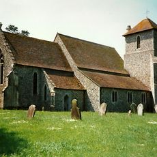
Church of St Mary
2.6 km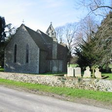
Church of St Peter
2.8 km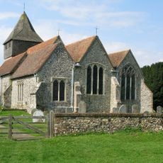
Church of St James
3.6 km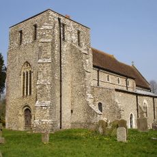
Church of St Mary
562 m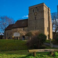
Church of St Mary
4 km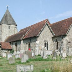
Church of St John the Baptist
5.2 km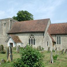
Church of St Mary
3.4 km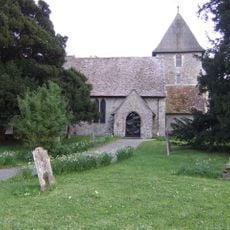
Church of St Mary, Sellindge
3.4 km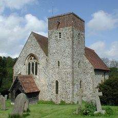
Church of St Mary
2.7 km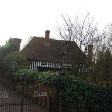
Kite Manor
2.6 km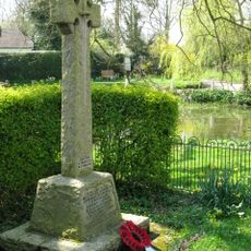
Elmstead and Hastingleigh War Memorial
3.1 km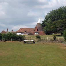
Lodge House
2.6 km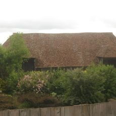
Barn About 30 Metres North West Of Mersham Manor
5.3 km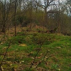
Oval barrow in Shrub's Wood
4 km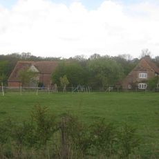
Barn about 20 metres west
3.4 km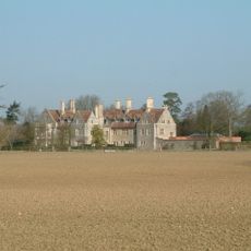
Monks Horton Priory
2.7 km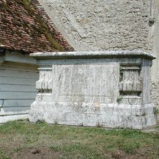
Chest Tomb To Thomas Wyborn, About 2 Metres South Of Church Of St Mary
3.4 km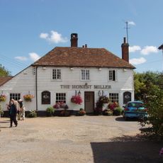
The Honest Miller
4 km
Bitford
2.2 km
Smeeds Farm
2.8 km
Mersham Le Hatch
4.1 km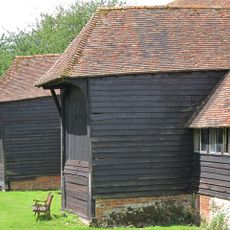
Barn With Sheds About 50 Metres West Of Court Lodge
4 km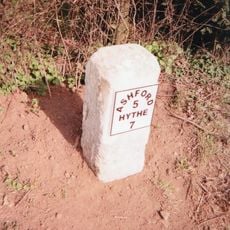
Milestone, Hythe Road, 40m E of Smeeth Crossroads
3.6 km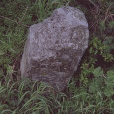
Milestone, Hythe Road, W of old filling station, beneath power lines
3.4 km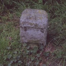
Milestone, Main Road, E of Moorstock Lane
3.6 kmAvis
Vous avez visité ce lieu ? Touchez les étoiles pour le noter et partager votre expérience ou vos photos avec la communauté ! Essayez maintenant ! Vous pouvez annuler à tout moment.
Trouvez des trésors cachés à chaque coin de rue !
Des petits cafés pittoresques aux points de vue planqués, fuyez la foule et dénichez les lieux qui vous ressemblent vraiment. Notre app vous facilite la vie : recherche vocale, filtres malins, itinéraires optimisés et bons plans partagés par des voyageurs du monde entier. Téléchargez vite pour vivre l'aventure en version mobile !

Une approche inédite de la découverte touristique❞
— Le Figaro
Tous les lieux qui valent la peine d'être explorés❞
— France Info
Une excursion sur mesure en quelques clics❞
— 20 Minutes