
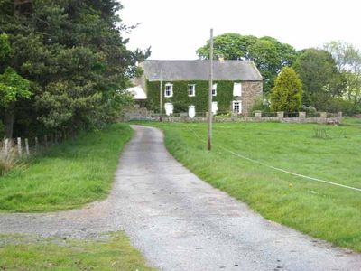
Castle Hill Farmhouse, farmhouse in Wolsingham, County Durham, UK
Emplacement : Wolsingham
Coordonnées GPS : 54.74538,-1.86126
Dernière mise à jour : 3 mars 2025 à 03:33
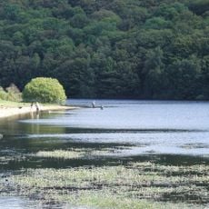
Backstone Bank and Baal Hill Woods
2.8 km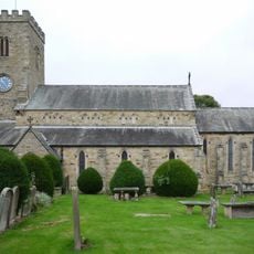
Church of St Mary and St Stephen
2.3 km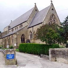
Church of St Thomas of Canterbury
2.1 km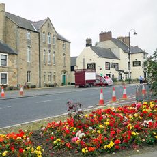
Former Primitive Methodist Chapel
2.2 km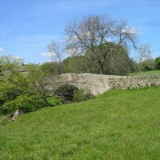
Bradley Burn Bridge
3.1 km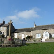
Thornley War Memorial
2.9 km
Black Bull Public House
2.2 km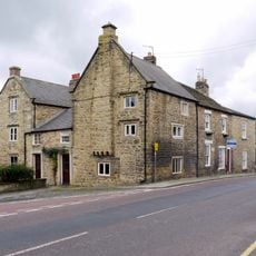
Old Bank House
2.4 km
Bishop Oak
2.4 km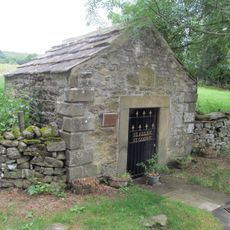
Holy Well West Of Holywell Farmhouse
1.7 km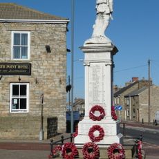
War Memorial
3 km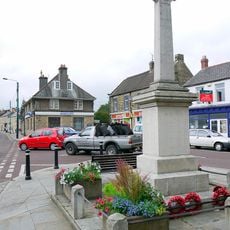
Wolsingham War Memorial
2.2 km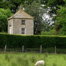
Gazebo/dovecote in garden of Bishop Oak
2.4 km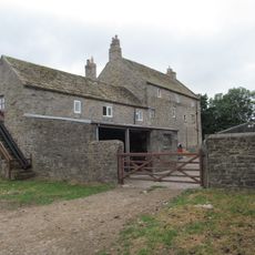
Baal Hill House Farmhouse
1.6 km
Bombay House
2.4 km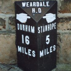
Milestone In Front Of Number 12
2.4 km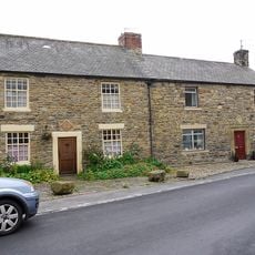
8, Meadhope Street
2.1 km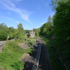
Former Railway Station
2.6 km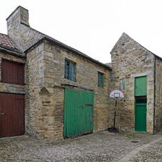
Former Chapel And Buildings Adjoining
2.4 km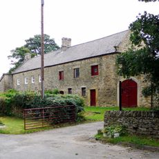
Holywell Farmhouse, Byre And Carthouse
1.7 km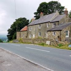
Little Redgate Farmhouse
1.1 km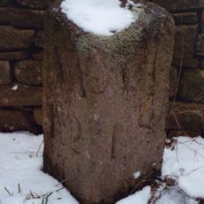
Milestone Circa 110 Metres South Of Greenfield Cottages
2.2 km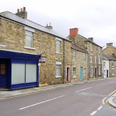
Rivendell
2 km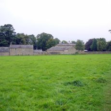
Demesne Hall
2.2 km
Gate Piers, Gates And Retaining Walls To Church Of St Mary And St Stephen
2.3 km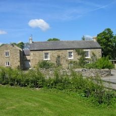
Bradley Burn Farmhouse
3.1 km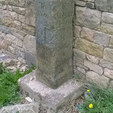
Milestone, Redgate, N end of stone cottage wall
1.1 km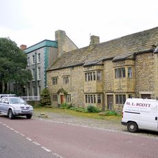
Whitfield House
2.4 kmVous avez visité ce lieu ? Touchez les étoiles pour le noter et partager votre expérience ou vos photos avec la communauté ! Essayez maintenant ! Vous pouvez annuler à tout moment.
Trouvez des trésors cachés à chaque coin de rue !
Des petits cafés pittoresques aux points de vue planqués, fuyez la foule et dénichez les lieux qui vous ressemblent vraiment. Notre app vous facilite la vie : recherche vocale, filtres malins, itinéraires optimisés et bons plans partagés par des voyageurs du monde entier. Téléchargez vite pour vivre l'aventure en version mobile !

Une approche inédite de la découverte touristique❞
— Le Figaro
Tous les lieux qui valent la peine d'être explorés❞
— France Info
Une excursion sur mesure en quelques clics❞
— 20 Minutes