
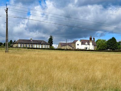
Former Schools, school buildings in Helmington Row, County Durham, England, UK
Emplacement : County Durham
Coordonnées GPS : 54.70999,-1.72307
Dernière mise à jour : 3 mars 2025 à 03:47
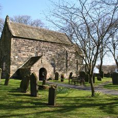
Escomb Church
5 km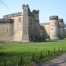
Château de Brancepeth
5.2 km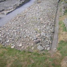
Binchester Roman Fort
4.8 km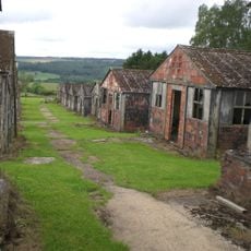
Harperley POW Camp 93
5.2 km
Witton-le-Wear
4.2 km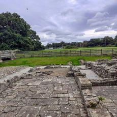
Binchester Roman Fort Visitor Centre
4.8 km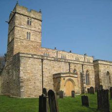
Church of St Brandon
5.3 km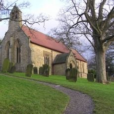
Church of St Philip and St James
4.9 km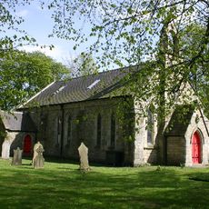
Church of St.Peter
4.8 km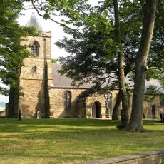
Church of St Stephen
3 km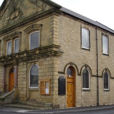
Central Methodist Church
1.4 km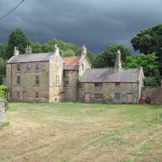
Helmington Hall
1.8 km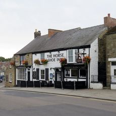
The Horse Shoe Inn
1.4 km
Post Office
4.8 km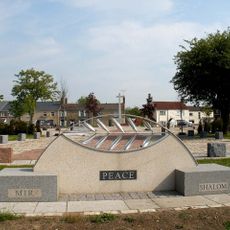
Willington, Oakenshaw, and Page Bank War Memorial Cross
2.5 km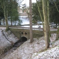
Bridge C.300 Metres South-East Of Witton Castle
5.3 km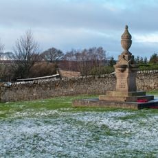
Fir Tree War Memorial Drinking Fountain
4 km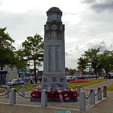
War Memorial, Piers and Chain
1.5 km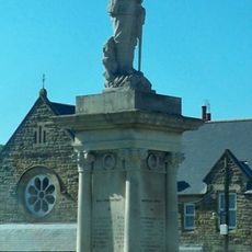
Billy Row War Memorial
2.9 km
Finger Post Approximately 90 Metres East Of Newfield Farmhouse
3 km
Hunwick Hall North West and North East Ranges
2.8 km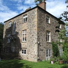
The Hall With Outbuilding, And Piers And Wall Attached
4.4 km
Hunwick Hall Farmhouse
2.8 km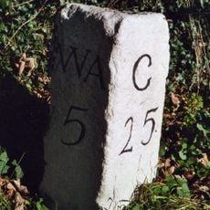
Milestone North Of Witton Le Wear
4.9 km
Witton-le-Wear
5.2 km
Fir Tree
4.1 km
Harperley Hall
4.5 km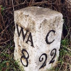
Helme Park, Fir Tree
5.2 kmVous avez visité ce lieu ? Touchez les étoiles pour le noter et partager votre expérience ou vos photos avec la communauté ! Essayez maintenant ! Vous pouvez annuler à tout moment.
Trouvez des trésors cachés à chaque coin de rue !
Des petits cafés pittoresques aux points de vue planqués, fuyez la foule et dénichez les lieux qui vous ressemblent vraiment. Notre app vous facilite la vie : recherche vocale, filtres malins, itinéraires optimisés et bons plans partagés par des voyageurs du monde entier. Téléchargez vite pour vivre l'aventure en version mobile !

Une approche inédite de la découverte touristique❞
— Le Figaro
Tous les lieux qui valent la peine d'être explorés❞
— France Info
Une excursion sur mesure en quelques clics❞
— 20 Minutes