
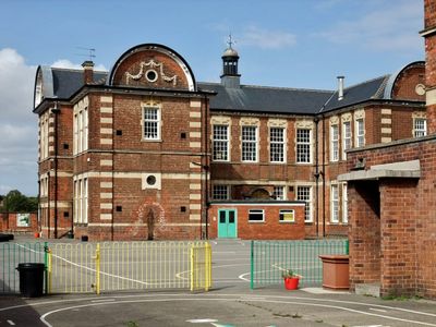
Sidmouth Street School West Block, architectural structure in City of Kingston upon Hull, East Riding of Yorkshire, UK
Emplacement : City of Kingston upon Hull
Coordonnées GPS : 53.76640,-0.36257
Dernière mise à jour : 7 mars 2025 à 05:12
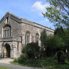
Church of St John Newland
710 m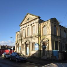
George Lamb Memorial Chapel
511 m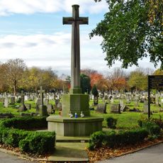
War Memorial Cross 20 Metres North West of Cemetery Chapel
864 m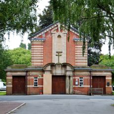
Chapel At Northern Cemetery
839 m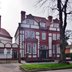
107, Park Avenue
996 m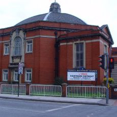
Trinity Methodist Church
330 m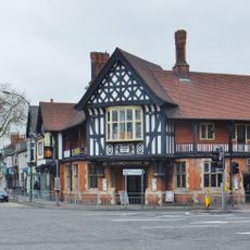
Haworth Arms Public House
620 m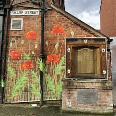
War Memorial Street Shrine, Sharp Street
433 m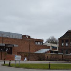
Middleton Hall and Larkin Building
536 m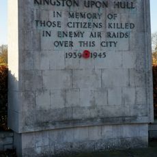
Citizens War Memorial 75 Metres South West Of Chapel At Northern Cemetery
865 m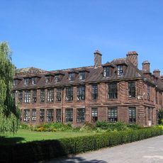
Venn Building
556 m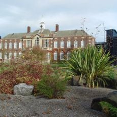
Derwent Building
655 m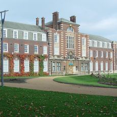
Esk Building and Nidd Building
685 m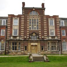
Wharfe Building
602 m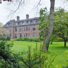
Cohen Building
457 m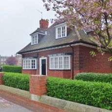
Rye House, University Of Hull
567 m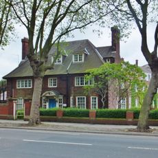
Swale House
665 m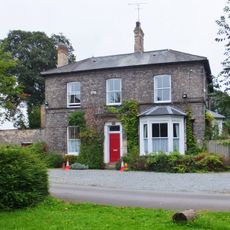
St John's Vicarage
744 m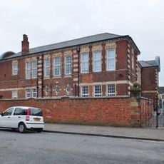
Sidmouth Street School Northern Boundary Wall
31 m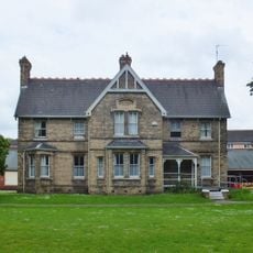
Newland Homes St Andrews House
473 m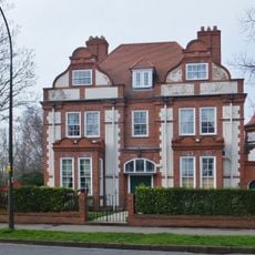
7, Salisbury Street
1 km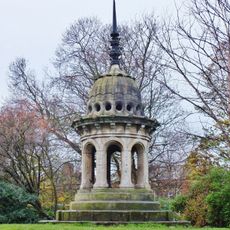
Cupola From Old Town Hall On West Side Of Park
988 m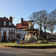
Fountain At The Junction With Salisbury Street
960 m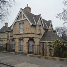
Newland Homes East Lodge
422 m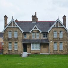
Newland Homes Dr Lee House
489 m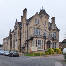
Rockliffe House
687 m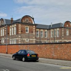
Sidmouth Street School Southern Bounday Wall
30 m
Milestone, In the wall of the Haworth Arms pub
622 mAvis
Vous avez visité ce lieu ? Touchez les étoiles pour le noter et partager votre expérience ou vos photos avec la communauté ! Essayez maintenant ! Vous pouvez annuler à tout moment.
Trouvez des trésors cachés à chaque coin de rue !
Des petits cafés pittoresques aux points de vue planqués, fuyez la foule et dénichez les lieux qui vous ressemblent vraiment. Notre app vous facilite la vie : recherche vocale, filtres malins, itinéraires optimisés et bons plans partagés par des voyageurs du monde entier. Téléchargez vite pour vivre l'aventure en version mobile !

Une approche inédite de la découverte touristique❞
— Le Figaro
Tous les lieux qui valent la peine d'être explorés❞
— France Info
Une excursion sur mesure en quelques clics❞
— 20 Minutes