
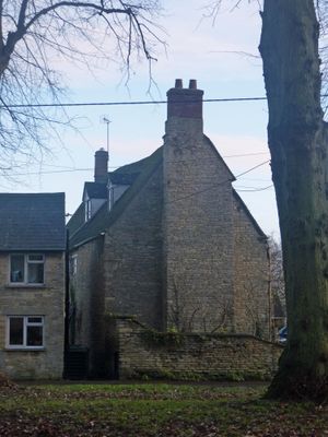
Village Farmhouse, Grade II listed farmhouse in Bletchingdon, Cherwell, Oxfordshire, UK
Emplacement : Bletchingdon
Coordonnées GPS : 51.85511,-1.27089
Dernière mise à jour : 4 mars 2025 à 21:55
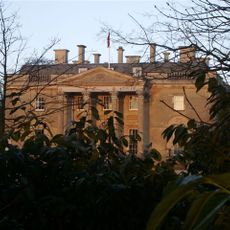
Bletchingdon Park
450 m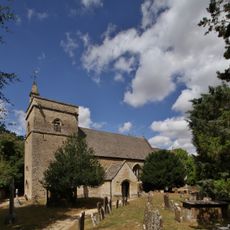
Church of St Giles, Bletchingdon
535 m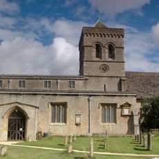
Church of St Mary, Kirtlington
1.9 km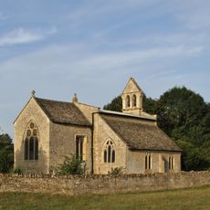
Church of St Mary
2.2 km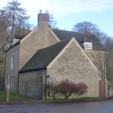
Park Gate House
259 m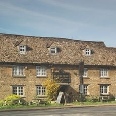
The Blacks Head Public House
130 m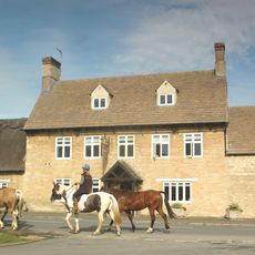
The Dashwood Arms Public House
2.1 km
Shipton Lift Bridge (219) Sp 4850 1675, Oxford Canal
2 km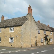
Old Red Lion
69 m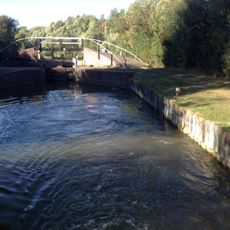
Bridge At Shipton Weir Lock, Oxford Canal
1.7 km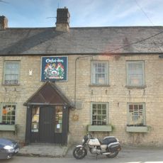
The Oxford Arms Public House And Adjoining Cottage
1.9 km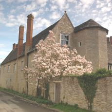
The Manor House And Attached Outbuilding Range
2 km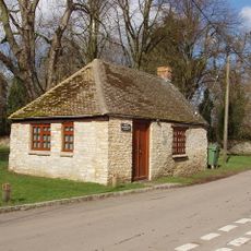
Squirrel's Drey
39 m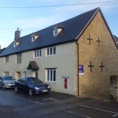
The Post Office Stores
44 m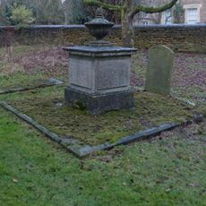
Chest tomb approximately 6 metres east of chancel of Church of St Giles
560 m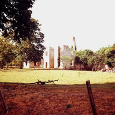
Ruins of Manor House
2 km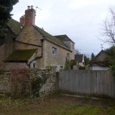
The Old Manor House
2.1 km
The Row
94 m
Poyle Court
2.1 km
Glendale
141 m
Monk's Head
91 m
Manor Farmhouse
1.8 km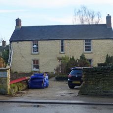
The Malt House
57 m
Model Farmhouse
2 km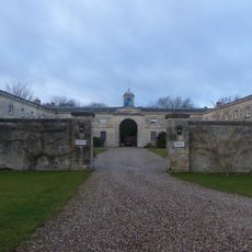
Bletchingdon Park, stables and attached walls approximately 150 metres east north east of Bletchingdon Park
593 m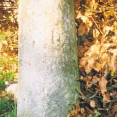
Milestone, Church Road; end of drive to Church Road House
558 m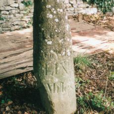
Milestone, by Church, on lane by Bletchingdon Park, in front of wall around church
505 m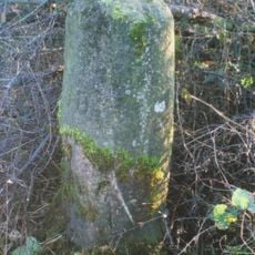
Milestone, Islip Road; between Diamond Farm and Bletchingdon
667 mVous avez visité ce lieu ? Touchez les étoiles pour le noter et partager votre expérience ou vos photos avec la communauté ! Essayez maintenant ! Vous pouvez annuler à tout moment.
Trouvez des trésors cachés à chaque coin de rue !
Des petits cafés pittoresques aux points de vue planqués, fuyez la foule et dénichez les lieux qui vous ressemblent vraiment. Notre app vous facilite la vie : recherche vocale, filtres malins, itinéraires optimisés et bons plans partagés par des voyageurs du monde entier. Téléchargez vite pour vivre l'aventure en version mobile !

Une approche inédite de la découverte touristique❞
— Le Figaro
Tous les lieux qui valent la peine d'être explorés❞
— France Info
Une excursion sur mesure en quelques clics❞
— 20 Minutes