
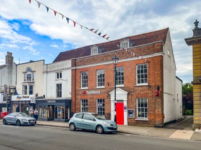
36 And 37, High Street, building in Lymington and Pennington, New Forest, Hampshire, UK
Emplacement : Lymington and Pennington
Coordonnées GPS : 50.75832,-1.54128
Dernière mise à jour : 9 mars 2025 à 09:21
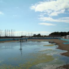
Lymington Open Air Sea Water Baths
1.1 km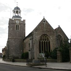
Church of St. Thomas the Apostle
280 m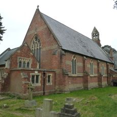
Church of St Mark
1.6 km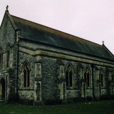
Church of All Saints
950 m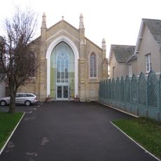
United Reform Church
86 m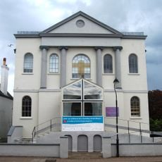
Baptist Church
119 m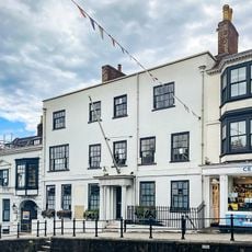
Standwell House Hotel Stanwell House Hotel
148 m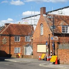
Lymington Community Centre
196 m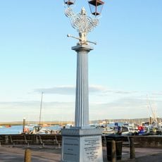
Burrard-Neale Memorial Gas Lamp
1 km
Walhampton Arms, formerly farm building range at Home Farm
1.2 km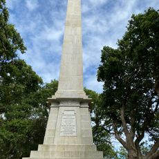
Burard-neale Monument
875 m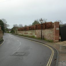
Garden wall to Elm Grove House
325 m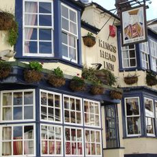
The King's Head Public House
244 m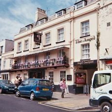
The Angel Hotel
60 m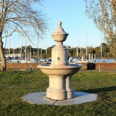
Drinking Fountain
894 m
Wood End
1.6 km
Walhampton House Walhampton School
1.4 km
Monmouth House (including The Former Office Of The Clerk To The Justices)
319 m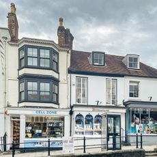
16-18, High Street
130 m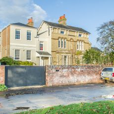
Hill House
672 m
Lloyds Bank
27 m
Quay Hill Surface
258 m
No 1, 3 And 5 And Cast Iron Bollard Against No 1 At Junction Of Gosport Street And Quay Hill
244 m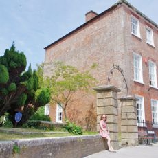
Ivy House No 63 And Area Railings Twynham House
249 m
No 6 And Band Of Stone Paving On West Sides
288 m
102 And 103, High Street
36 m
29, High Street
51 m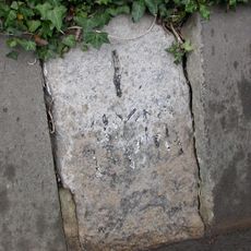
Milestone, Pennington
1.4 kmVous avez visité ce lieu ? Touchez les étoiles pour le noter et partager votre expérience ou vos photos avec la communauté ! Essayez maintenant ! Vous pouvez annuler à tout moment.
Trouvez des trésors cachés à chaque coin de rue !
Des petits cafés pittoresques aux points de vue planqués, fuyez la foule et dénichez les lieux qui vous ressemblent vraiment. Notre app vous facilite la vie : recherche vocale, filtres malins, itinéraires optimisés et bons plans partagés par des voyageurs du monde entier. Téléchargez vite pour vivre l'aventure en version mobile !

Une approche inédite de la découverte touristique❞
— Le Figaro
Tous les lieux qui valent la peine d'être explorés❞
— France Info
Une excursion sur mesure en quelques clics❞
— 20 Minutes