
Former Barn At Lower Farmhouse, barn in Wirral, Merseyside, UK
Emplacement : Wirral
Coordonnées GPS : 53.36437,-3.05239
Dernière mise à jour : 3 avril 2025 à 23:33
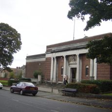
Williamson Art Gallery and Museum
2.2 km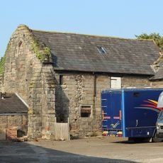
Storeton Hall
1.4 km
St Saviour's Church, Oxton
2 km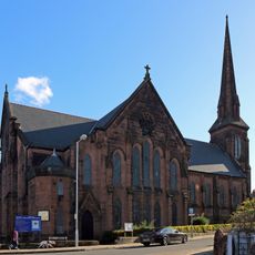
Christ Church, Birkenhead
2.2 km
Christ Church, Higher Bebington
1.9 km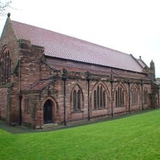
St Stephen's Church, Prenton
895 m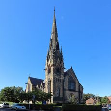
Trinity with Palm Grove Church, Claughton
2.4 km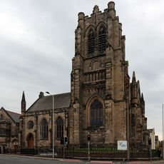
Wirral Christian Centre
2.5 km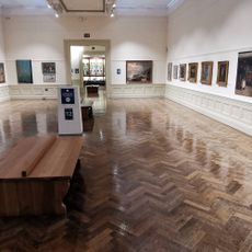
Williamson Art Gallery & Museum
2.4 km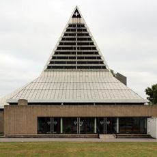
Roman Catholic Church of St Michael and All Angels
1.6 km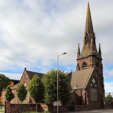
St Catherine's Church, Tranmere
2.5 km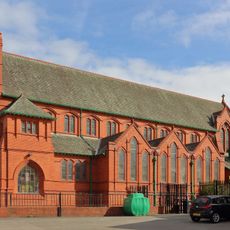
Roman Catholic Church of St Joseph
2.1 km
Roman Catholic Church of Holy Name of Jesus
2.3 km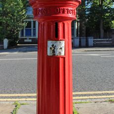
Pillar box on Balls Road, Oxton
2.4 km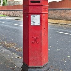
Post box at Alton Road, Oxton
2.2 km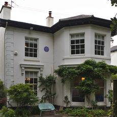
18 Village Road, Oxton
2.1 km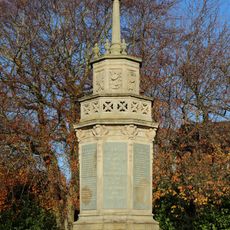
Prenton War Memorial
684 m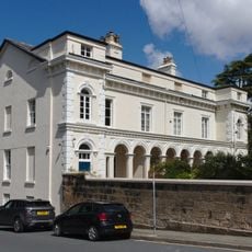
20 - 24 Village Road, Oxton
2 km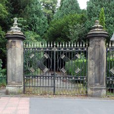
Entrance gateway to Arrowe Hall with flanking screen walls
2.5 km
Royal Oak, Higher Bebington
2 km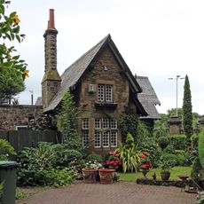
Lodge At Entrance Gateway To Arrowe Hall
2.5 km
14 16, Village Road
2.1 km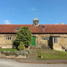
Bethlem and adjoining houses
1.5 km
Merchant Marine War Memorial
661 m
Prenton Hall (East)
102 m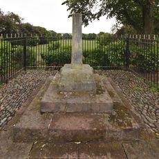
Tranmere Cross
2.2 km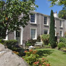
Willan Street Terrace, Oxton
2 km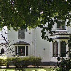
Holly Lodge
1.9 kmVous avez visité ce lieu ? Touchez les étoiles pour le noter et partager votre expérience ou vos photos avec la communauté ! Essayez maintenant ! Vous pouvez annuler à tout moment.
Trouvez des trésors cachés à chaque coin de rue !
Des petits cafés pittoresques aux points de vue planqués, fuyez la foule et dénichez les lieux qui vous ressemblent vraiment. Notre app vous facilite la vie : recherche vocale, filtres malins, itinéraires optimisés et bons plans partagés par des voyageurs du monde entier. Téléchargez vite pour vivre l'aventure en version mobile !

Une approche inédite de la découverte touristique❞
— Le Figaro
Tous les lieux qui valent la peine d'être explorés❞
— France Info
Une excursion sur mesure en quelques clics❞
— 20 Minutes