
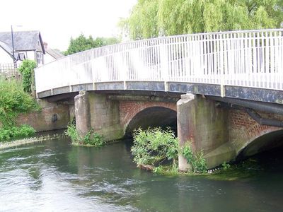
County Bridge, pont situé au Royaume-Uni
Emplacement : Downton
Coordonnées GPS : 50.99378,-1.74814
Dernière mise à jour : 7 mars 2025 à 19:51
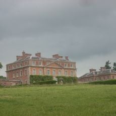
Trafalgar Park
2.3 km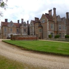
Breamore House
3.6 km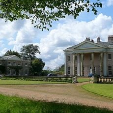
Hale Park
3.2 km
Clearbury Ring
3.7 km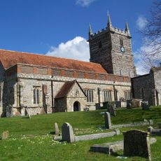
Church of St Laurence
341 m
Church of St Birinus
2.2 km
Standlynch Chapel
1.9 km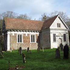
Church of St Mary
3 km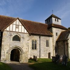
Church of St Mary
3.7 km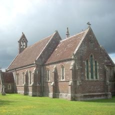
Church of Charlton All Saints
2.5 km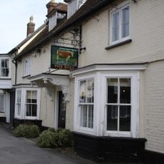
The Bull Hotel
696 m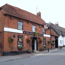
The Wooden Spoon
407 m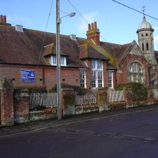
Downton Church Of England (Controlled) Primary School
353 m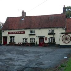
The Kings Head
2.4 km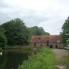
Standlynch Mill
2 km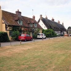
Well Cottage
645 m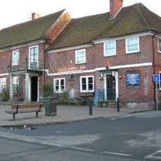
The White Horse Inn
302 m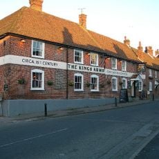
The Kings Arms
340 m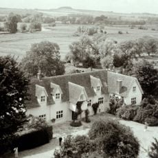
Manor House
307 m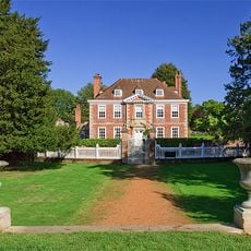
The Moot with attached kitchen
506 m
12 and 14, The Borough
661 m
Wick Farm Cottages
844 m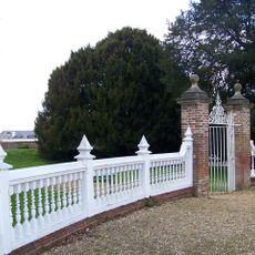
Gate And Gate Piers To Gardens Opposite The Moot
477 m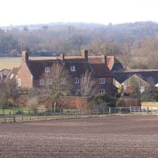
Witherington Farmhouse And Attached Cottage
3.2 km
Cymbeline
292 m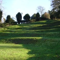
The Moot: a ringwork and bailey, earlier Roman settlement remains and later garden earthworks immediately east of the River Avon
413 m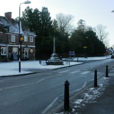
Village cross
325 m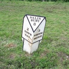
Milepost, Hulse Hall, opposite Blandford's Cottage
3.6 kmAvis
Vous avez visité ce lieu ? Touchez les étoiles pour le noter et partager votre expérience ou vos photos avec la communauté ! Essayez maintenant ! Vous pouvez annuler à tout moment.
Trouvez des trésors cachés à chaque coin de rue !
Des petits cafés pittoresques aux points de vue planqués, fuyez la foule et dénichez les lieux qui vous ressemblent vraiment. Notre app vous facilite la vie : recherche vocale, filtres malins, itinéraires optimisés et bons plans partagés par des voyageurs du monde entier. Téléchargez vite pour vivre l'aventure en version mobile !

Une approche inédite de la découverte touristique❞
— Le Figaro
Tous les lieux qui valent la peine d'être explorés❞
— France Info
Une excursion sur mesure en quelques clics❞
— 20 Minutes