
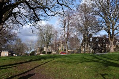
The Homestead, architectural structure in Charlbury, West Oxfordshire, Oxfordshire, UK
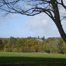
Emplacement : Charlbury
Coordonnées GPS : 51.87348,-1.48018
Dernière mise à jour : 3 mars 2025 à 01:04
Cornbury Park
1.6 km
Charlbury Museum
160 m
Bull Inn
165 m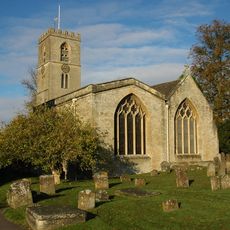
St Mary's Church, Charlbury
350 m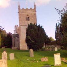
Church of All Saints, Spelsbury
2.2 km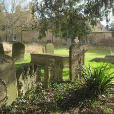
1, Park Street
336 m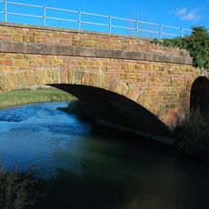
Railway Bridge At Sp 3719 1682
3 km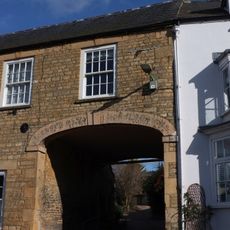
White Hart Public House
274 m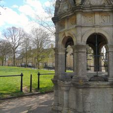
Charlbury Fountain
72 m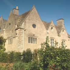
Finstock Manor House
2.9 km
Grandchester House
320 m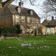
Egypt
34 m
The Old Rectory
406 m
Premises Occupied By The Good Food Shop And The Charlbury Clinic
152 m
Hone House
170 m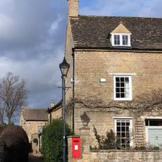
The Manor House
300 m
10 and 11, Market Street
183 m
Taston Cross
2.5 km
Quaker Meeting House
216 m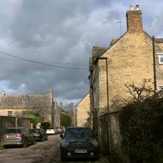
Queen's Own
359 m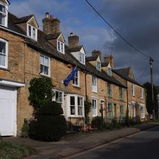
4-6, Dyers Hill
325 m
Iron Railings Surrounding The Playing Close
65 m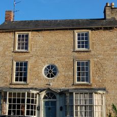
Gothic House
261 m
Milestone, Forest Road; Dyers Hill, half mile W of Charlbury Station
1.6 km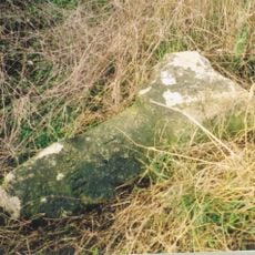
Milestone, Fawler Road; Cornbury Park, up hill from Finstock Station and 30m N of lay-by
1.6 km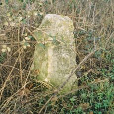
Milestone, Banbury Hill; opp entrance to Banbury Hill Farm
1.4 km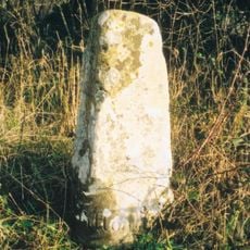
Milestone, Henley Knapp, Taston
3 km
Milestone, Charlbury Road; 100m N of jct at Manor House into village; opp new development of Manor Farm Business Park
2.8 kmVous avez visité ce lieu ? Touchez les étoiles pour le noter et partager votre expérience ou vos photos avec la communauté ! Essayez maintenant ! Vous pouvez annuler à tout moment.
Trouvez des trésors cachés à chaque coin de rue !
Des petits cafés pittoresques aux points de vue planqués, fuyez la foule et dénichez les lieux qui vous ressemblent vraiment. Notre app vous facilite la vie : recherche vocale, filtres malins, itinéraires optimisés et bons plans partagés par des voyageurs du monde entier. Téléchargez vite pour vivre l'aventure en version mobile !

Une approche inédite de la découverte touristique❞
— Le Figaro
Tous les lieux qui valent la peine d'être explorés❞
— France Info
Une excursion sur mesure en quelques clics❞
— 20 Minutes