
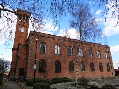
Former Church of St Thomas, church building in Manchester, Greater Manchester, UK
Emplacement : Manchester
Coordonnées GPS : 53.47241,-2.22466
Dernière mise à jour : 3 mars 2025 à 08:06
Manchester Piccadilly
621 m
Manchester Apollo
352 m
The Warehouse Project
661 m
London Road Fire Station, Manchester
689 m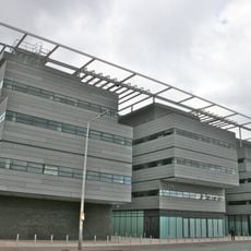
Alan Turing Building
665 m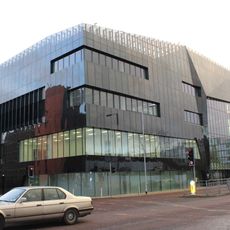
National Graphene Institute
711 m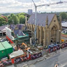
Upper Brook Street Chapel, Manchester
569 m
The Star and Garter
441 m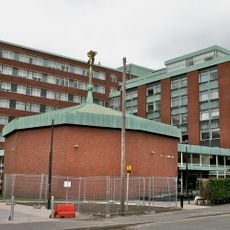
Schuster Laboratory
715 m
Ardwick Green
102 m
Former Nicholls Hospital including gymnasium, governor's house, stone setted and flagged forecourt, boundary walls and gates, stone gate piers on Ford Street and Devonshire Street, and two granite memorials in the forecourt
698 m
Renold Building
654 m
Maths and Social Sciences Building
475 m
Barnes Wallis Building
588 m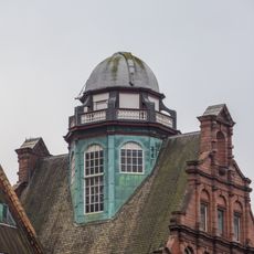
Godlee Observatory
672 m
Faraday Building
637 m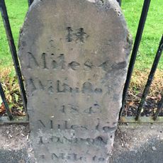
Milepost Beside Railings Of Ardwick Park
109 m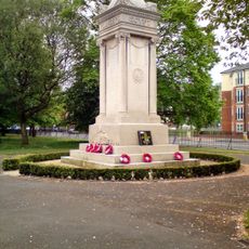
War Memorial
122 m
Morton Laboratory
499 m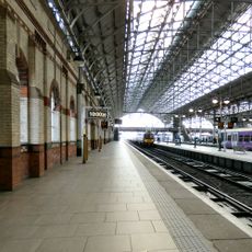
Train Shed At Piccadilly Station
617 m
Oddfellows Hall
680 m
94-98, Grosvenor Street
690 m
Crusader Works
707 m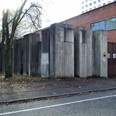
Sculptural Wall
550 m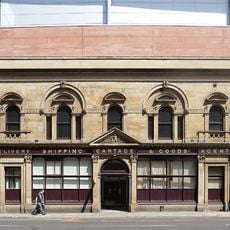
Former Goods Offices To Piccadilly Station
683 m
Railings Of Ardwick Green
164 m
Masdar Building
589 m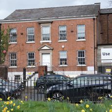
31, Ardwick Green North
50 mAvis
Vous avez visité ce lieu ? Touchez les étoiles pour le noter et partager votre expérience ou vos photos avec la communauté ! Essayez maintenant ! Vous pouvez annuler à tout moment.
Trouvez des trésors cachés à chaque coin de rue !
Des petits cafés pittoresques aux points de vue planqués, fuyez la foule et dénichez les lieux qui vous ressemblent vraiment. Notre app vous facilite la vie : recherche vocale, filtres malins, itinéraires optimisés et bons plans partagés par des voyageurs du monde entier. Téléchargez vite pour vivre l'aventure en version mobile !

Une approche inédite de la découverte touristique❞
— Le Figaro
Tous les lieux qui valent la peine d'être explorés❞
— France Info
Une excursion sur mesure en quelques clics❞
— 20 Minutes