
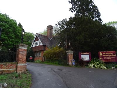
South Lodge to Grimsdyke, architectural structure in Harrow, Greater London, UK
Emplacement : London Borough of Harrow
Coordonnées GPS : 51.62087,-0.34948
Dernière mise à jour : 9 mars 2025 à 17:57
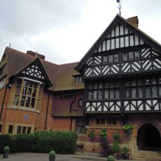
Grim's Dyke
320 m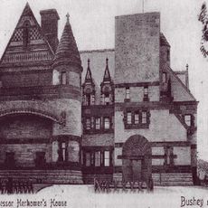
Lululaund
2.7 km
Bentley Priory Nature Reserve
1.4 km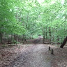
Harrow Weald Common
424 m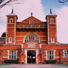
Harrow Arts Centre
1.7 km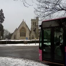
St John the Evangelist, Great Stanmore
2.4 km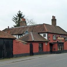
Seven Balls
1.8 km
Harrow Weald SSSI
427 m
Prestwick Road Meadows
2.7 km
St Anselm's Church
1.9 km
Church of St John
2.4 km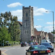
Church of St Peter
1.8 km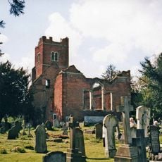
Old Stanmore Church
2.3 km
Church of All Saints
1.3 km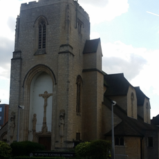
Church of St Joseph (Catholic)
2.5 km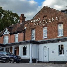
Abercorn Arms Public House
2.3 km
Bushey War Memorial
2.2 km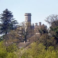
Rosary Priory High School
2.5 km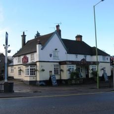
The Three Crowns Public House
1.8 km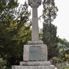
Stanmore War Memorial
2.4 km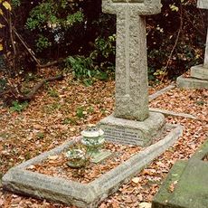
Grave Of Captain Leefe Robinson VC
1.5 km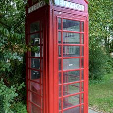
K6 Telephone Kiosk Outside The Abercorn Arms Public House
2.3 km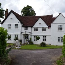
Letchford House
1.8 km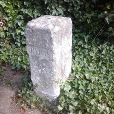
Boundary Stone About 70 Metres South West Of Number 180
1.5 km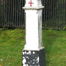
Coal Duty Boundary Post Outside Number 1 (The Hollies)
1.3 km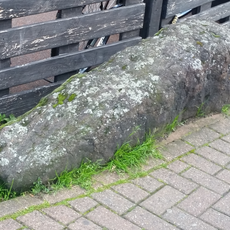
The Weald Stone Outside The Red Lion Public House
1.9 km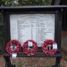
Harrow Weald War Memorial
1.8 km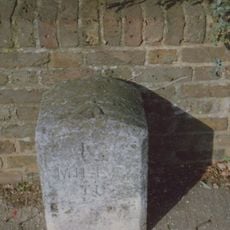
Milestone, E of A4008 jct
1.3 kmVous avez visité ce lieu ? Touchez les étoiles pour le noter et partager votre expérience ou vos photos avec la communauté ! Essayez maintenant ! Vous pouvez annuler à tout moment.
Trouvez des trésors cachés à chaque coin de rue !
Des petits cafés pittoresques aux points de vue planqués, fuyez la foule et dénichez les lieux qui vous ressemblent vraiment. Notre app vous facilite la vie : recherche vocale, filtres malins, itinéraires optimisés et bons plans partagés par des voyageurs du monde entier. Téléchargez vite pour vivre l'aventure en version mobile !

Une approche inédite de la découverte touristique❞
— Le Figaro
Tous les lieux qui valent la peine d'être explorés❞
— France Info
Une excursion sur mesure en quelques clics❞
— 20 Minutes