
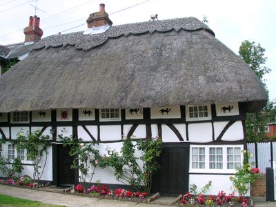
The Cat House, house in Henfield, Horsham, West Sussex, UK
Emplacement : Henfield
Création : 16e siècle
Coordonnées GPS : 50.93254,-0.27527
Dernière mise à jour : 3 mars 2025 à 22:18
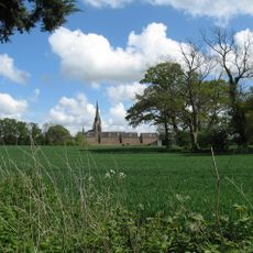
Chartreuse de Parkminster
4.5 km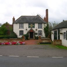
Fountain Inn
3.3 km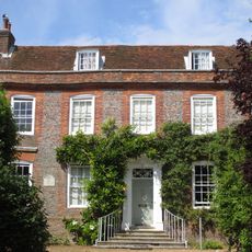
Chantry House, Steyning
6.1 km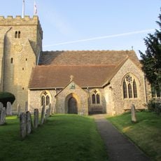
St Peter's Church
88 m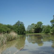
Woods Mill
2.5 km
St Michael and All Angels Church, Partridge Green
4 km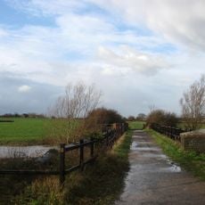
Betley Bridge
1.8 km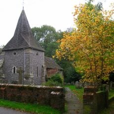
The Parish Church of St James, Ashurst
3.7 km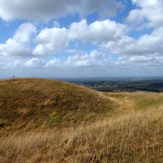
Edburton Castle Ring
5.8 km
The Parish Church of St Peter
5.5 km
The Parish Church of St Peter
5.5 km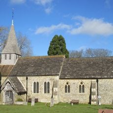
The Parish Church of St Peter
2.2 km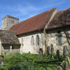
Church of St Andrew
5.1 km
The Parish Church of St Giles, Shermanbury
2.6 km
The Parish Church of St Bartholomew
4.4 km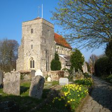
The Parish Church of St Andrew
5.9 km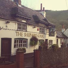
The Shepherd And Dog Public House
5.9 km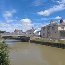
The Bridge Inn
6 km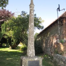
Upper Beeding War Memorial
5.5 km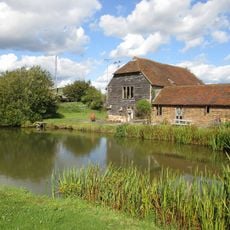
Sakeham Farmhouse
3.1 km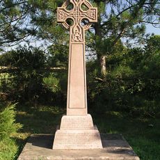
Twineham War Memorial
5.9 km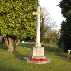
Partridge Green War Memorial
4 km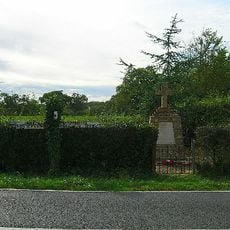
West Grinstead, Dial Post, Littleworth and Partridge Green War Memorial
5 km
Bowl barrow on Edburton Hill, 380m west of the motte and bailey castle
5.6 km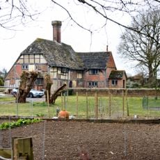
Slipe
5.8 km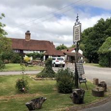
The Royal Oak Inn
4.9 km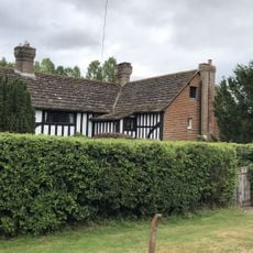
King's Barn
5.7 km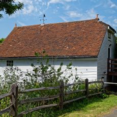
The Mill Building At Woods Mill
2.5 kmVous avez visité ce lieu ? Touchez les étoiles pour le noter et partager votre expérience ou vos photos avec la communauté ! Essayez maintenant ! Vous pouvez annuler à tout moment.
Trouvez des trésors cachés à chaque coin de rue !
Des petits cafés pittoresques aux points de vue planqués, fuyez la foule et dénichez les lieux qui vous ressemblent vraiment. Notre app vous facilite la vie : recherche vocale, filtres malins, itinéraires optimisés et bons plans partagés par des voyageurs du monde entier. Téléchargez vite pour vivre l'aventure en version mobile !

Une approche inédite de la découverte touristique❞
— Le Figaro
Tous les lieux qui valent la peine d'être explorés❞
— France Info
Une excursion sur mesure en quelques clics❞
— 20 Minutes