
High Canfold Farm House, farmhouse in Cranleigh, Waverley, Surrey, UK
Emplacement : Cranleigh
Coordonnées GPS : 51.15885,-0.46483
Dernière mise à jour : 10 mars 2025 à 01:51
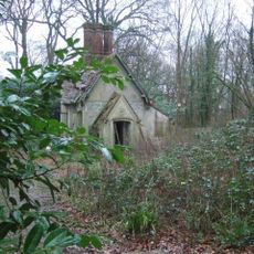
Lodge To Baynards Park
3.7 km
Winterfold House
870 m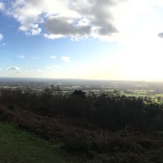
Holmbury Hill
3.6 km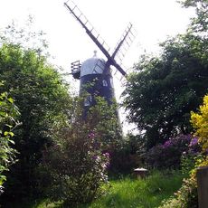
Hurt Wood Mill
1.6 km
Christ Church, Shamley Green
4.7 km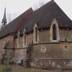
Church of St Andrew
5.2 km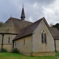
Church of St Mark
3.8 km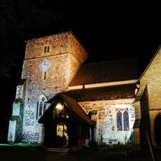
Church of St Nicholas
2.4 km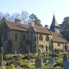
St Mary The Virgins Church
4.9 km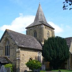
Church of St Peter and St Paul
1.8 km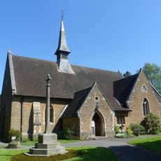
Christ Church
4.7 km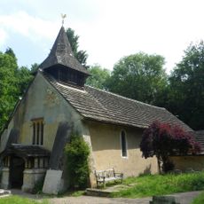
Church of St John the Baptist
6.1 km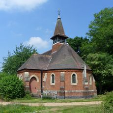
Holy Trinity
4.6 km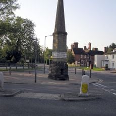
Milestone, High Street jct of Ewhurst Road & Horsham Road
2.5 km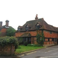
Cranleigh Village Hospital
2.6 km
Peaslake War Memorial
3.9 km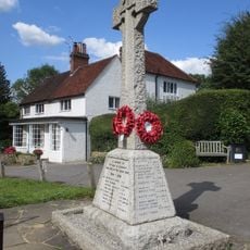
Ewhurst War Memorial
1.7 km
Wintershall
6.2 km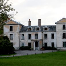
Leith Hill Place
6.1 km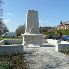
Cranleigh War Memorial
2.7 km
Stroud Lodge
3.5 km
Obelisk
2.5 km
Slythehurst Farm House
2.1 km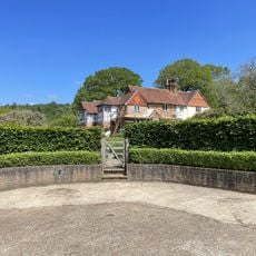
Lapscombe Cottage Lapscombe Farm House
2.1 km
Milestone And Cottage Adjoining
4.8 km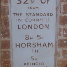
Milestone, Horsham Road, by Lorengau Cottage
5 km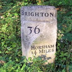
Milestone, Horsham Road, Grafham (Palmers Cross)
4.8 km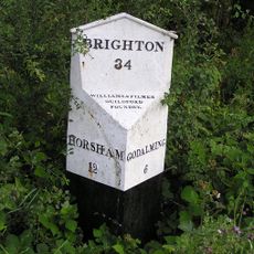
Milepost, Dunsfold Road, jct with Stovolds Hill, Pains Hill
5.8 kmAvis
Vous avez visité ce lieu ? Touchez les étoiles pour le noter et partager votre expérience ou vos photos avec la communauté ! Essayez maintenant ! Vous pouvez annuler à tout moment.
Trouvez des trésors cachés à chaque coin de rue !
Des petits cafés pittoresques aux points de vue planqués, fuyez la foule et dénichez les lieux qui vous ressemblent vraiment. Notre app vous facilite la vie : recherche vocale, filtres malins, itinéraires optimisés et bons plans partagés par des voyageurs du monde entier. Téléchargez vite pour vivre l'aventure en version mobile !

Une approche inédite de la découverte touristique❞
— Le Figaro
Tous les lieux qui valent la peine d'être explorés❞
— France Info
Une excursion sur mesure en quelques clics❞
— 20 Minutes