
Police Stables, stable in Newcastle upon Tyne, Tyne and Wear, UK
Emplacement : Newcastle upon Tyne
Coordonnées GPS : 54.99873,-1.60445
Dernière mise à jour : 25 mars 2025 à 03:02
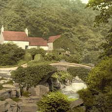
Jesmond Dene
296 m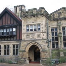
Jesmond Dene House
42 m
Banqueting House With Added Gatehouse And Other Extensions
920 m
Holy Name parish, Jesmond
234 m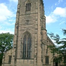
Church of All Saints
1.4 km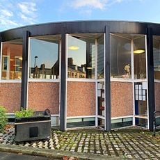
Jesmond Library
621 m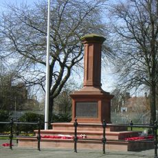
Gosforth Central Park
1.2 km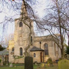
Church of St Nicholas
936 m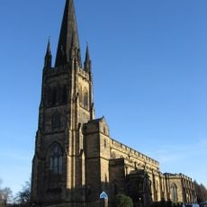
Church of the Holy Trinity
1.4 km
Jesmond Church Of St Hilda
748 m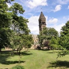
Church of St George
418 m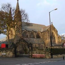
Roman Catholic Church of St Charles, Attached Presbytery and Boundary Wall to South and South West
1.3 km
Fleming Memorial Hospital
1.4 km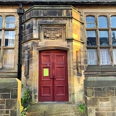
Sunday School Attached To Church Of St Hilda
751 m
St Mary's Chapel, Jesmond
859 m
The County Hotel
1.1 km
Armstrong Bridge
1.4 km
The Former Phillipson Memorial Orphanage At Princess Mary Maternity Hospital
1.3 km
Gosforth War Memorial Pillar
1.1 km
Town Moor Boundary Stone Opposite Number 73
504 m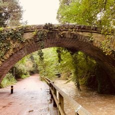
Footbridge North East Of Banqueting Hall
888 m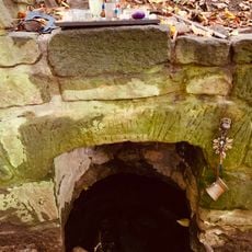
St Mary's Well
834 m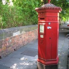
Pillar Box North Of Number 4
1.2 km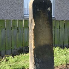
Main Dike Stone
1.1 km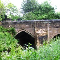
Salters' Bridge
1.3 km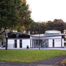
High Heaton Library
1.2 km
Jesmond Dene Mill
336 m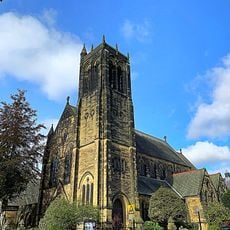
Jesmond United Reformed Church
1.4 kmAvis
Vous avez visité ce lieu ? Touchez les étoiles pour le noter et partager votre expérience ou vos photos avec la communauté ! Essayez maintenant ! Vous pouvez annuler à tout moment.
Trouvez des trésors cachés à chaque coin de rue !
Des petits cafés pittoresques aux points de vue planqués, fuyez la foule et dénichez les lieux qui vous ressemblent vraiment. Notre app vous facilite la vie : recherche vocale, filtres malins, itinéraires optimisés et bons plans partagés par des voyageurs du monde entier. Téléchargez vite pour vivre l'aventure en version mobile !

Une approche inédite de la découverte touristique❞
— Le Figaro
Tous les lieux qui valent la peine d'être explorés❞
— France Info
Une excursion sur mesure en quelques clics❞
— 20 Minutes