
Church of St Hilda, church in Ashford, Surrey, TW15
Emplacement : Spelthorne
Site web : http://sthilda.org
Coordonnées GPS : 51.43440,-0.47237
Dernière mise à jour : 14 mars 2025 à 04:42

Thames Water Ring Main
2.9 km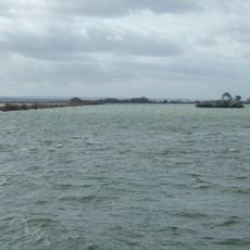
Queen Mary Reservoir
1.6 km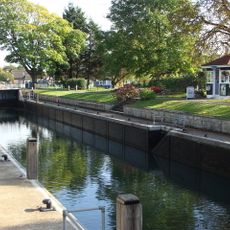
Penton Hook Lock
2.9 km
Church of St Mary
2.5 km
Staines Railway Bridge
2.7 km
Staines Town Hall
2.9 km
Roman Catholic Church of St Michael, Including Boundary Wall and Entrance Screen
705 m
Ashford War Memorial
741 m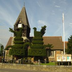
Church of St Mary
3 km
Church of St Peter
2.6 km
Parish Church of St Matthew
949 m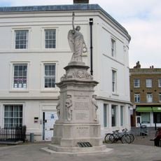
Staines War Memorial
2.9 km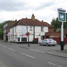
The Swan Public House
2.6 km
The Blue Anchor Public House
2.9 km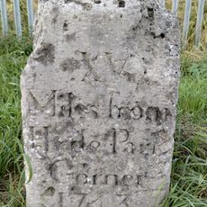
Milestone
935 m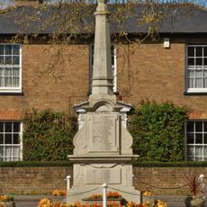
Stanwell War Memorial
2.6 km
44, 46 And 48, High Street
2.7 km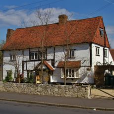
Perry Green
2.7 km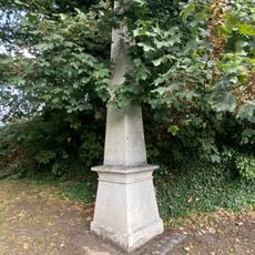
Obelisk To North Of Railway Bridge
2.7 km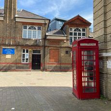
2 K6 Telephone Kiosks In Front Of Town Hall
2.9 km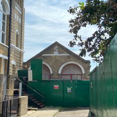
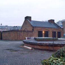
Fire Engine Shed
2.9 km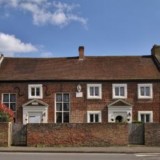
Lord Knyvett's Free School
2.7 km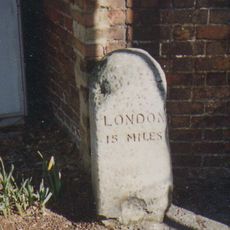
Milestone
2.6 km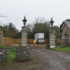
Gates Piers And Gates To Stanwell Place
2.8 km
2, Clarence Street
2.9 km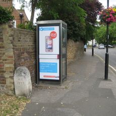
Milestone, High Street, opp. The Swan PH, W of jct with Oaks Road
2.6 km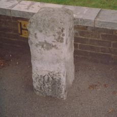
Milestone, Kingston Road, 6m W of Warwick Avenue
1.3 km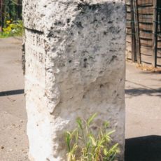
Milestone, Staines Road; Bedfont, by No. 778, 50m E of Ashford boundary
1.8 kmVous avez visité ce lieu ? Touchez les étoiles pour le noter et partager votre expérience ou vos photos avec la communauté ! Essayez maintenant ! Vous pouvez annuler à tout moment.
Trouvez des trésors cachés à chaque coin de rue !
Des petits cafés pittoresques aux points de vue planqués, fuyez la foule et dénichez les lieux qui vous ressemblent vraiment. Notre app vous facilite la vie : recherche vocale, filtres malins, itinéraires optimisés et bons plans partagés par des voyageurs du monde entier. Téléchargez vite pour vivre l'aventure en version mobile !

Une approche inédite de la découverte touristique❞
— Le Figaro
Tous les lieux qui valent la peine d'être explorés❞
— France Info
Une excursion sur mesure en quelques clics❞
— 20 Minutes