
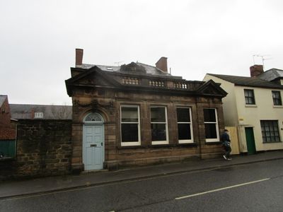
Savings Bank, bank building in Belper, Amber Valley, Derbyshire, UK
Emplacement : Belper
Coordonnées GPS : 53.02657,-1.48523
Dernière mise à jour : 13 mars 2025 à 16:30
Usines de la vallée de la Derwent
326 m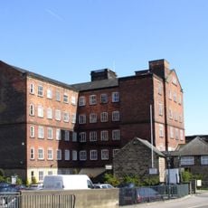
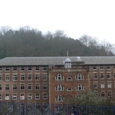
Belper North Mill
213 m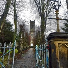
Parish Church of St Peter
480 m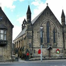
Christ Church
109 m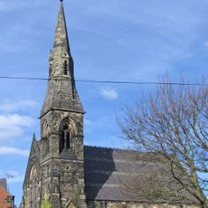
Congregational Church
367 m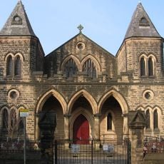
Belper Baptist Church
115 m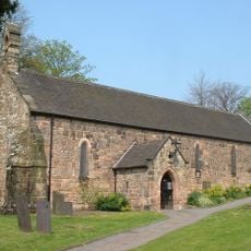
Church of St John the Baptist
683 m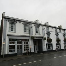
The Lion Hotel
254 m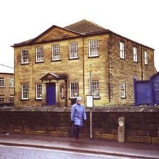
Central Methodist Church
496 m
The Nag's Head Public House
588 m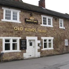
The Old King's Head Public House
609 m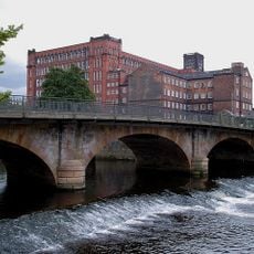
Belper Bridge
338 m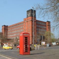
K6 Telephone Kiosk
134 m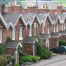
11-21, Cheapside
592 m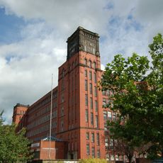
East Mill
261 m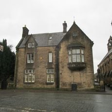
Christchurch Vicarage
90 m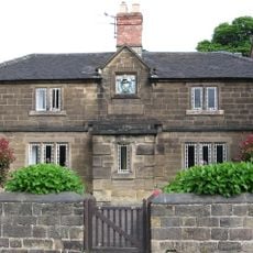
Almshouses
686 m
The Duke Of Devonshire Inn
129 m
The Fountain
571 m
25-36, Long Row
214 m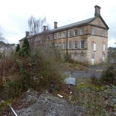
Warehouse Now Occupied By Dalton And Company Limited Silkolene Lubricants
693 m
41-47, Bridge Street
260 m
4-13, Crown Terrace
73 m
11-17, Bridge Street
365 m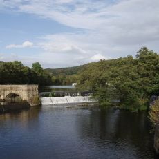
Belper River Weirs, Retaining Walls And Sluices To Belper River Weirs
358 m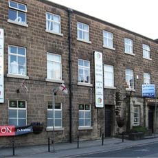
Mills Occupied By George Brettle And Company Limited (that Part Along The Chapel Street Frontage, Bounded On The North By The 18
520 m
134, Bridge Street
69 m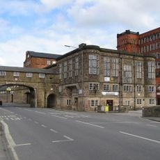
Road Archway And Footbridge (includes Offices Forming South Part Of Block In East Side Of Archway)
231 mVous avez visité ce lieu ? Touchez les étoiles pour le noter et partager votre expérience ou vos photos avec la communauté ! Essayez maintenant ! Vous pouvez annuler à tout moment.
Trouvez des trésors cachés à chaque coin de rue !
Des petits cafés pittoresques aux points de vue planqués, fuyez la foule et dénichez les lieux qui vous ressemblent vraiment. Notre app vous facilite la vie : recherche vocale, filtres malins, itinéraires optimisés et bons plans partagés par des voyageurs du monde entier. Téléchargez vite pour vivre l'aventure en version mobile !

Une approche inédite de la découverte touristique❞
— Le Figaro
Tous les lieux qui valent la peine d'être explorés❞
— France Info
Une excursion sur mesure en quelques clics❞
— 20 Minutes