
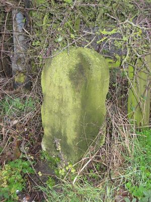
Stone At Junction With Woodhouse Lane, architectural structure in Sunderland, Tyne and Wear, UK
Emplacement : Sunderland
Coordonnées GPS : 54.88744,-1.48589
Dernière mise à jour : 22 avril 2025 à 06:29

Penshaw Monument
581 m
Château de Lumley
5.6 km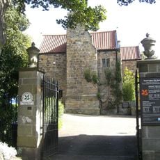
Washington Old Hall
2.6 km
Château de Hylton
4.8 km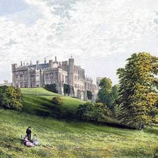
Château de Lambton
4 km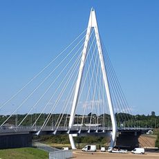
Northern Spire Bridge
5.1 km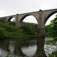
Victoria Viaduct
1.1 km
Biddick Hall
2.6 km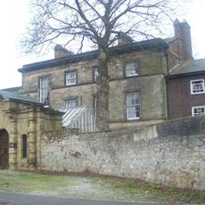
Doxford House
4.9 km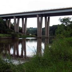
Hylton Viaduct
2.6 km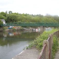
Cox Green footbridge
645 m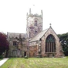
St Michael and All Angels Church, Houghton-le-Spring
5.1 km
Mercure Newcastle George Washington Hotel Golf and Spa
5 km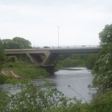
Chartershaugh Bridge
2.5 km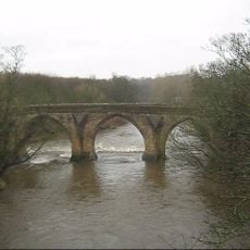
Chester New Bridge
5.3 km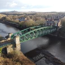
Penshaw Bridge
2 km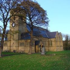
Church of St John the Evangelist
5.7 km
Church of St Matthew
3.4 km
Church of Holy Trinity
5 km
Church of St Gabriel
5.1 km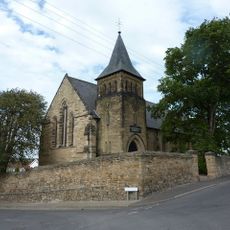
Church of St Mary
3.1 km
Church of Holy Trinity
2.6 km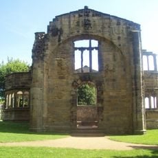
Hylton Chapel
4.8 km
Church of St Barnabas
4 km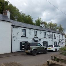
The Shipwrights Public House
2.9 km
Washington and Barmston War Memorial
2.7 km
Fatfield War Memorial
2.2 km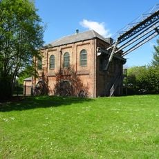
F Pit Winding House
3.8 kmAvis
Vous avez visité ce lieu ? Touchez les étoiles pour le noter et partager votre expérience ou vos photos avec la communauté ! Essayez maintenant ! Vous pouvez annuler à tout moment.
Trouvez des trésors cachés à chaque coin de rue !
Des petits cafés pittoresques aux points de vue planqués, fuyez la foule et dénichez les lieux qui vous ressemblent vraiment. Notre app vous facilite la vie : recherche vocale, filtres malins, itinéraires optimisés et bons plans partagés par des voyageurs du monde entier. Téléchargez vite pour vivre l'aventure en version mobile !

Une approche inédite de la découverte touristique❞
— Le Figaro
Tous les lieux qui valent la peine d'être explorés❞
— France Info
Une excursion sur mesure en quelques clics❞
— 20 Minutes