
Home Farm, agricultural structure in Ashford, Kent, UK
Emplacement : Kennington
Coordonnées GPS : 51.16871,0.89193
Dernière mise à jour : 17 avril 2025 à 04:25
Eastwell Park
2.5 km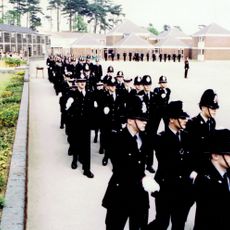
Ashford Police Training Centre
1.3 km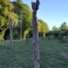
Ashford Green Corridor
1.9 km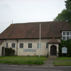
Saint Christopher's Church, Boughton Lees
2.1 km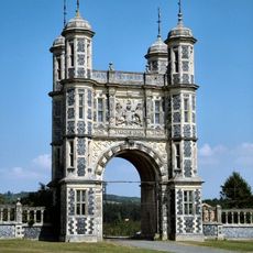
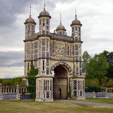
Tower Lodge And Flanking Walls, Eastwell Park
1.2 km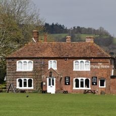
Flying Horse Inn
2.3 km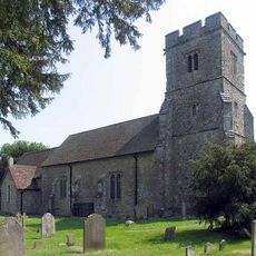
Church of St Mary
140 m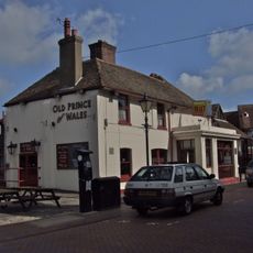
Old Prince Of Wales Public House
2.5 km
The Tank
2.5 km
Odeon Ashford
2.5 km
The Golden Ball Public House
796 m
83A, High Street
2.6 km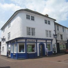
Castle Hotel
2.6 km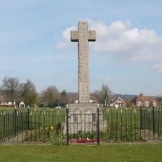
Boughton Aluph and Eastwell War Memorial
2.1 km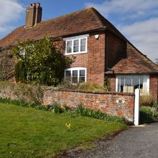
Old Post Office
2.3 km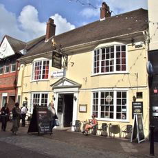
The George Hotel
2.5 km
Lees Cottage
2.1 km
Bridge House
2.4 km
Wall To South East Of No 11
2.4 km
Milestone, Hythe Road, by No. 120
2.5 km
Milestone, 12 Yards South Of The Old Gatehouse
1.9 km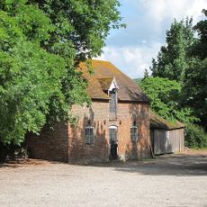
Stables 15 Yards North Of The Flying Horse Inn
2.3 km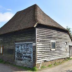
Barn 5 Yards East Of Kemps Corner House
2 km
Kenway
2.4 km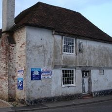
Laurel Tree House
115 m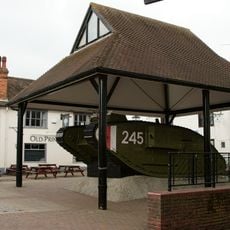
Tank Situated In Centre Of New Street
2.5 km
Nightingale House
2.5 km
22, North Street
2.4 kmAvis
Vous avez visité ce lieu ? Touchez les étoiles pour le noter et partager votre expérience ou vos photos avec la communauté ! Essayez maintenant ! Vous pouvez annuler à tout moment.
Trouvez des trésors cachés à chaque coin de rue !
Des petits cafés pittoresques aux points de vue planqués, fuyez la foule et dénichez les lieux qui vous ressemblent vraiment. Notre app vous facilite la vie : recherche vocale, filtres malins, itinéraires optimisés et bons plans partagés par des voyageurs du monde entier. Téléchargez vite pour vivre l'aventure en version mobile !

Une approche inédite de la découverte touristique❞
— Le Figaro
Tous les lieux qui valent la peine d'être explorés❞
— France Info
Une excursion sur mesure en quelques clics❞
— 20 Minutes