
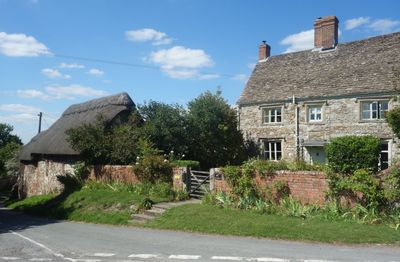
Trip The Daisy, architectural structure in Ashbury, Vale of White Horse, Oxfordshire, UK
Emplacement : Ashbury
Coordonnées GPS : 51.55671,-1.62934
Dernière mise à jour : 7 avril 2025 à 21:35
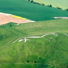
Cheval blanc d'Uffington
4.9 km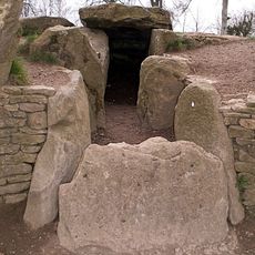
Wayland's Smithy
2.6 km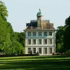
Ashdown House
3.2 km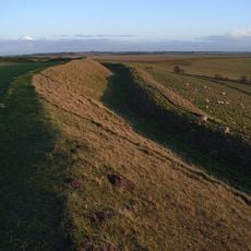
Uffington Castle
4.6 km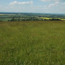
Berkshire Downs
4.6 km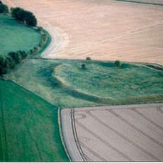
Alfred's Castle
2.8 km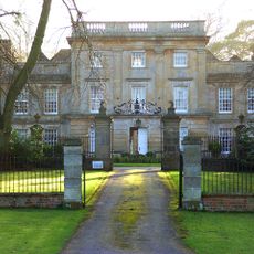
Compton Beauchamp House
3.4 km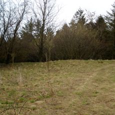
Hardwell Castle
3.8 km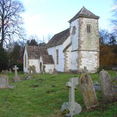
Church of St Swithun
3.4 km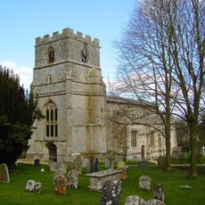
Parish Church of St Mary
1.5 km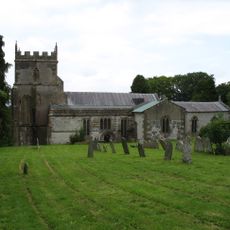
Church of St Mary
981 m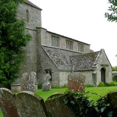
Church of St Swithin
2.8 km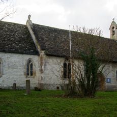
Church of All Saints
4.9 km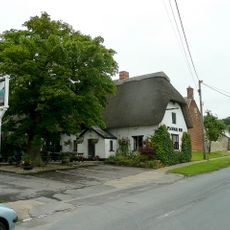
The Plough Inn
4.6 km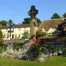
Ashbury War Memorial
1 km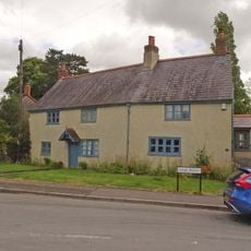
Knowle House
5 km
Cowleaze Farmhouse
3.9 km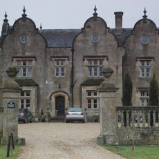
Bourton Grange
4.2 km
Hardwell Camp promontory fort
3.8 km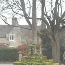
Bourton village cross
3.8 km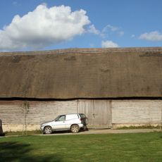
Knighton Farm, 2 Barns And Linking Range, Approximately 40 Metres North East
3.7 km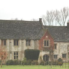
The Manor House
1.1 km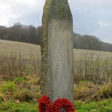
Compton Beauchamp War Memorial
3.5 km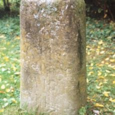
Milestone, Compton Beauchamp, opp. Post box
3.5 km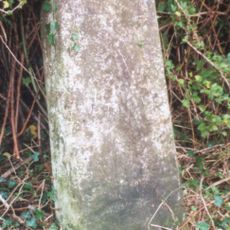
Milestone, Longcot Road; Home Farm, opp. second entrance to farm
4.6 km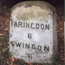
Milestone, Townsend Road; at entrance to Ryme's House
4.9 km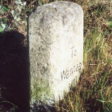
Milestone, Icknield Way; W of White Horse car park road
4.5 km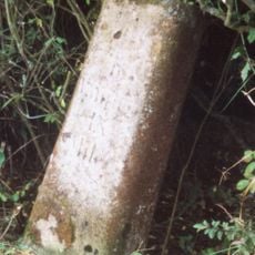
Milestone, Ruffinswick Farm, S of Railway
3.8 kmVous avez visité ce lieu ? Touchez les étoiles pour le noter et partager votre expérience ou vos photos avec la communauté ! Essayez maintenant ! Vous pouvez annuler à tout moment.
Trouvez des trésors cachés à chaque coin de rue !
Des petits cafés pittoresques aux points de vue planqués, fuyez la foule et dénichez les lieux qui vous ressemblent vraiment. Notre app vous facilite la vie : recherche vocale, filtres malins, itinéraires optimisés et bons plans partagés par des voyageurs du monde entier. Téléchargez vite pour vivre l'aventure en version mobile !

Une approche inédite de la découverte touristique❞
— Le Figaro
Tous les lieux qui valent la peine d'être explorés❞
— France Info
Une excursion sur mesure en quelques clics❞
— 20 Minutes