
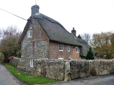
Orchard Farmhouse, farmhouse in East Kennett, Wiltshire, UK
Emplacement : East Kennett
Coordonnées GPS : 51.40562,-1.82909
Dernière mise à jour : 9 mars 2025 à 13:15
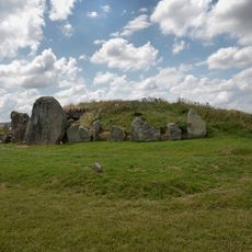
West Kennet Long Barrow
1.5 km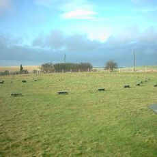
The Sanctuary
635 m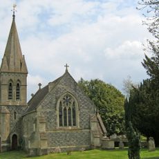
Christ Church
263 m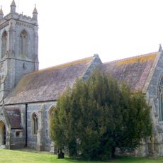
Church of St Michael
1.6 km
Group of six round barrows forming part of a Bronze Age cemetery 400m north-east of West Kennett Farm
1.3 km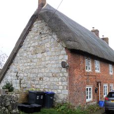
2, Church Lane
230 m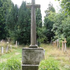
West Overton War Memorial
1.6 km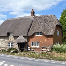
Jasmine Cottage
1.3 km
Church Cottage Overton Cottages
113 m
Yew Tree Cottage
1.2 km
Manor House
1.5 km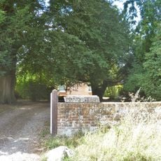
West Overton Farmhouse
1.1 km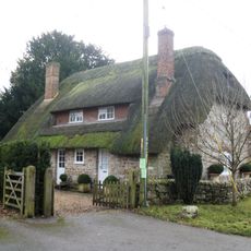
Old Thatch
194 m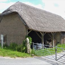
Cartshed At West Kennett Farm
1.2 km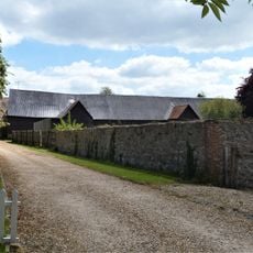
Barns Formerly With Manor Farm, East Kennett
170 m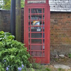
K6 Telephone Kiosk To West Of The Old Schoolhouse
176 m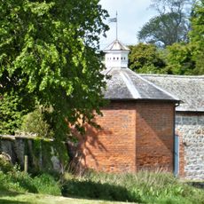
Dovecote At East Kennett Manor
195 m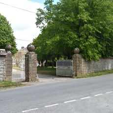
Stable Yard Walls And Gate Piers, East Kennett Manor
189 m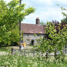
West Kennet Farmhouse
1.2 km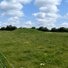
Bowl barrow east of the Ridgeway forming part of the Overton Hill Bronze Age round barrow cemetery.
1.1 km
West Kennett House
1.2 km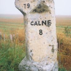
Milestone 400 Metres East Of The Ridgeway
769 m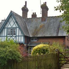
67 And 68
1.3 km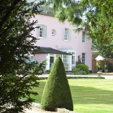
West Overton House
1.4 km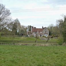
Manor Farm House
1.4 km
Bowl barrow 50m south of The Sanctuary on Overton Hill, forming part of the Seven Barrow Hill round barrow cemetery
541 m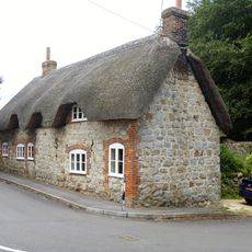
76 And 77
1.5 km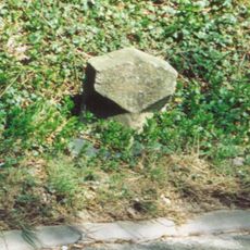
Milestone, cutting, E of W Kennet; 300m E of lay-by
1.6 kmVous avez visité ce lieu ? Touchez les étoiles pour le noter et partager votre expérience ou vos photos avec la communauté ! Essayez maintenant ! Vous pouvez annuler à tout moment.
Trouvez des trésors cachés à chaque coin de rue !
Des petits cafés pittoresques aux points de vue planqués, fuyez la foule et dénichez les lieux qui vous ressemblent vraiment. Notre app vous facilite la vie : recherche vocale, filtres malins, itinéraires optimisés et bons plans partagés par des voyageurs du monde entier. Téléchargez vite pour vivre l'aventure en version mobile !

Une approche inédite de la découverte touristique❞
— Le Figaro
Tous les lieux qui valent la peine d'être explorés❞
— France Info
Une excursion sur mesure en quelques clics❞
— 20 Minutes