
Former Primary School, school building in Highworth, Swindon, Wiltshire, UK
Emplacement : Highworth
Coordonnées GPS : 51.62829,-1.71143
Dernière mise à jour : 11 mars 2025 à 20:16

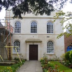
United Reformed Church
222 m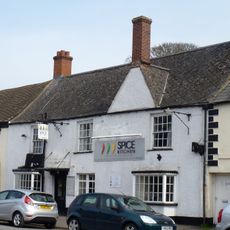
The Fishes Inn
155 m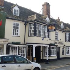
The King And Queen Inn
253 m
23, High Street
235 m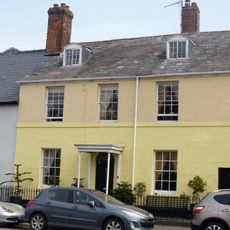
Burford House
201 m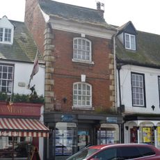
17, High Street
247 m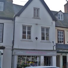
19, 19A And 20, High Street
244 m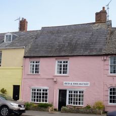
No 6 (Left Hand Block)
190 m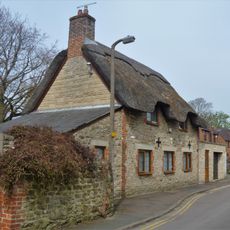
No 8 (In Blandford Alley)
128 m
21, High Street
243 m
Stonecroft
208 m
2, Westrop
255 m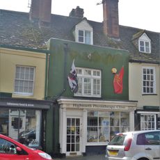
13, High Street
256 m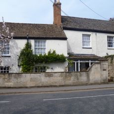
24, Cricklade Road
244 m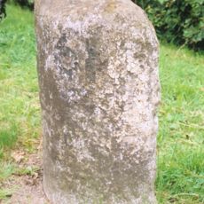
Milestone Opposite No 10
191 m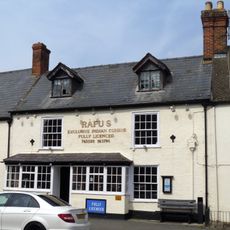
30, High Street
266 m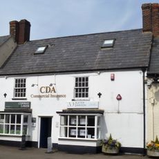
28, High Street
265 m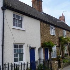
30 And 31, Swindon Street
168 m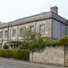
Westrop House And West Service Extension To Westrop House
245 m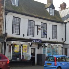
18, High Street
246 m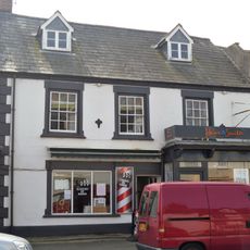
22, High Street
242 m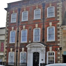
24, High Street
246 m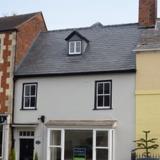
4, Swindon Street
209 m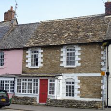
No 6 (Right Hand Block) And No 7
180 m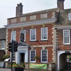
Jesmond House
264 m
19B, High Street
237 m
25, High Street
239 m
16, High Street
248 mVous avez visité ce lieu ? Touchez les étoiles pour le noter et partager votre expérience ou vos photos avec la communauté ! Essayez maintenant ! Vous pouvez annuler à tout moment.
Trouvez des trésors cachés à chaque coin de rue !
Des petits cafés pittoresques aux points de vue planqués, fuyez la foule et dénichez les lieux qui vous ressemblent vraiment. Notre app vous facilite la vie : recherche vocale, filtres malins, itinéraires optimisés et bons plans partagés par des voyageurs du monde entier. Téléchargez vite pour vivre l'aventure en version mobile !

Une approche inédite de la découverte touristique❞
— Le Figaro
Tous les lieux qui valent la peine d'être explorés❞
— France Info
Une excursion sur mesure en quelques clics❞
— 20 Minutes