
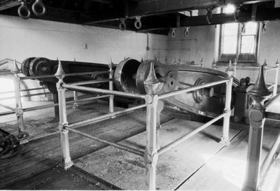
Snarestone Pumping Station, architectural structure in Snarestone, North West Leicestershire, Leicestershire, UK
Emplacement : Snarestone
Coordonnées GPS : 52.68735,-1.48750
Dernière mise à jour : 12 mars 2025 à 00:08

Zoo de Twycross
4.8 km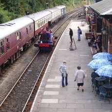
Shackerstone railway station
4.7 km
Queen Elizabeth Diamond Jubilee Wood
4.5 km
St Michael's Church, Stretton en le Field
4.7 km
Church of St Michael
3.2 km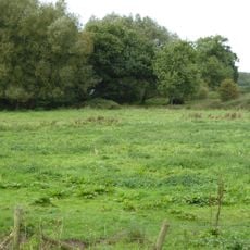
Newton Burgoland Marshes
3.6 km
Church of St John the Baptist
4.3 km
Church of St Bartholomew
879 m
Church of St Mary the Virgin
5 km
Church of St Peter
4.3 km
Church of St Peter, Swepstone
2.1 km
Church of St Lawrence
2.5 km
Church of the Holy Trinity
4 km
Church of the Holy Rood
4.6 km
Church of St Thomas
4.7 km
Church of the Holy Trinity
3.9 km
Church of St John the Evangelist
5.1 km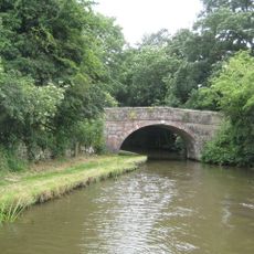
Number 60 Bridge
563 m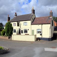
The Moore's Arms Public House
4 km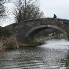
Number 61 Turnover Bridge
352 m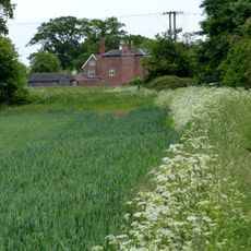
Odstone Hall
5 km
Garden Temple At Ngr 354059 500 Metres South Of Gopsall Hall Farm
4.2 km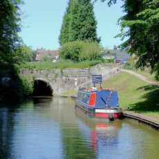
Snarestone Tunnel Entrances
919 m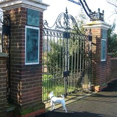
Donisthorpe War Memorial Gateway
5 km
Snarestone War Memorial
805 m
Manor Farmhouse
754 m
Manor Farmhouse
4 km
Help Out Mill
3.9 kmAvis
Vous avez visité ce lieu ? Touchez les étoiles pour le noter et partager votre expérience ou vos photos avec la communauté ! Essayez maintenant ! Vous pouvez annuler à tout moment.
Trouvez des trésors cachés à chaque coin de rue !
Des petits cafés pittoresques aux points de vue planqués, fuyez la foule et dénichez les lieux qui vous ressemblent vraiment. Notre app vous facilite la vie : recherche vocale, filtres malins, itinéraires optimisés et bons plans partagés par des voyageurs du monde entier. Téléchargez vite pour vivre l'aventure en version mobile !

Une approche inédite de la découverte touristique❞
— Le Figaro
Tous les lieux qui valent la peine d'être explorés❞
— France Info
Une excursion sur mesure en quelques clics❞
— 20 Minutes