
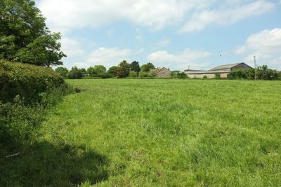
Shade House Farmhouse, farmhouse in Stour Provost, North Dorset, Dorset, UK
Emplacement : Stour Provost
Coordonnées GPS : 50.98959,-2.27910
Dernière mise à jour : 8 mars 2025 à 00:47
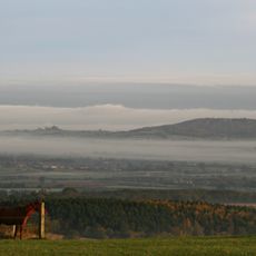
Duncliffe Hill
2.5 km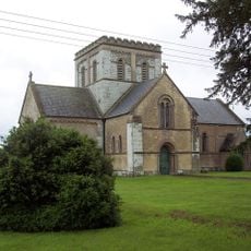
Christ Church
1.8 km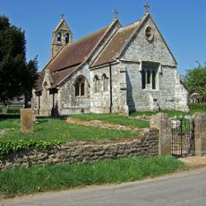
Church of Unknown Dedication
5.1 km
All Saints Church
1.8 km
Church of St Mary Magdalen
2.3 km
Church of All Saints
4.2 km
Church of St Margaret
3.1 km
Church of St Mary
2.7 km
Church of St Gregory
3.4 km
Church of St Michael
1.2 km
Church of St Andrew
1.2 km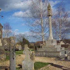
War Memorial in Marnhull Churchyard
3.4 km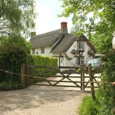
White Cottage
346 m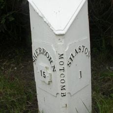
Mile Post To East Of Mead House
5.1 km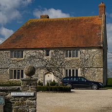
Chantry Farm
4.5 km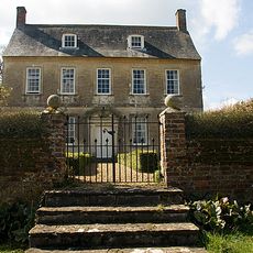
Dalton's Farmhouse Including Front Garden Walls
5.2 km
Lymburgh's Farmhouse
2 km
Senior's Farmhouse And Attached Barn
3.4 km
Gore Farmhouse
3 km
Ruddock's Farmhouse
2.4 km
Milepost, Pennymoor Pitt Farm; 60m E of Farm
2.8 km
Northfield House
1.2 km
Milepost, half mile E of East Stour; opp. house called Northwood.
1.9 km
Milepost, by road jct to Stour Row and Fontmell Magna
3.8 km
Milestone, by railway bridge
5.1 km
Milestone, 25m W of entrance to Fernbrook Farm
4.4 km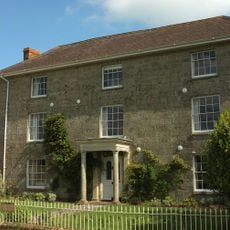
Madjestone Farm House
4 km
Milestone, a mile SE of Gillingham; 115m W of small lay-by.
4.3 kmVous avez visité ce lieu ? Touchez les étoiles pour le noter et partager votre expérience ou vos photos avec la communauté ! Essayez maintenant ! Vous pouvez annuler à tout moment.
Trouvez des trésors cachés à chaque coin de rue !
Des petits cafés pittoresques aux points de vue planqués, fuyez la foule et dénichez les lieux qui vous ressemblent vraiment. Notre app vous facilite la vie : recherche vocale, filtres malins, itinéraires optimisés et bons plans partagés par des voyageurs du monde entier. Téléchargez vite pour vivre l'aventure en version mobile !

Une approche inédite de la découverte touristique❞
— Le Figaro
Tous les lieux qui valent la peine d'être explorés❞
— France Info
Une excursion sur mesure en quelques clics❞
— 20 Minutes