
Dovecote and attached open shelter building 60m south-west Of Church Farmhouse
Dovecote and attached open shelter building 60m south-west Of Church Farmhouse, Grade II listed dovecote in Iwerne Courtney, North Dorset, Dorset, UK
Emplacement : Iwerne Courtney or Shroton
Coordonnées GPS : 50.91149,-2.20119
Dernière mise à jour : 3 mars 2025 à 02:44

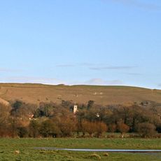
Hambledon Hill
1.4 km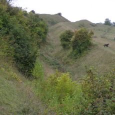
Hod Hill
1.8 km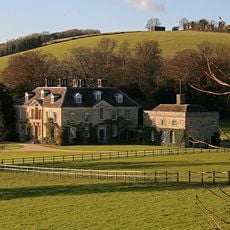
Stepleton House
1.2 km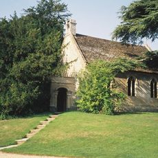
Church of St Michael and All Angels
1.9 km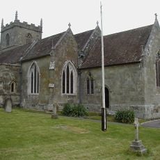
Church of St Mary
57 m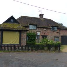
Sunnyside and attached shop
2 km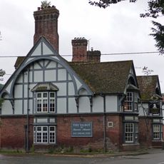
The Talbot at Iwerne Minster
1.9 km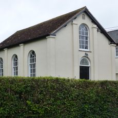
Abingdon Memorial Hall
2 km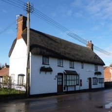
The Post Office
159 m
Sunnyside Cottage
2 km
Pair of cottages approximately 5 m east of Sunnyside
2 km
Hobnail Cottage
344 m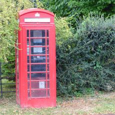
K6 Telephone Kiosk
2 km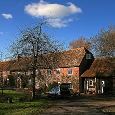
Oyles Mill and Mill House
1.2 km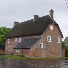
23 and 25 The Cross
432 m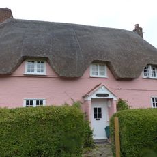
Larks Rise
893 m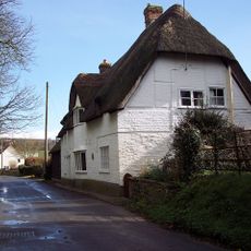
Thatched Cottage
488 m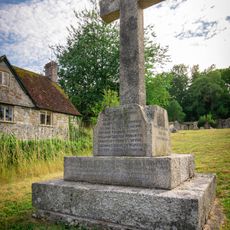
Shroton and Stepleton War Memorial
85 m
Hellum Farmhouse
407 m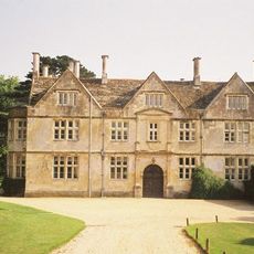
Hanford House
2 km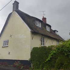
Little Grange
376 m
Fourways
456 m
Church Farmhouse
95 m
Barn 20m south of Church Farmhouse
27 m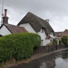
Littleport
260 m
Hod Hill camp and Lydsbury Rings
1.8 km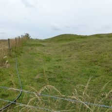
Causewayed camp on Hambledon Hill
1.1 km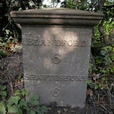
Milepost, S of village, 50m S of 30mph signs
1.4 kmAvis
Vous avez visité ce lieu ? Touchez les étoiles pour le noter et partager votre expérience ou vos photos avec la communauté ! Essayez maintenant ! Vous pouvez annuler à tout moment.
Trouvez des trésors cachés à chaque coin de rue !
Des petits cafés pittoresques aux points de vue planqués, fuyez la foule et dénichez les lieux qui vous ressemblent vraiment. Notre app vous facilite la vie : recherche vocale, filtres malins, itinéraires optimisés et bons plans partagés par des voyageurs du monde entier. Téléchargez vite pour vivre l'aventure en version mobile !

Une approche inédite de la découverte touristique❞
— Le Figaro
Tous les lieux qui valent la peine d'être explorés❞
— France Info
Une excursion sur mesure en quelques clics❞
— 20 Minutes