
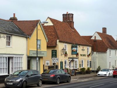
77, High Street, building in Earls Colne, Braintree, Essex, UK
Emplacement : Earls Colne
Coordonnées GPS : 51.92742,0.70244
Dernière mise à jour : 6 mars 2025 à 04:36
East Anglian Railway Museum
3.9 km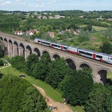
Chappel Viaduct
3.8 km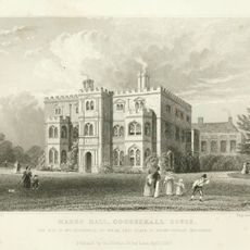
Marks Hall
4 km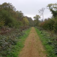
Chalkney Wood
1.9 km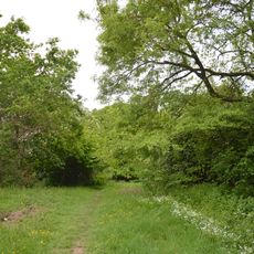
Brickfield and Long Meadow
400 m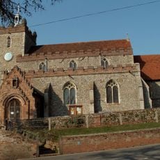
Parish Church of St John the Baptist
4.6 km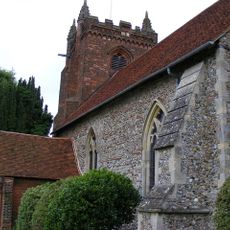
Parish Church of St Andrew
1.7 km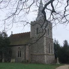
Parish Church of St Andrew
2.3 km
Church of St Barnabas
3.5 km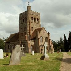
Church of St Barnabas
4.5 km
Parish Church of St James
3.7 km
Church of All Saints
3.1 km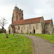
Parish Church of St Andrew
164 m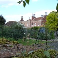
Colne Priory
551 m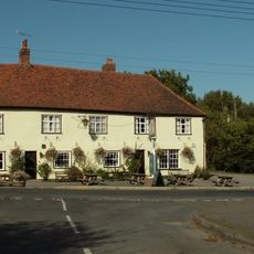
The King's Head Public House
4.7 km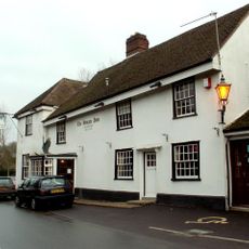
The Swan
3.6 km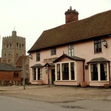
The Chequers Public House
4.5 km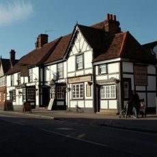
The Lion Public House
279 m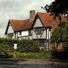
Old House
3.8 km
Watch House
3.7 km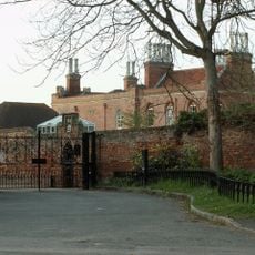
Boundary Wall To South,east And North East Of Colne Priory
642 m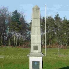
Earls Colne WWII Memorial Obelisk
2.9 km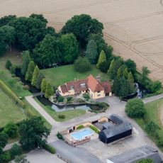
Little Loveney Hall
3.9 km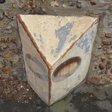
Milepost Outside Colne Place
127 m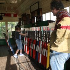
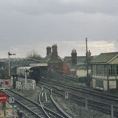
Signal Box Approximately 50 Metres North Of Chappel And Wakes Colne Railway Station
3.9 km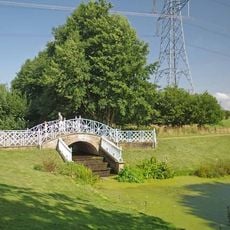
Iron Bridge, Approximately 275 Metres South Of Marks Hall Cottages
4.2 km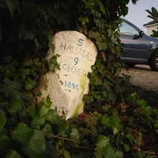
Milestone, Chalkney House, Colchester Road
1.3 km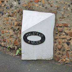
Milepost, opposite Church
124 mAvis
Vous avez visité ce lieu ? Touchez les étoiles pour le noter et partager votre expérience ou vos photos avec la communauté ! Essayez maintenant ! Vous pouvez annuler à tout moment.
Trouvez des trésors cachés à chaque coin de rue !
Des petits cafés pittoresques aux points de vue planqués, fuyez la foule et dénichez les lieux qui vous ressemblent vraiment. Notre app vous facilite la vie : recherche vocale, filtres malins, itinéraires optimisés et bons plans partagés par des voyageurs du monde entier. Téléchargez vite pour vivre l'aventure en version mobile !

Une approche inédite de la découverte touristique❞
— Le Figaro
Tous les lieux qui valent la peine d'être explorés❞
— France Info
Une excursion sur mesure en quelques clics❞
— 20 Minutes