
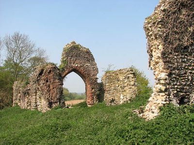
Remains of Church of St Saviour, church ruin in Surlingham, South Norfolk, Norfolk, UK
Emplacement : Surlingham
Coordonnées GPS : 52.60952,1.40737
Dernière mise à jour : 8 mars 2025 à 03:51

Strumpshaw Fen RSPB reserve
3.3 km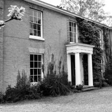
Lesingham House
1.3 km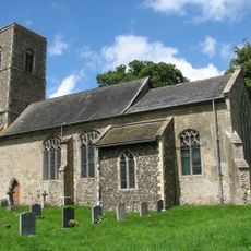
Church of St Michael
3.5 km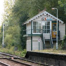
Brundall signal box
2.4 km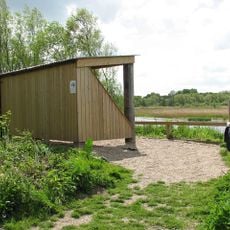
RSPB Surlingham Church Marsh
423 m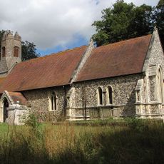
Church of St Margaret
3 km
Church of St Peter
2.4 km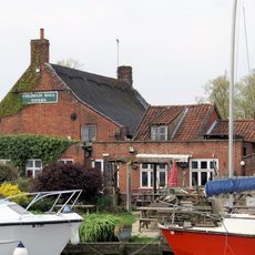
Coldham Hall Inn
1.7 km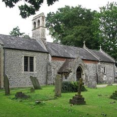
Church of St Lawrence
2.2 km
Church of All Saints
1.6 km
Church of St Andrew
3.2 km
Church of St Mary
2.8 km
Church of St Mary
324 m
Church of St Mary the Virgin
3.3 km
Church At St Andrews Hospital
3.4 km
Bramerton War Memorial
2.4 km
Postwick War Memorial Cross
1.6 km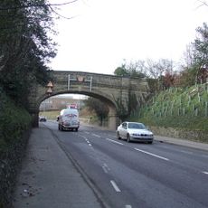
Road Bridge At St Andrews Hospital
3.4 km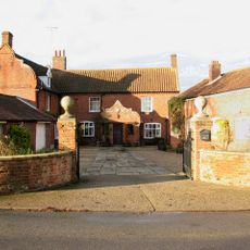
Manor Farmhouse
269 m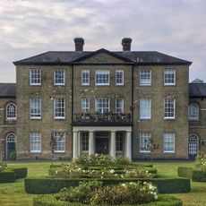
St Andrews Hospital
3.4 km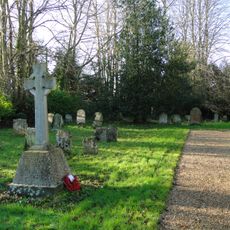
Great Plumstead War Memorial
3.2 km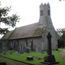
Witton War Memorial Cross
3 km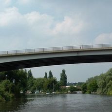
Postwick Viaduct
3 km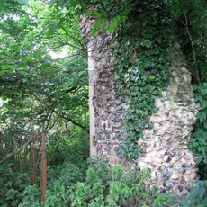
Ruins of Church of St Andrew
3.6 km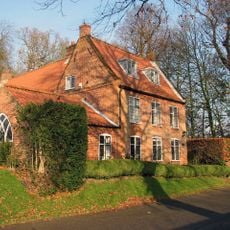
Beech House
3.7 km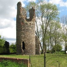
Remains of the church of St Mary, Kirby Bedon
3.2 km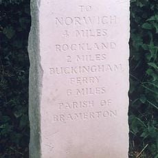
Milestone, Kirby Road, 80yds W of jct with rd to Surlingham
2.3 km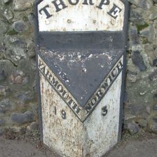
Milepost, 50yds E of bridge
3.3 kmVous avez visité ce lieu ? Touchez les étoiles pour le noter et partager votre expérience ou vos photos avec la communauté ! Essayez maintenant ! Vous pouvez annuler à tout moment.
Trouvez des trésors cachés à chaque coin de rue !
Des petits cafés pittoresques aux points de vue planqués, fuyez la foule et dénichez les lieux qui vous ressemblent vraiment. Notre app vous facilite la vie : recherche vocale, filtres malins, itinéraires optimisés et bons plans partagés par des voyageurs du monde entier. Téléchargez vite pour vivre l'aventure en version mobile !

Une approche inédite de la découverte touristique❞
— Le Figaro
Tous les lieux qui valent la peine d'être explorés❞
— France Info
Une excursion sur mesure en quelques clics❞
— 20 Minutes