
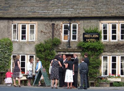
Red Lion Hotel, hotel in Burnsall, Craven, North Yorkshire, UK
Emplacement : Burnsall
Coordonnées GPS : 54.04681,-1.95209
Dernière mise à jour : 24 septembre 2025 à 14:46
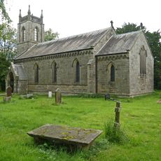
Church of St Peter
1.9 km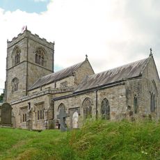
Church of St Wilfred
312 m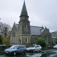
Methodist Chapel
123 m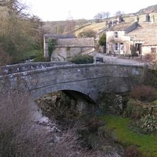
Old Bridge
2.1 km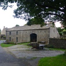
Manor House Barn and approach bridge
2 km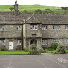
The Old Grammar School
280 m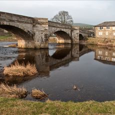
Burnsall Bridge
68 m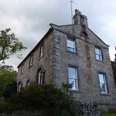
Holly Tree Farmhouse
2 km
Stonycroft
2.1 km
Outbuilding opposite Manor House
2 km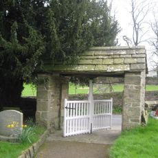
Lych Gate Approximately 30 Metres To West Of Church Of St Wilfred
279 m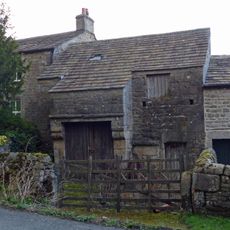
Barn and byre to east of Hardcastle House
2 km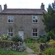
Hardcastle House
2 km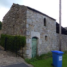
Bull house opposite Kail Farmhouse
2 km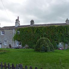
Sunnyside and Sunnybank
2 km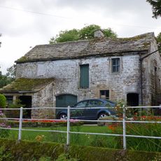
Barn and bothy range to S of Hardy Grange Farmhouse
2.1 km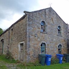
Barn approximately 10 metres south of Holly Tree Farmhouse
2 km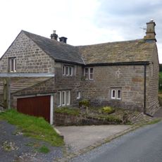
Blackburn House
2.1 km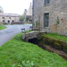
Culvert mouth, lining walls, bridge and sheepwash west of Manor House Barn
2 km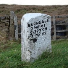
Mile Post At Junction Of B 6265 And Hartlington Raikes Road
2.2 km
Holes Beck Farmhouse And Attached Barn
2 km
Glaholm
2.4 km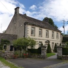
Manor house with wall and gate piers
2 km
Kail Farmhouse
2 km
Outbuilding to west end of Hardcastle House
2 km
Hardy Grange Farmhouse
2.1 km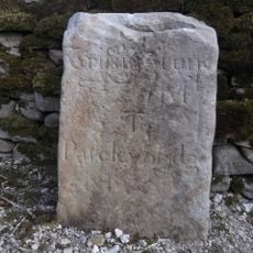
Milestone, Tinker Lane, Hebden on pre turnpike route
2.2 km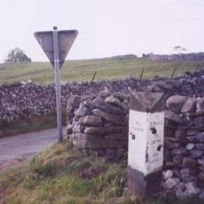
Guidestone, Kail Lane, by drystone wall
1.7 kmVous avez visité ce lieu ? Touchez les étoiles pour le noter et partager votre expérience ou vos photos avec la communauté ! Essayez maintenant ! Vous pouvez annuler à tout moment.
Trouvez des trésors cachés à chaque coin de rue !
Des petits cafés pittoresques aux points de vue planqués, fuyez la foule et dénichez les lieux qui vous ressemblent vraiment. Notre app vous facilite la vie : recherche vocale, filtres malins, itinéraires optimisés et bons plans partagés par des voyageurs du monde entier. Téléchargez vite pour vivre l'aventure en version mobile !

Une approche inédite de la découverte touristique❞
— Le Figaro
Tous les lieux qui valent la peine d'être explorés❞
— France Info
Une excursion sur mesure en quelques clics❞
— 20 Minutes