
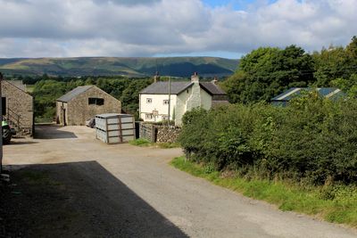
Lower Lees Farmhouse, Grade II listed farmhouse in Bowland Forest Low, Ribble Valley, Lancashire, UK
Emplacement : Bowland Forest Low
Coordonnées GPS : 53.89350,-2.52721
Dernière mise à jour : 12 mai 2025 à 14:08
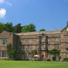
Browsholme Hall
3.1 km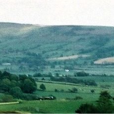
Longridge Fell
3.2 km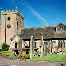
St Bartholomew's Church, Chipping
3.4 km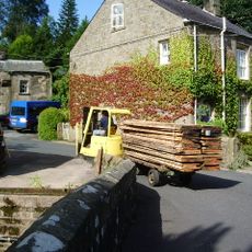
Kirk Mill
3.4 km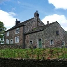
Cow Ark Farmhouse
2.1 km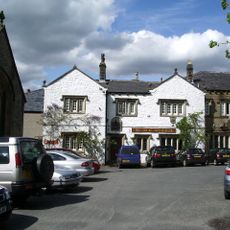
The Inn at Whitewell
2.7 km
Higher Lees Farmhouse
1.1 km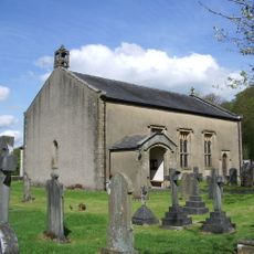
Church of St Michael
2.6 km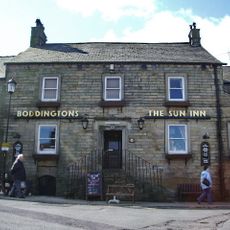
The Sun Inn
3.3 km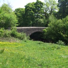
Loud Mytham Bridge
1.3 km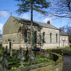
Church of St Mary
3.3 km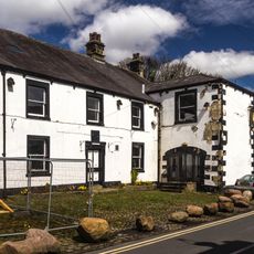
Talbot Hotel
3.3 km
Guidestone, ExYW Lees, E of River Hodder, in wall
633 m
Churchyard wall and steps at Church of St Bartholomew
3.4 km
12 and 14 Talbot Street
3.3 km
Farm building at Fair Oak Farm 400 metres north-west of Fair Oak Farmhouse
2 km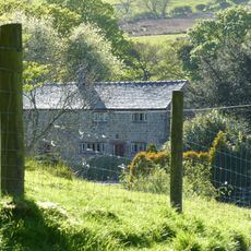
Farm store to south-east of southern farmhouse
3 km
Barn at Fair Oak Farm
1.9 km
Limekiln 20 metres north of Cow Ark Bridge
2.2 km
Southern Farmhouse
3 km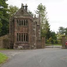
West Lodge, Browsholme Hall and pair of gatepiers adjoining to south
2.9 km
Higher Whitewell Farmhouse
3 km
New Laund Farmhouse
2.8 km
Doeford Bridge
1.2 km
20 and 22 Talbot Street
3.3 km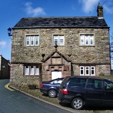
Brabin's School
3.3 km
Sundial in churchyard to south of Church of St Bartholomew
3.4 km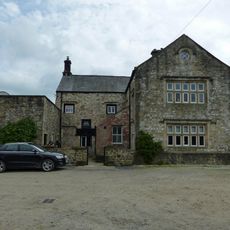
Stakes
1 kmVous avez visité ce lieu ? Touchez les étoiles pour le noter et partager votre expérience ou vos photos avec la communauté ! Essayez maintenant ! Vous pouvez annuler à tout moment.
Trouvez des trésors cachés à chaque coin de rue !
Des petits cafés pittoresques aux points de vue planqués, fuyez la foule et dénichez les lieux qui vous ressemblent vraiment. Notre app vous facilite la vie : recherche vocale, filtres malins, itinéraires optimisés et bons plans partagés par des voyageurs du monde entier. Téléchargez vite pour vivre l'aventure en version mobile !

Une approche inédite de la découverte touristique❞
— Le Figaro
Tous les lieux qui valent la peine d'être explorés❞
— France Info
Une excursion sur mesure en quelques clics❞
— 20 Minutes