
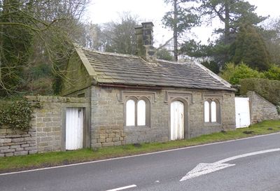
Toll Bar Cottage, cottage in Hathersage, Derbyshire Dales, Derbyshire, UK
Emplacement : Hathersage
Coordonnées GPS : 53.32590,-1.64648
Dernière mise à jour : 18 mars 2025 à 06:37
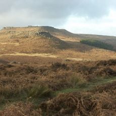
Carl Wark
2.3 km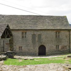
Padley Chapel
2.3 km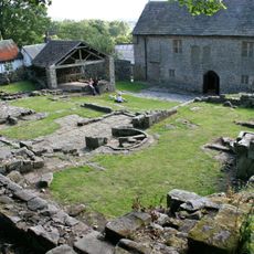
Padley Hall
2.3 km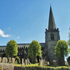
Church of St Michael and All Angels
837 m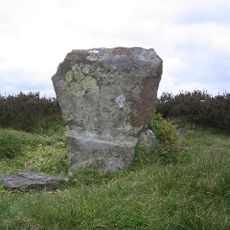
Embanked stone circle known as Wet Withens, and adjacent cairn
2.3 km
Highlow Hall
2 km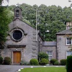
Roman Catholic Church of St Michael
878 m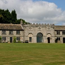
Scraperlow Farmhouse and attached outbuildings
776 m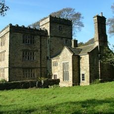
North Lees Hall
2.4 km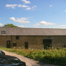
Brunt's Barn, Upper Padley, Grindleford
2.4 km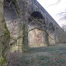
Hathersage Viaduct
815 m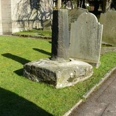
Cross shaft in St Michael's churchyard
820 m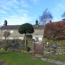
Booth's Farmhouse
464 m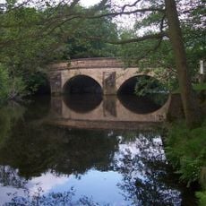
Leadmill Bridge
546 m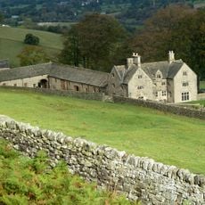
Offerton Hall
2.2 km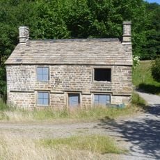
Former Gamekeepers Lodge At Brookfield Manor
2 km
The Old Bell House
803 m
Camp Green ringwork
863 m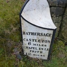
Milepost 20 Yards To The South West Of The Entrance To Hathersage Hall
621 m
Rock House, Attached Outbuilding Entrance, Gate Piers And Gates
744 m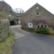
Lower Booths Farmhouse
429 m
Nether Hall
960 m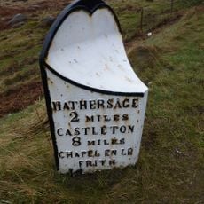
Mile Post 800 Yards To The South West Of Burbage Bridge
2.1 km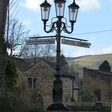
Lamp column to the north east of Hathersage Farmhouse
791 m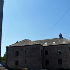
Dale Mill And Detached Chimney
697 m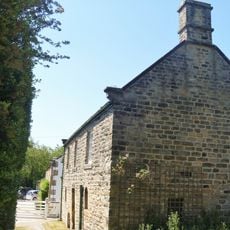
Outbuilding To The North East Of The Old Bell House
807 m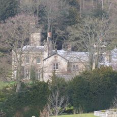
Brookfield Manor
2 km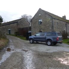
Mitchell Field Farmhouse
1.3 kmAvis
Vous avez visité ce lieu ? Touchez les étoiles pour le noter et partager votre expérience ou vos photos avec la communauté ! Essayez maintenant ! Vous pouvez annuler à tout moment.
Trouvez des trésors cachés à chaque coin de rue !
Des petits cafés pittoresques aux points de vue planqués, fuyez la foule et dénichez les lieux qui vous ressemblent vraiment. Notre app vous facilite la vie : recherche vocale, filtres malins, itinéraires optimisés et bons plans partagés par des voyageurs du monde entier. Téléchargez vite pour vivre l'aventure en version mobile !

Une approche inédite de la découverte touristique❞
— Le Figaro
Tous les lieux qui valent la peine d'être explorés❞
— France Info
Une excursion sur mesure en quelques clics❞
— 20 Minutes