
Lode Farmhouse, farmhouse in Kingsley, East Hampshire, Hampshire, UK
Emplacement : Kingsley
Coordonnées GPS : 51.13446,-0.89215
Dernière mise à jour : 18 mars 2025 à 14:58
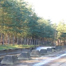
Hogmoor Inclosure
3.1 km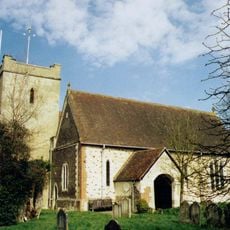
Church of St Mary
5.3 km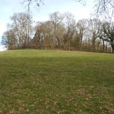
Hillfort on King John's Hill
2 km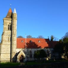
St Matthew's Church
4.3 km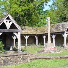
Blackmoor War Memorial
4.3 km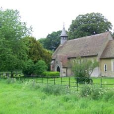
St Leonard's Church, Hartley Mauditt
3.8 km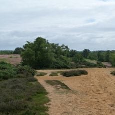
Kingsley Common
1.7 km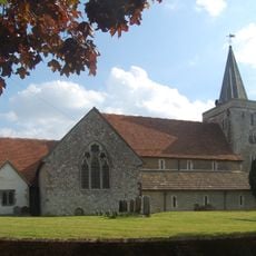
Church of the Holy Cross
3.2 km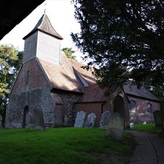
Church of St Nicholas
245 m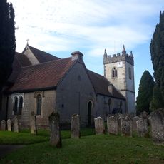
Church of All Saints
4.8 km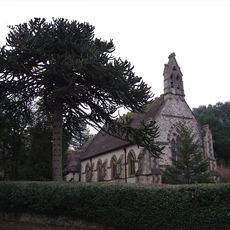
Church of All Saints
1.3 km
Church of St Nicholas
3.6 km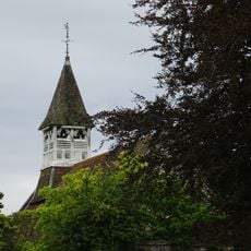
Church of St Mary
2.6 km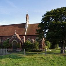
Congregational Chapel
1.5 km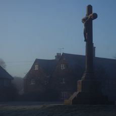
Binsted War Memorial
3.2 km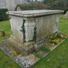
Table Tomb 10 Metres South-East Of The Church Of St Mary
2.5 km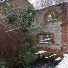
Anstey Mill
5.2 km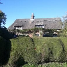
The Thatched Cottage
2.6 km
3 Candovers Long Candovers
2.9 km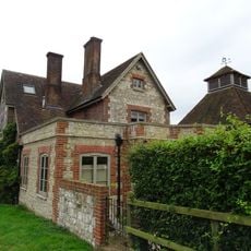
Clay's Farmhouse
3.3 km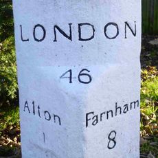
Milestone
5.2 km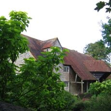
Barn 30 Metres South Of Mill Court
4.3 km
Headley War Memorial
4.8 km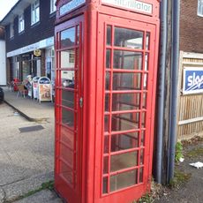
K6 Telephone Kiosk To North Of The Holly Bush Public House
4.9 km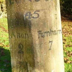
Bonham's Milestone
4.9 km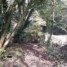
River Wey aqueduct, Headley Park
3.8 km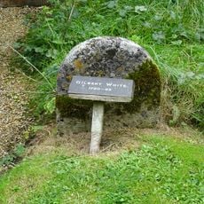
Gravestone Of Gilbert White North East Of The Vestry
5.3 km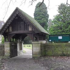
Churchyard Boundary Wall With Lychgate And Service Building
4.3 kmAvis
Vous avez visité ce lieu ? Touchez les étoiles pour le noter et partager votre expérience ou vos photos avec la communauté ! Essayez maintenant ! Vous pouvez annuler à tout moment.
Trouvez des trésors cachés à chaque coin de rue !
Des petits cafés pittoresques aux points de vue planqués, fuyez la foule et dénichez les lieux qui vous ressemblent vraiment. Notre app vous facilite la vie : recherche vocale, filtres malins, itinéraires optimisés et bons plans partagés par des voyageurs du monde entier. Téléchargez vite pour vivre l'aventure en version mobile !

Une approche inédite de la découverte touristique❞
— Le Figaro
Tous les lieux qui valent la peine d'être explorés❞
— France Info
Une excursion sur mesure en quelques clics❞
— 20 Minutes