
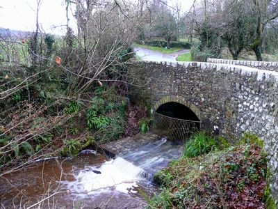
Road Bridge Over Dawlish Water, road bridge in Ashcombe, Teignbridge, Devon, UK
Emplacement : Ashcombe
Coordonnées GPS : 50.60583,-3.53688
Dernière mise à jour : 28 novembre 2025 à 15:30
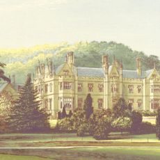
Mamhead House
2.3 km
Castle Dyke
2.7 km
Ideford Common
1.7 km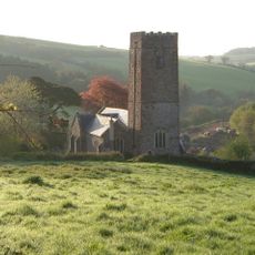
Parish Church of St Nectan
125 m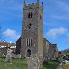
Church of St Mary
2.9 km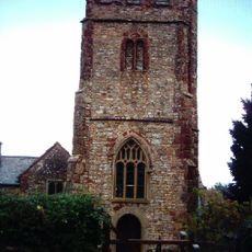
Church of St Thomas
2.2 km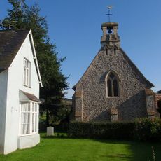
Chapel Of St John The Evangelist
2.8 km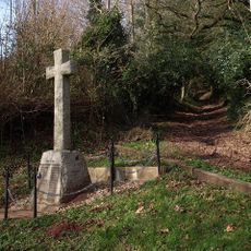
Ashcombe War Memorial
1.6 km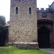
Stable Yard And Service Buildings North West Of Dawlish College (Mamhead House)
2.2 km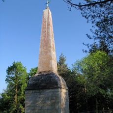
The Obelisk
1.7 km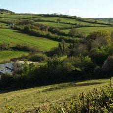
Broomhouse Farmhouse
1.9 km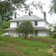
The Old Rectory
103 m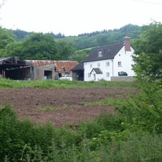
Court Farmhouse
88 m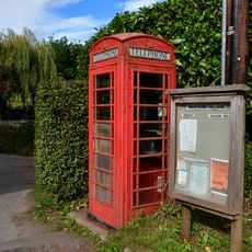
K6 Telephone Kiosk
2.8 km
Kitchen Garden Walls At Brinshill To The North, West And North West
2.7 km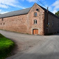
4 Ranges Of Fambuildings At Home Farm
2.8 km
Terrace Wall To Terrace South Of Return Of The Palm House And Brinshill
2.7 km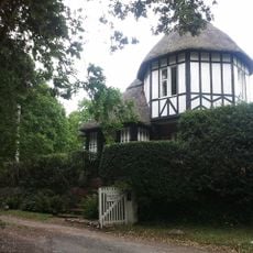
Dawlish Lodge
2 km
Home Farmhouse
2.8 km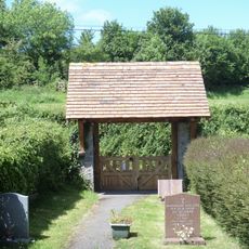
Lychgate to Chapel of St John the Evangelist
2.8 km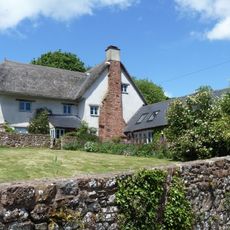
The Old Mill
2.9 km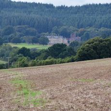
Mamhead Park
2.3 km
Langdon Barton
1.9 km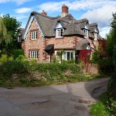
Fernley
2.8 km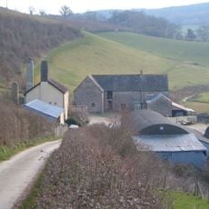
Lower Dunscombe Farmhouse
2.8 km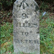
Milestone, 200m S of Mamhead jct just S of sign to Ashcombe cottages and activities on N-bound carriageway
1.3 km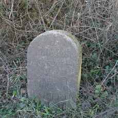
Milestone, Colley Lane; 450m NW of turn to Luton, 100m N of small Transco depot
1.5 km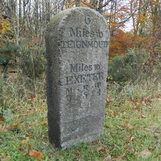
Milestone, 250m N of Mamhead Cross
1.7 kmVous avez visité ce lieu ? Touchez les étoiles pour le noter et partager votre expérience ou vos photos avec la communauté ! Essayez maintenant ! Vous pouvez annuler à tout moment.
Trouvez des trésors cachés à chaque coin de rue !
Des petits cafés pittoresques aux points de vue planqués, fuyez la foule et dénichez les lieux qui vous ressemblent vraiment. Notre app vous facilite la vie : recherche vocale, filtres malins, itinéraires optimisés et bons plans partagés par des voyageurs du monde entier. Téléchargez vite pour vivre l'aventure en version mobile !

Une approche inédite de la découverte touristique❞
— Le Figaro
Tous les lieux qui valent la peine d'être explorés❞
— France Info
Une excursion sur mesure en quelques clics❞
— 20 Minutes