
Minchins Farmhouse, farmhouse in Bramley, Basingstoke and Deane, Hampshire, UK
Emplacement : Bramley
Coordonnées GPS : 51.33605,-1.06302
Dernière mise à jour : 22 mars 2025 à 02:58
Calleva Atrebatum
2.7 km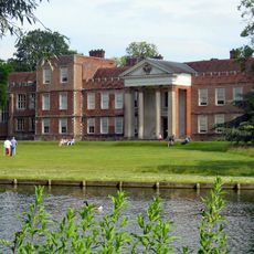
The Vyne
3.7 km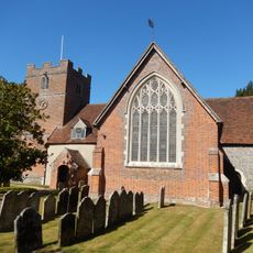
Church of St James
1.4 km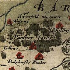
Forêt de Pamber et Silchester Common
3.9 km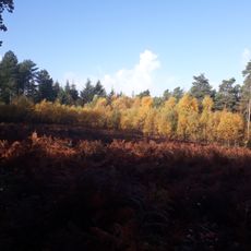
The Frith
4 km
Calleva Atrebatum
2.7 km
Silchester House
3.1 km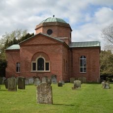
Church of St. Mary the Virgin, Stratfield Saye
4.4 km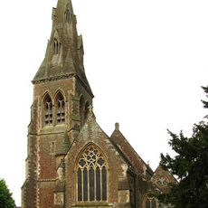
Church of St Mary Church of St Mary 66826410
4.3 km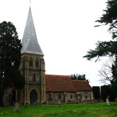
Church of St. Leonard
3.8 km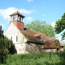
Church of All Saints
3.6 km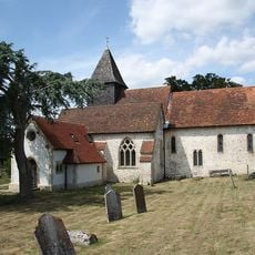
Church of St. Mary
2.5 km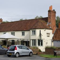
The White Hart Public House
3.4 km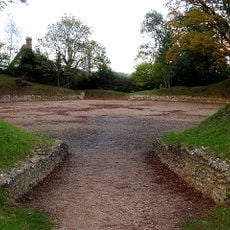
Silchester Amphitheatre
2.7 km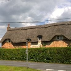
Dial Cottage
3.3 km
Bridge Over The River Loddon
4.4 km
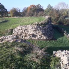
The Late Iron Age oppidum and Roman town of Calleva Atrebatum and associated features
2.7 km
Old Bells House
1.5 km
The Mount Farmhouse
2.7 km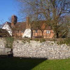
Old Manor Farmhouse
2.5 km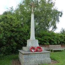
Mortimer West End War Memorial
4.1 km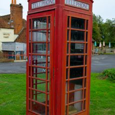
K6 Telephone Kiosk South South West Of The White Hart Public House
3.4 km
The Old School House
3.4 km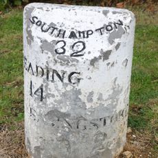
Milestone On A33 At Ngr 682583
3.3 km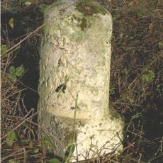
Milestone On A33 At Ngr 695 592
4.2 km
Stable Block
3.6 km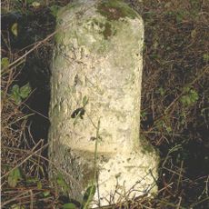
Milestone, Turgis Green
4.2 km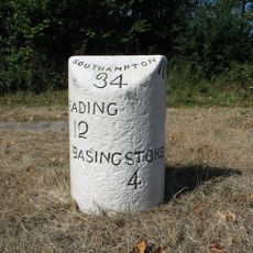
Milestone, jct of old road and Sherfield by-pass
3.8 kmAvis
Vous avez visité ce lieu ? Touchez les étoiles pour le noter et partager votre expérience ou vos photos avec la communauté ! Essayez maintenant ! Vous pouvez annuler à tout moment.
Trouvez des trésors cachés à chaque coin de rue !
Des petits cafés pittoresques aux points de vue planqués, fuyez la foule et dénichez les lieux qui vous ressemblent vraiment. Notre app vous facilite la vie : recherche vocale, filtres malins, itinéraires optimisés et bons plans partagés par des voyageurs du monde entier. Téléchargez vite pour vivre l'aventure en version mobile !

Une approche inédite de la découverte touristique❞
— Le Figaro
Tous les lieux qui valent la peine d'être explorés❞
— France Info
Une excursion sur mesure en quelques clics❞
— 20 Minutes