
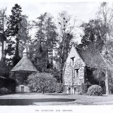
The Chantry, architectural structure in Bisley-with-Lypiatt, Stroud, Gloucestershire, UK
Emplacement : Bisley-with-Lypiatt
Coordonnées GPS : 51.74855,-2.14351
Dernière mise à jour : 14 juillet 2025 à 08:04
Lypiatt Park
1.6 km
Strawberry Banks
2.4 km
Swift's Hill SSSI
2.7 km
Three Groves Wood
2.8 km
Rough Bank, Miserden
3.2 km
Juniper Hill, Edgeworth
2.7 km
Snows Farm Nature Reserve
3 km
Church of St John the Baptist
2.4 km
Church of All Saints
422 m
Christ Church
3.2 km
Church of St Michael and All Angels
2.8 km
Church of St Bartholomew
2.4 km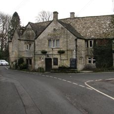
The Bear Inn
519 m
RMC: The cave
3.3 km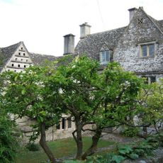
Througham Court
3 km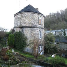
Canal Round House
3.2 km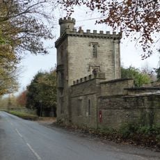
Lodge And Gateway To Lypiatt Park
2.1 km
Bisley War Memorial
617 m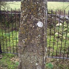
Lypiatt Cross
1.5 km
Southview
612 m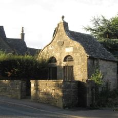
Lock Up With Forecourt Wall
532 m
Througham Slad Farmhouse Including 2 Walled Courtyards With Gate Pier
2.3 km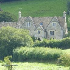
Abbey Farmhouse
3 km
Down Farmhouse
3.2 km
Vatch House
3.2 km
Milestone, Bisley Road
970 m
Milestone, Catswood Lane, 450m E Ansteads Farm entrance
1.8 km
Milestone Approximately 10 Metres South East Of Lock Up
529 mAvis
Vous avez visité ce lieu ? Touchez les étoiles pour le noter et partager votre expérience ou vos photos avec la communauté ! Essayez maintenant ! Vous pouvez annuler à tout moment.
Trouvez des trésors cachés à chaque coin de rue !
Des petits cafés pittoresques aux points de vue planqués, fuyez la foule et dénichez les lieux qui vous ressemblent vraiment. Notre app vous facilite la vie : recherche vocale, filtres malins, itinéraires optimisés et bons plans partagés par des voyageurs du monde entier. Téléchargez vite pour vivre l'aventure en version mobile !

Une approche inédite de la découverte touristique❞
— Le Figaro
Tous les lieux qui valent la peine d'être explorés❞
— France Info
Une excursion sur mesure en quelques clics❞
— 20 Minutes