
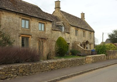
The Hollies, architectural structure in Barrington, Cotswold, Gloucestershire, UK
Emplacement : Barrington
Coordonnées GPS : 51.82184,-1.69672
Dernière mise à jour : 3 mars 2025 à 01:18
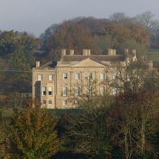
Barrington Park
637 m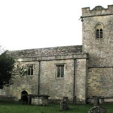
Church of St Peter
1.8 km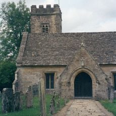
Church of St Peter
980 m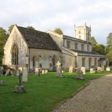
Church of St Mary
543 m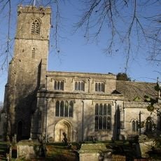
Church of St John the Evangelist
2.4 km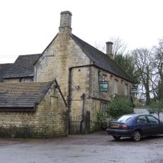
The Fox Inn
818 m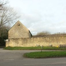
Stableblock Circa 35 Metres West Of Park Farmhouse
256 m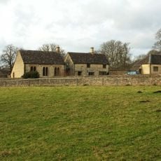
Reading Room
381 m
Clairvoyee, Gate And Piers Set Within The Eastern Boundary Wall Of Barrington Park
395 m
The Lower House
918 m
Inn For All Seasons
1.8 km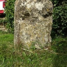
Milestone
1.7 km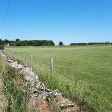
Windrush camp
3.2 km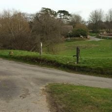
Village Pump And Stone Trough At The Western Corner Of The Green
1.1 km
Windrush Mill
1.8 km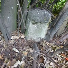
Milestone
1.7 km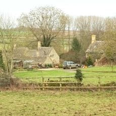
2, Minnow Lane
886 m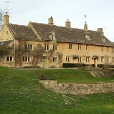
Green Close
1.1 km
Walled Garden East Of The Church Of St Mary, Barrington Park
519 m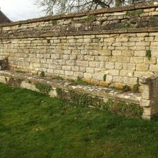
Wall Incorporating Stone Seat Forming The Northern Boundary To The Churchyard Of The Church Of St Mary
519 m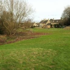
Dunford House
1 km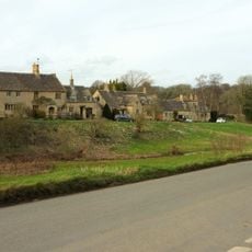
The Old Forge
1 km
Pair Of Adjoining Barns Circa 4 Metres West Of Stable Block At Greendrive Farmhouse
1.1 km
Milestone
3.1 km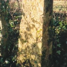
Milestone, 300m SW of Saracen Antiques & Upton Downs Farm
2.6 km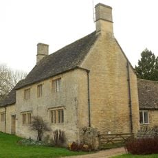
Village Farmhouse
1.1 km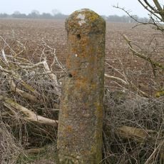
Milestone, Upton Lane
3.1 km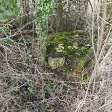
Milestone, Cat's Alley Barn, opp. jct to Westwell
3.1 kmVous avez visité ce lieu ? Touchez les étoiles pour le noter et partager votre expérience ou vos photos avec la communauté ! Essayez maintenant ! Vous pouvez annuler à tout moment.
Trouvez des trésors cachés à chaque coin de rue !
Des petits cafés pittoresques aux points de vue planqués, fuyez la foule et dénichez les lieux qui vous ressemblent vraiment. Notre app vous facilite la vie : recherche vocale, filtres malins, itinéraires optimisés et bons plans partagés par des voyageurs du monde entier. Téléchargez vite pour vivre l'aventure en version mobile !

Une approche inédite de la découverte touristique❞
— Le Figaro
Tous les lieux qui valent la peine d'être explorés❞
— France Info
Une excursion sur mesure en quelques clics❞
— 20 Minutes