
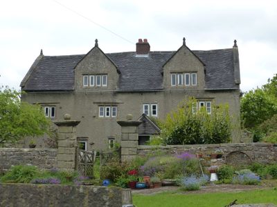
Woodhead Farm, Grade II listed farmhouse in the parish of Kniveton, Derbyshire Dales, Derbyshire, UK
Emplacement : Kniveton
Coordonnées GPS : 53.03213,-1.67681
Dernière mise à jour : 2 mars 2025 à 21:16
Ashbourne Hall
3.7 km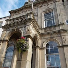
The Town Hall
4 km
Carsington Water Visitor Centre
4 km
St Michael and All Angels Church, Kniveton
2.2 km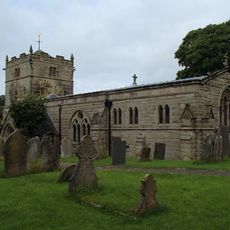
Church of St Bartholomew
2.8 km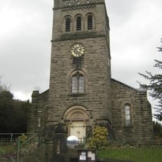
Church of St John With Street Railings, Gates, Piers And Front Steps
4 km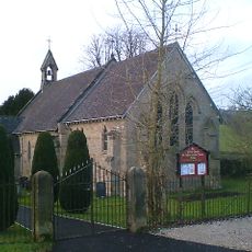
Church of St Phillip and St James
1.3 km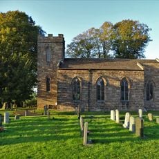
Christ Church
3.3 km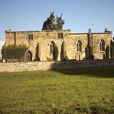
Church of All Saints
2.5 km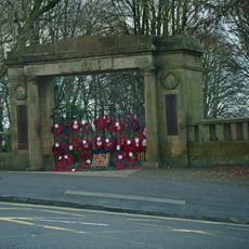
War Memorial Arch to Park
3.9 km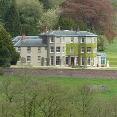
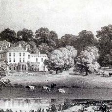
Sandybrook Hall
3.9 km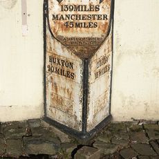
Milestone
4 km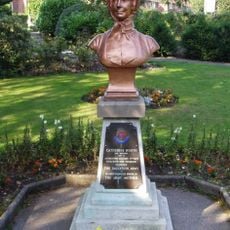
Bust of Catherine Mumford (Booth)
3.8 km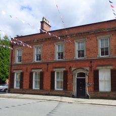
58, St John's Street
3.9 km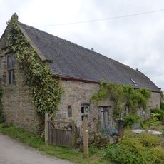
Barn at Woodhead Farm
54 m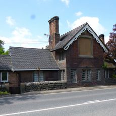
Old Tollhouse
4 km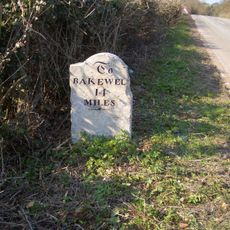
Mile Stone (South West Of Horsley Farm)
3.4 km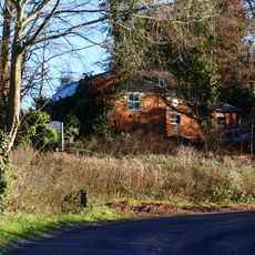
Stables at Sandybrook Hall
3.9 km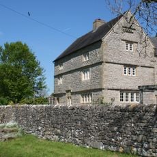
Netherton Hall
4 km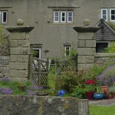
Gate piers at Woodhead Farm
18 m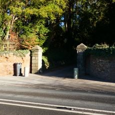
Boundary walls and gate piers to Sandybrook Hall
3.9 km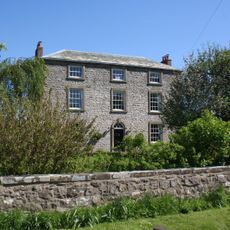
Park Farmhouse
4 km
Atlow moated site, enclosures and causeway
934 m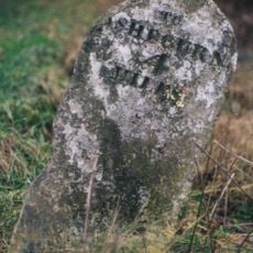
Milestone, N of The Green Hall
2.8 km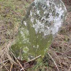
Milestone, Hognaston Winn
2.7 km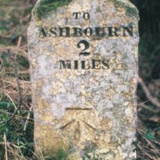
Milestone, S of the Ketch PH, NE of Rowfield Lane jct
2.3 km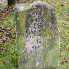
Milestone, opp. parish church entrance
2.2 km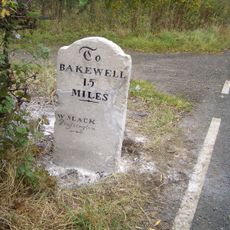
Milestone, Woodeaves Cottage, Bakewell Road
3.7 kmVous avez visité ce lieu ? Touchez les étoiles pour le noter et partager votre expérience ou vos photos avec la communauté ! Essayez maintenant ! Vous pouvez annuler à tout moment.
Trouvez des trésors cachés à chaque coin de rue !
Des petits cafés pittoresques aux points de vue planqués, fuyez la foule et dénichez les lieux qui vous ressemblent vraiment. Notre app vous facilite la vie : recherche vocale, filtres malins, itinéraires optimisés et bons plans partagés par des voyageurs du monde entier. Téléchargez vite pour vivre l'aventure en version mobile !

Une approche inédite de la découverte touristique❞
— Le Figaro
Tous les lieux qui valent la peine d'être explorés❞
— France Info
Une excursion sur mesure en quelques clics❞
— 20 Minutes