
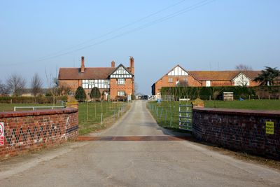
Dodleston Lane Farmhouse, Grade II listed farmhouse in Dodleston, Cheshire West and Chester, Cheshire, CH4
Emplacement : Dodleston
Création : 1890
Coordonnées GPS : 53.13538,-2.94949
Dernière mise à jour : 4 mars 2025 à 15:56
Trevalyn Hall
3.4 km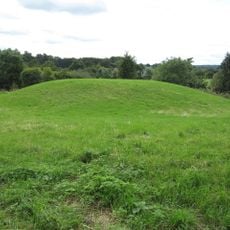
Pulford Castle
1.8 km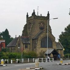
Christ Church, Rossett
3.1 km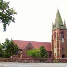
St Mary's Church, Pulford
1.7 km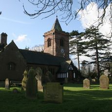
St Mary's Church, Dodleston
797 m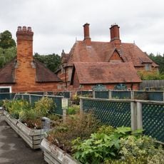
Belgrave Lodge
2.3 km
Dodleston Castle
770 m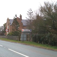
Lower Kinnerton Hall
3.1 km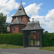
All Saints Church, Higher Kinnerton
3.8 km
Presbyterian Chapel, Rossett
3.1 km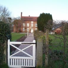
Green Farmhouse, Poulton
3.3 km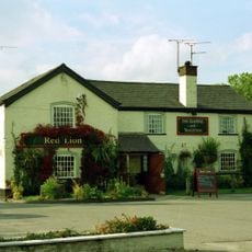
Red Lion Inn
972 m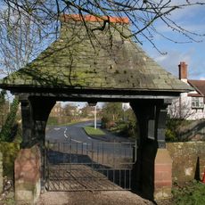
Lychgate canopy and wing walls, St Mary's Churchyard
838 m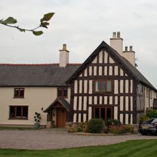
Trevalyn Farmhouse
3.4 km
Meifod
3.2 km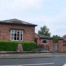
Pulford War Memorial
1.7 km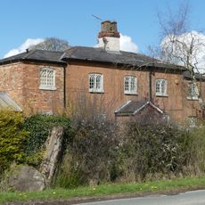
Old School House
2.6 km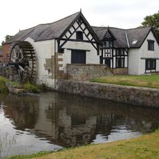
Rossett Mill
3.2 km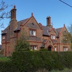
Broadhey Farm Farmhouse
2.9 km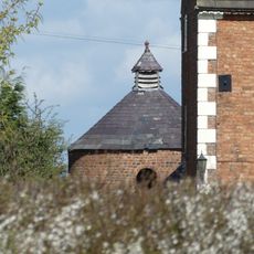
Dovecote at Dodleston Hall
1.4 km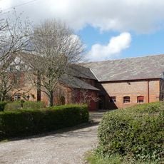
Broadhey Farm Buildings
2.9 km
Farm buildings at Meadow House Farm
514 m
Former central farm building associated with Moor End Farm
2.3 km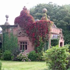
Lodge and forecourt wall north of former Pulford Approach to Eaton Park
1.8 km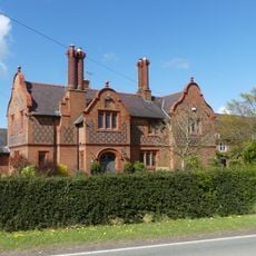
Gell Farm Farmhouse
2.8 km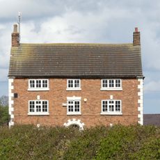
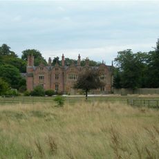
Dodleston Hall
1.4 km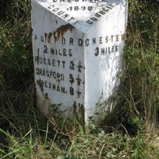
Milepost, SE of Belgrave Bridge, A483 roundabout
2.8 km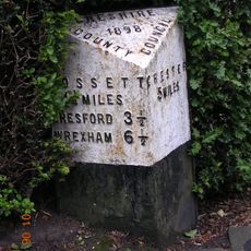
Milepost, Main Street, 20m N of jct with Old Lane
1.7 kmVous avez visité ce lieu ? Touchez les étoiles pour le noter et partager votre expérience ou vos photos avec la communauté ! Essayez maintenant ! Vous pouvez annuler à tout moment.
Trouvez des trésors cachés à chaque coin de rue !
Des petits cafés pittoresques aux points de vue planqués, fuyez la foule et dénichez les lieux qui vous ressemblent vraiment. Notre app vous facilite la vie : recherche vocale, filtres malins, itinéraires optimisés et bons plans partagés par des voyageurs du monde entier. Téléchargez vite pour vivre l'aventure en version mobile !

Une approche inédite de la découverte touristique❞
— Le Figaro
Tous les lieux qui valent la peine d'être explorés❞
— France Info
Une excursion sur mesure en quelques clics❞
— 20 Minutes