
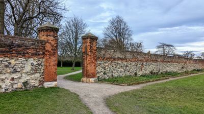
Waltham Abbey Walls, Including Chapter House Wall, building in Waltham Abbey, Epping Forest, Essex, UK
Emplacement : Waltham Abbey
Coordonnées GPS : 51.68797,-0.00227
Dernière mise à jour : 7 mars 2025 à 00:25
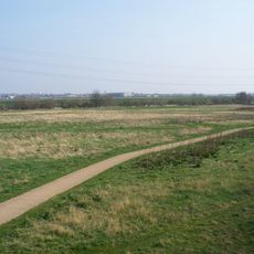
Lee Valley Park
1.4 km
Waltham Abbey Royal Gunpowder Mills
764 m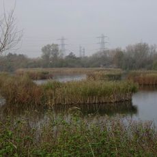
Fishers Green
2 km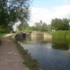
Waltham Common Lock
1.6 km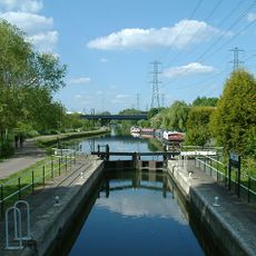
Rammey Marsh Lock
1.3 km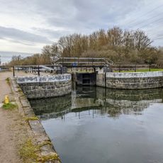
Waltham Town Lock
715 m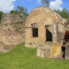
Waltham Abbey SSSI
1.3 km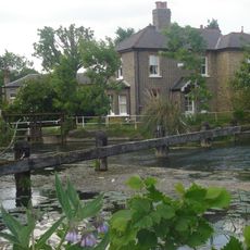
Newmans Weir
1.9 km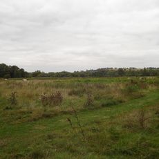
Cornmill Stream and Old River Lea
640 m
Église de Waltham Abbey
100 m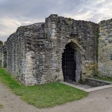
Midnight Chapel
20 m
The Sun Inn
155 m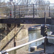
Bridge At Rammey Lock
1.3 km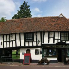
The Welsh Harp Public House
106 m
39, Sun Street
230 m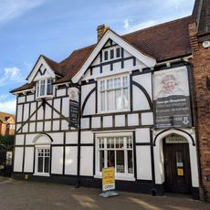
Epping Forest District Museum
222 m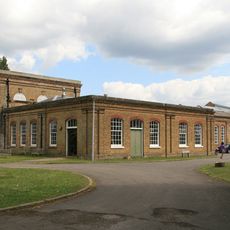
Ministry Of Defence Building L157 (group C Incorporating Mills)
661 m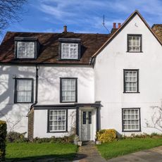
Waltham Abbey Vicarage
106 m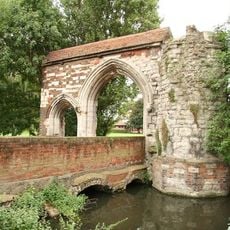
Abbey Gateway
117 m
Waltham Abbey Library
212 m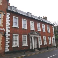
31, Highbridge Street
271 m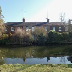
71-76, Government Row
1.8 km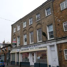
23, Highbridge Street
249 m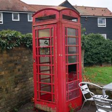
K6 Telephone Kiosk To North Of Number 2
135 m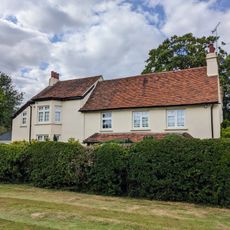
Fishers Green Farmhouse
2 km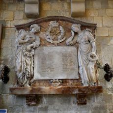
20th Battalion Imperial Yeomanry Rough Riders Boer War Memorial, Waltham Abbey
107 m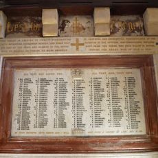
Waltham Abbey War Memorial
107 m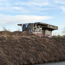
World War II Bofors Anti-aircraft gun platform 340m south east of Cheshunt railway station
1.9 kmAvis
Vous avez visité ce lieu ? Touchez les étoiles pour le noter et partager votre expérience ou vos photos avec la communauté ! Essayez maintenant ! Vous pouvez annuler à tout moment.
Trouvez des trésors cachés à chaque coin de rue !
Des petits cafés pittoresques aux points de vue planqués, fuyez la foule et dénichez les lieux qui vous ressemblent vraiment. Notre app vous facilite la vie : recherche vocale, filtres malins, itinéraires optimisés et bons plans partagés par des voyageurs du monde entier. Téléchargez vite pour vivre l'aventure en version mobile !

Une approche inédite de la découverte touristique❞
— Le Figaro
Tous les lieux qui valent la peine d'être explorés❞
— France Info
Une excursion sur mesure en quelques clics❞
— 20 Minutes